MyTopo
Rattlesnake Montana US Topo Map
Couldn't load pickup availability
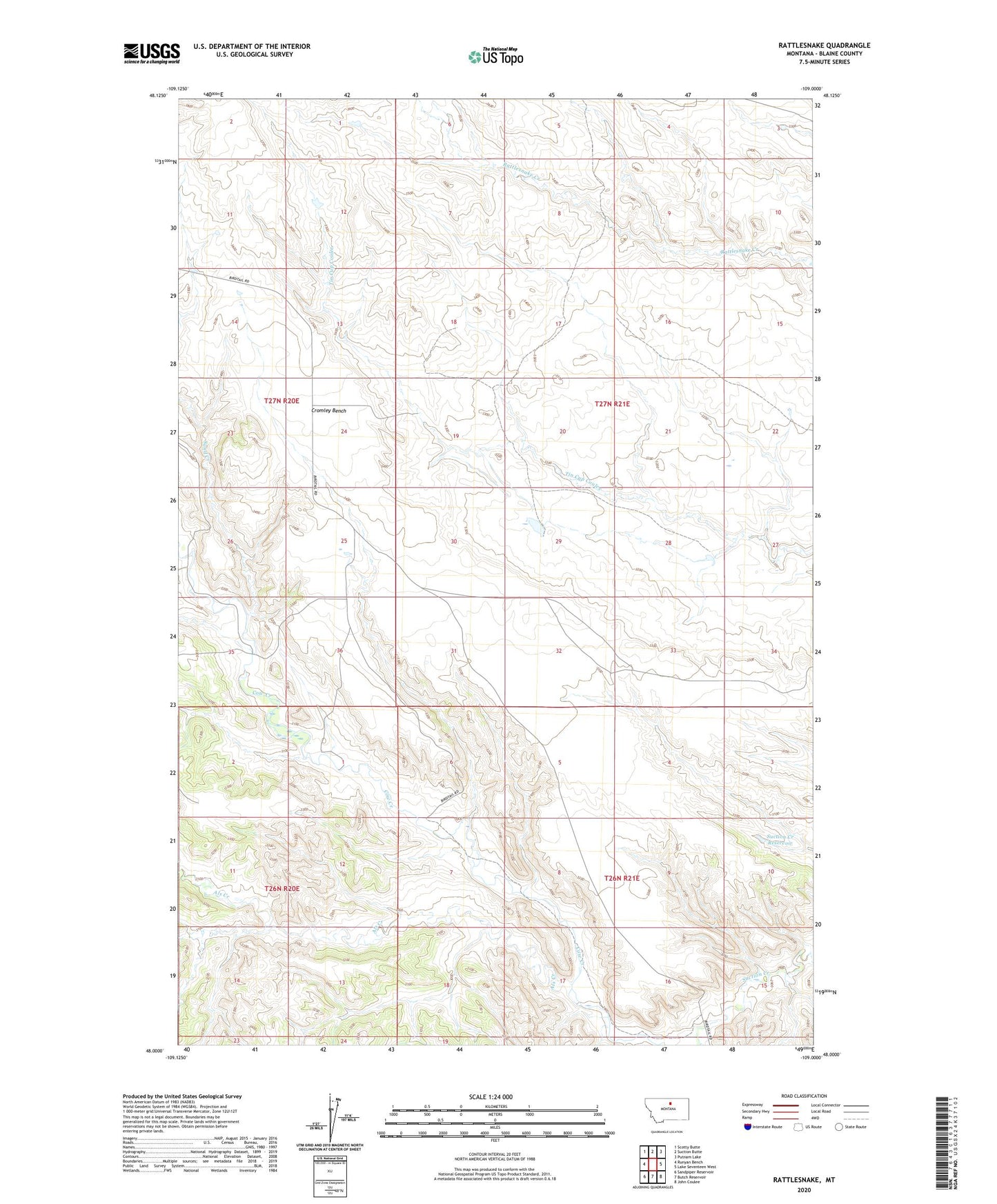
2024 topographic map quadrangle Rattlesnake in the state of Montana. Scale: 1:24000. Based on the newly updated USGS 7.5' US Topo map series, this map is in the following counties: Blaine. The map contains contour data, water features, and other items you are used to seeing on USGS maps, but also has updated roads and other features. This is the next generation of topographic maps. Printed on high-quality waterproof paper with UV fade-resistant inks.
Quads adjacent to this one:
West: Runyan Bench
Northwest: Scotty Butte
North: Suction Butte
Northeast: Putnam Lake
East: Lake Seventeen West
Southeast: John Coulee
South: Butch Reservoir
Southwest: Sandpiper Reservoir
This map covers the same area as the classic USGS quad with code o48109a1.
Contains the following named places: 27N21E15AABB01 Well, Als Creek, Coal Mine Coulee, Cromley Bench, Powell Number 1 Dam, Powell Number 2 Dam, Rattlesnake, Rattlesnake Post Office, Rattlesnake School, Sand Creek, Spring Coulee, Suction Creek Reservoir