MyTopo
Swift Reservoir Montana US Topo Map
Couldn't load pickup availability
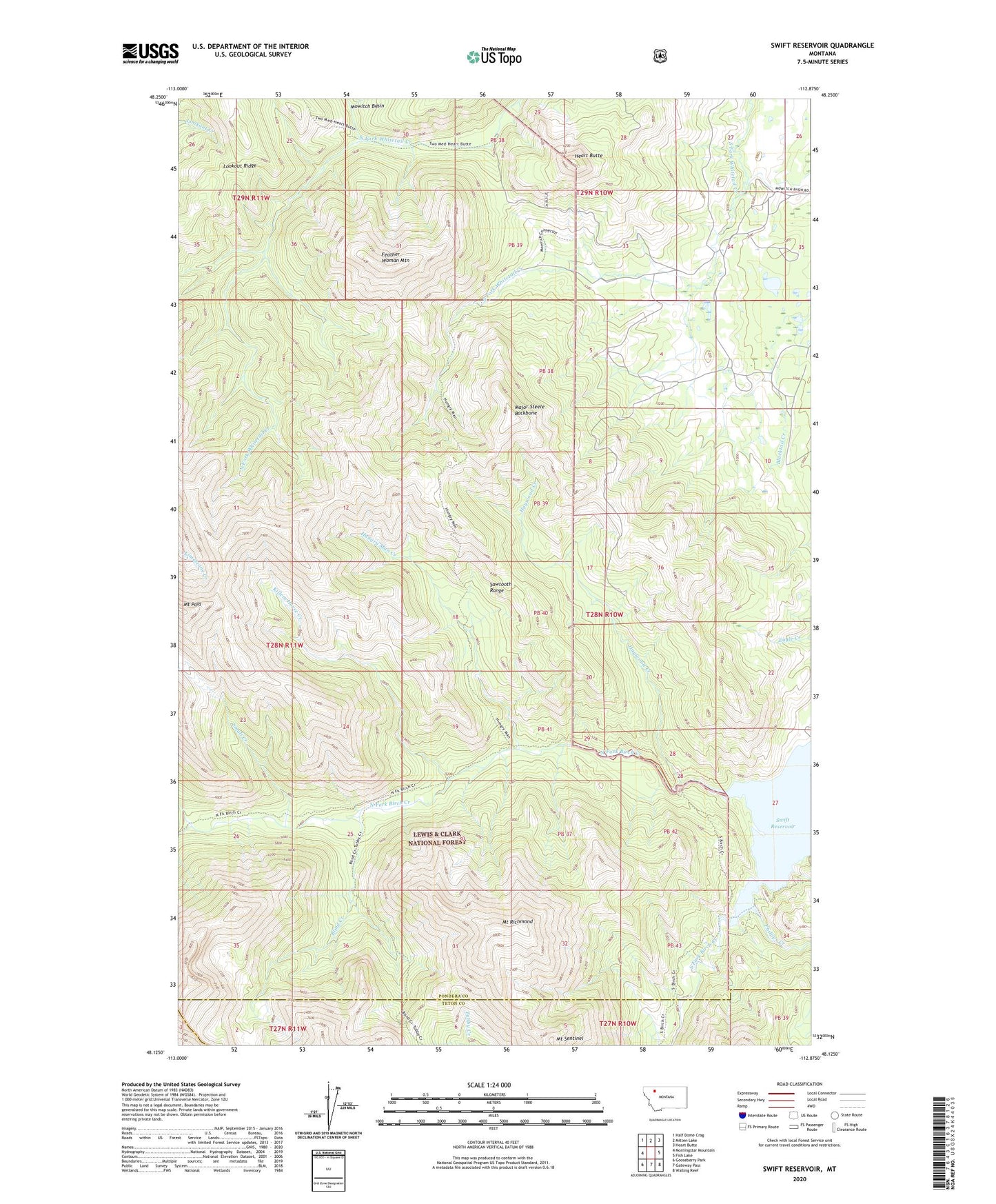
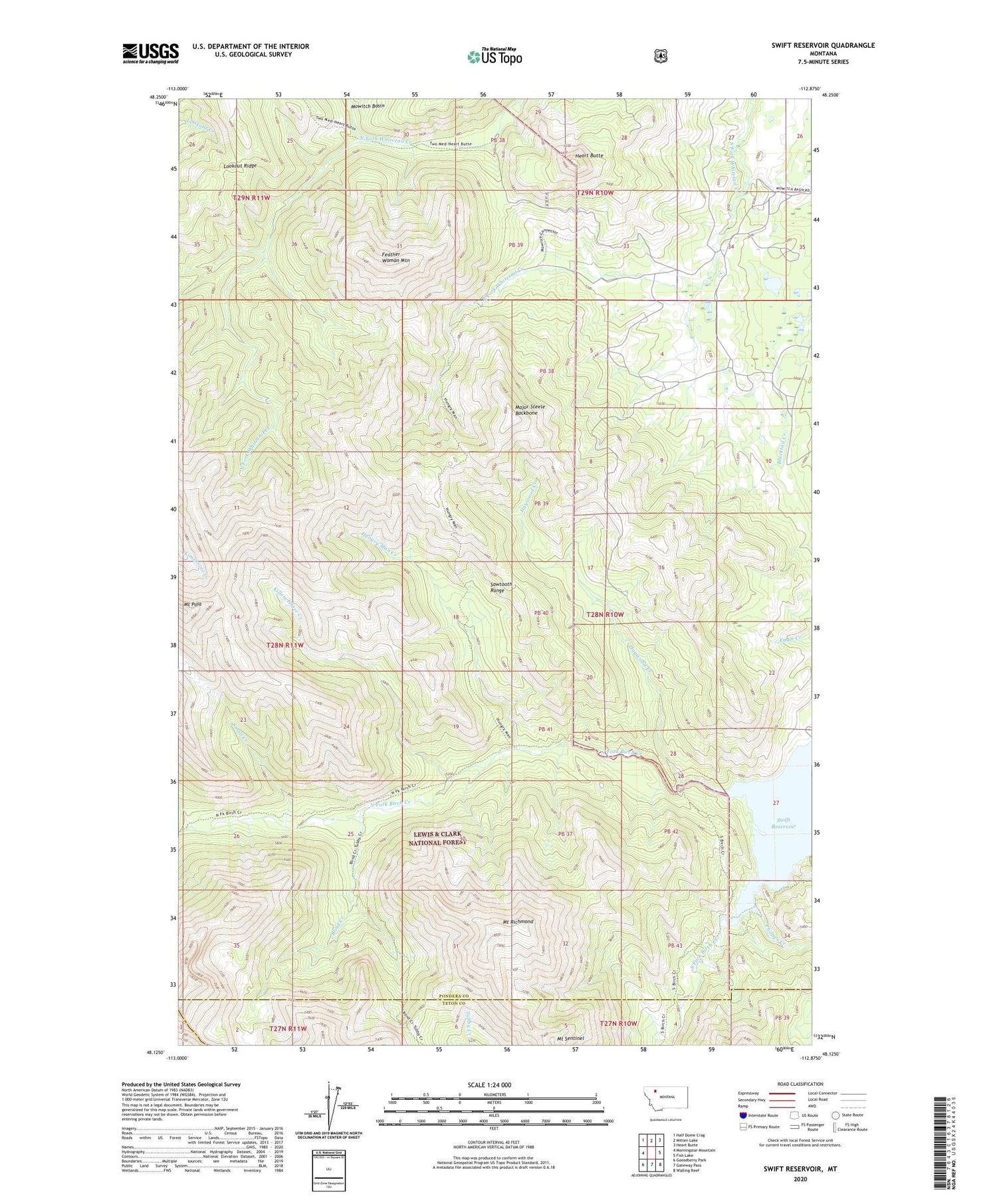
2020 topographic map quadrangle Swift Reservoir in the state of Montana. Scale: 1:24000. Based on the newly updated USGS 7.5' US Topo map series, this map is in the following counties: Pondera, Teton, Flathead. The map contains contour data, water features, and other items you are used to seeing on USGS maps, but also has updated roads and other features. This is the next generation of topographic maps. Printed on high-quality waterproof paper with UV fade-resistant inks.
Quads adjacent to this one:
West: Morningstar Mountain
Northwest: Half Dome Crag
North: Mitten Lake
Northeast: Heart Butte
East: Fish Lake
Southeast: Walling Reef
South: Gateway Pass
Southwest: Gooseberry Park
Contains the following named places: 28N10W22DDCA01 Spring, Blind Creek, Feather Woman Mountain, Haywood Creek, Heart Butte, Hungry Man Creek, Killem Horse Creek, Major Steele Backbone, Mount Poia, Mount Richmond, Mount Sentinel, North Fork Birch Creek, Phillips Creek, Small Creek, South Fork Birch Creek, Steep Creek, Swift Dike, Swift Reservoir