MyTopo
T L Gap Montana US Topo Map
Regular price
$16.95
Regular price
Sale price
$16.95
Unit price
per
Couldn't load pickup availability
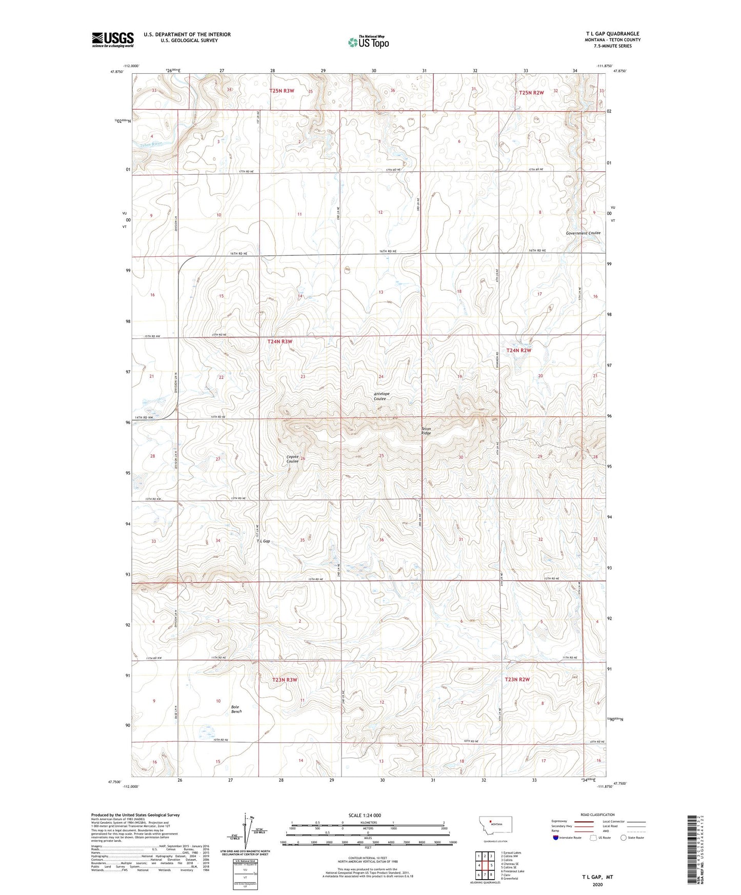
2020 topographic map quadrangle T L Gap in the state of Montana. Scale: 1:24000. Based on the newly updated USGS 7.5' US Topo map series, this map is in the following counties: Teton. The map contains contour data, water features, and other items you are used to seeing on USGS maps, but also has updated roads and other features. This is the next generation of topographic maps. Printed on high-quality waterproof paper with UV fade-resistant inks.
Quads adjacent to this one:
West: Choteau SE
Northwest: Eyraud Lakes
North: Collins NW
Northeast: Collins
East: Collins SE
Southeast: Greenfield
South: Cleiv
Southwest: Freezeout Lake
Contains the following named places: 24N02W32ADC_01 Well, T L Gap