MyTopo
Choteau SE Montana US Topo Map
Couldn't load pickup availability
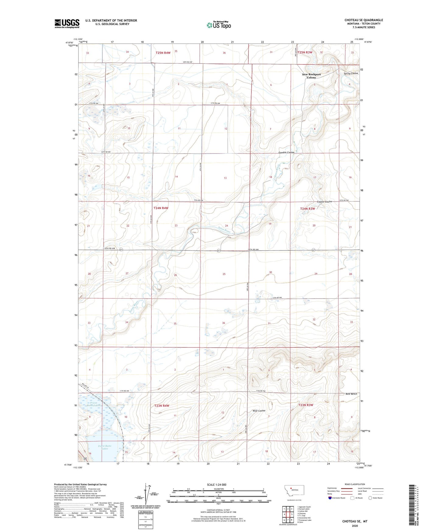
2024 topographic map quadrangle Choteau SE in the state of Montana. Scale: 1:24000. Based on the newly updated USGS 7.5' US Topo map series, this map is in the following counties: Teton. The map contains contour data, water features, and other items you are used to seeing on USGS maps, but also has updated roads and other features. This is the next generation of topographic maps. Printed on high-quality waterproof paper with UV fade-resistant inks.
Quads adjacent to this one:
West: Choteau
Northwest: Agawam South
North: Eyraud Lakes
Northeast: Collins NW
East: T L Gap
Southeast: Cleiv
South: Freezeout Lake
Southwest: Sevenmile Hill
This map covers the same area as the classic USGS quad with code o47112g1.
Contains the following named places: 24N04W02B___01 Well, 24N04W03C___01 Well, Coyote Coulee, Ferris Farms Dam, Freezout Lake Wildlife Management Area, Gamble Coulee, Hobson Spur, New Rockport Colony, New Rockport Colony Census Designated Place, New Rockport Colony School, Priest Butte Lakes, Spring Coulee