MyTopo
Ten O'Clock Gate Montana US Topo Map
Couldn't load pickup availability
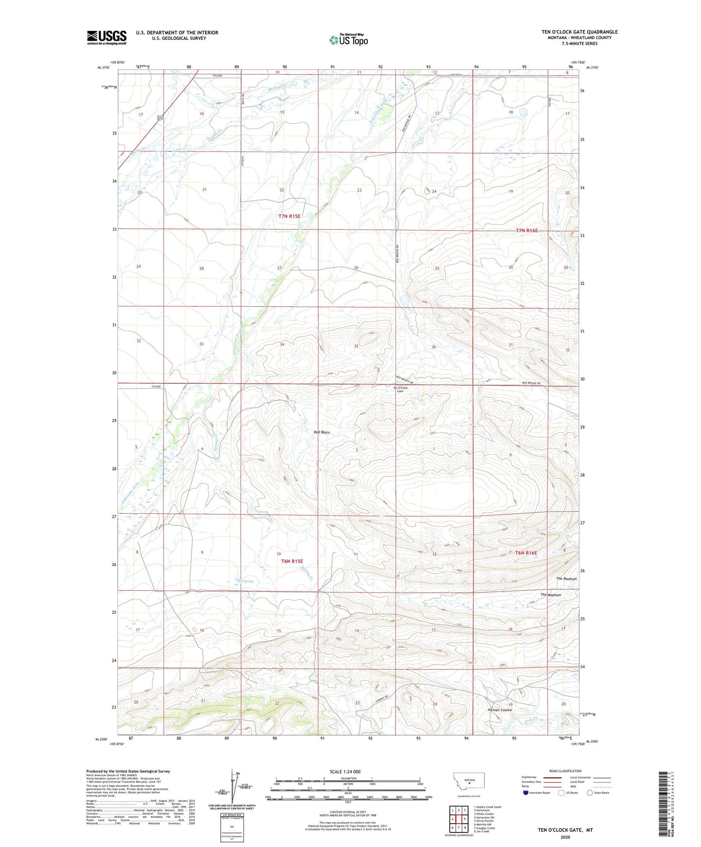
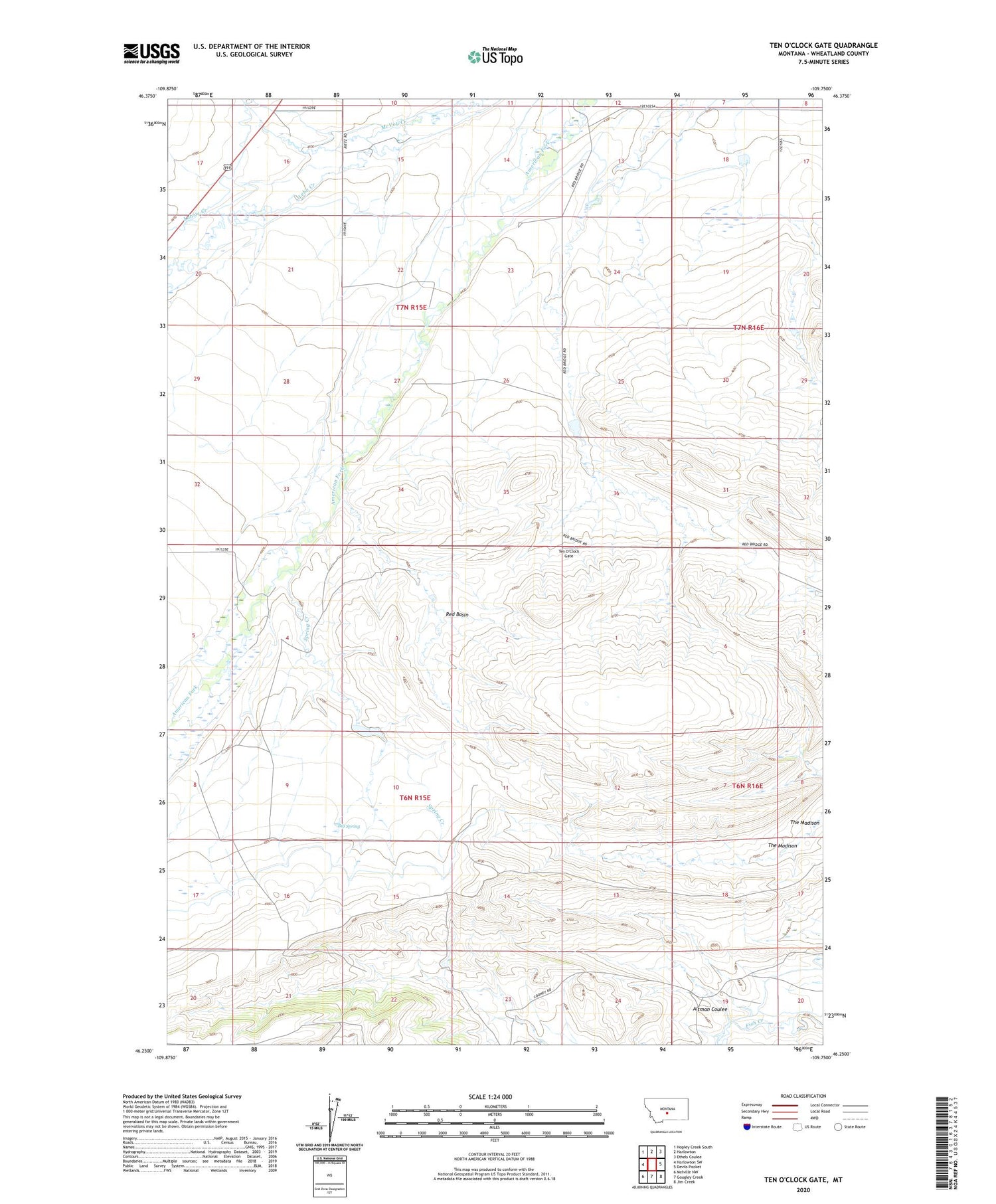
2024 topographic map quadrangle Ten O'Clock Gate in the state of Montana. Scale: 1:24000. Based on the newly updated USGS 7.5' US Topo map series, this map is in the following counties: Wheatland. The map contains contour data, water features, and other items you are used to seeing on USGS maps, but also has updated roads and other features. This is the next generation of topographic maps. Printed on high-quality waterproof paper with UV fade-resistant inks.
Quads adjacent to this one:
West: Harlowton SW
Northwest: Hopley Creek South
North: Harlowton
Northeast: Ethels Coulee
East: Devils Pocket
Southeast: Jim Creek
South: Gougley Creek
Southwest: Melville NW
This map covers the same area as the classic USGS quad with code o46109c7.
Contains the following named places: 07N15E32____01 Well, 08N15E35BDDD01 Well, Altman Coulee, Baxter Strip, Big Spring, Cinnamon Number 1 Dam, Cinnamon Number 3 Dam, Cinnamon Number 4 Dam, Labrie Creek, McVey Creek, Red Basin, Spring Creek, Ten O'Clock Gate, The Madison