MyTopo
Tepee Butte Montana US Topo Map
Couldn't load pickup availability
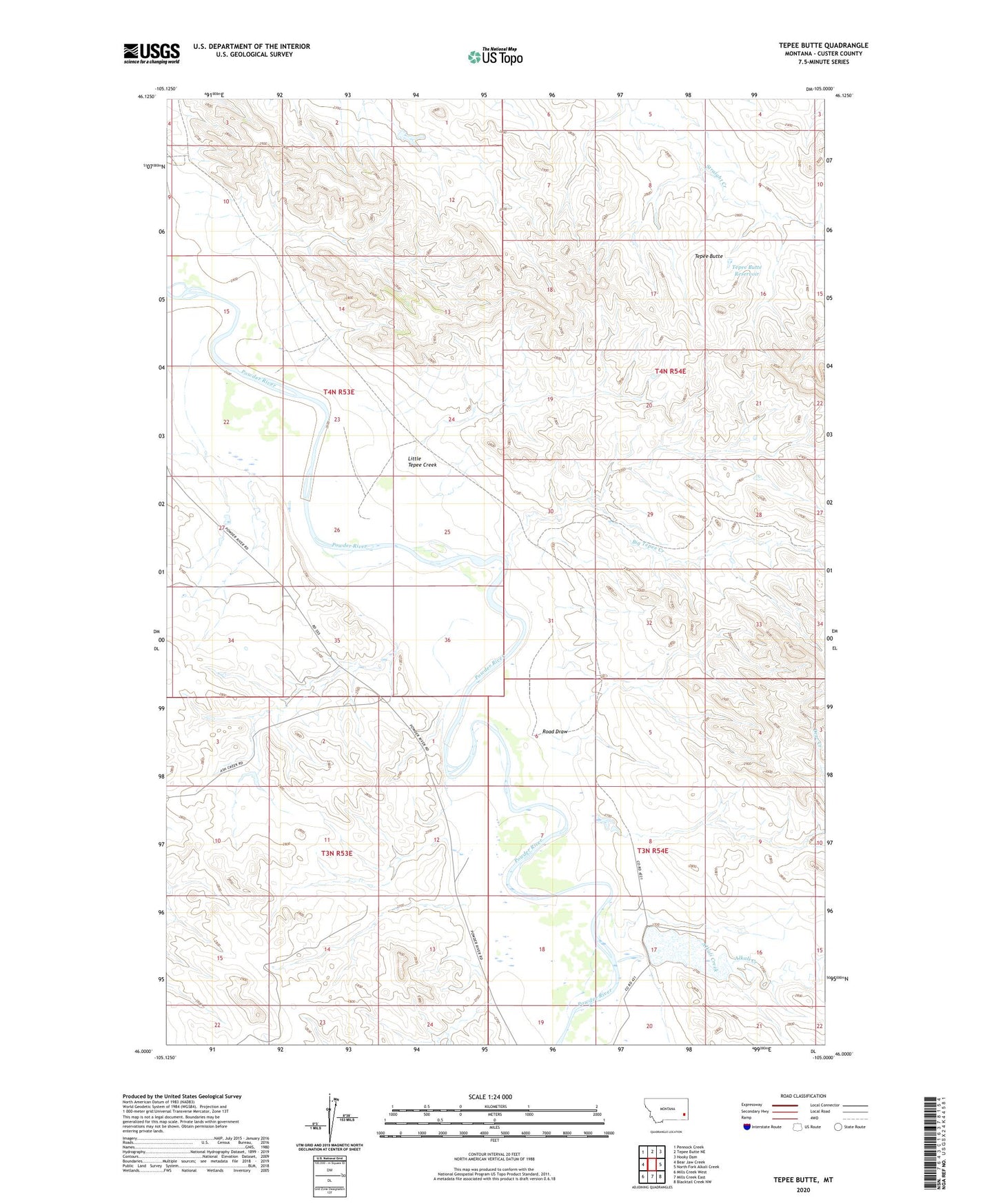
2024 topographic map quadrangle Tepee Butte in the state of Montana. Scale: 1:24000. Based on the newly updated USGS 7.5' US Topo map series, this map is in the following counties: Custer. The map contains contour data, water features, and other items you are used to seeing on USGS maps, but also has updated roads and other features. This is the next generation of topographic maps. Printed on high-quality waterproof paper with UV fade-resistant inks.
Quads adjacent to this one:
West: Bear Jaw Creek
Northwest: Pennock Creek
North: Tepee Butte NE
Northeast: Hooky Dam
East: North Fork Alkali Creek
Southeast: Blacktail Creek NW
South: Mills Creek East
Southwest: Mills Creek West
This map covers the same area as the classic USGS quad with code o46105a1.
Contains the following named places: 03N53E12ACC_01 Well, 03N53E14CBCB01 Well, 03N54E07CDB_01 Well, 03N54E33DAA_01 Well, 04N53E10CCC_01 Well, 04N53E15ACA_01 Well, 04N53E26ACC_01 Well, 04N54E17ACA_01 Well, Alkali Creek, Big Tepee Creek, Campbell Ranch, Cattle Dam, Deer Creek, Denny School, H M Scott Number 1 Dam, Kimball, Kimball Post Office, Kohones Ranch, Little Tepee Creek, Road Draw, Tepee Butte, Tepee Butte Reservoir, W E Scott Number 1 Dam