MyTopo
Turtle Creek Montana US Topo Map
Couldn't load pickup availability
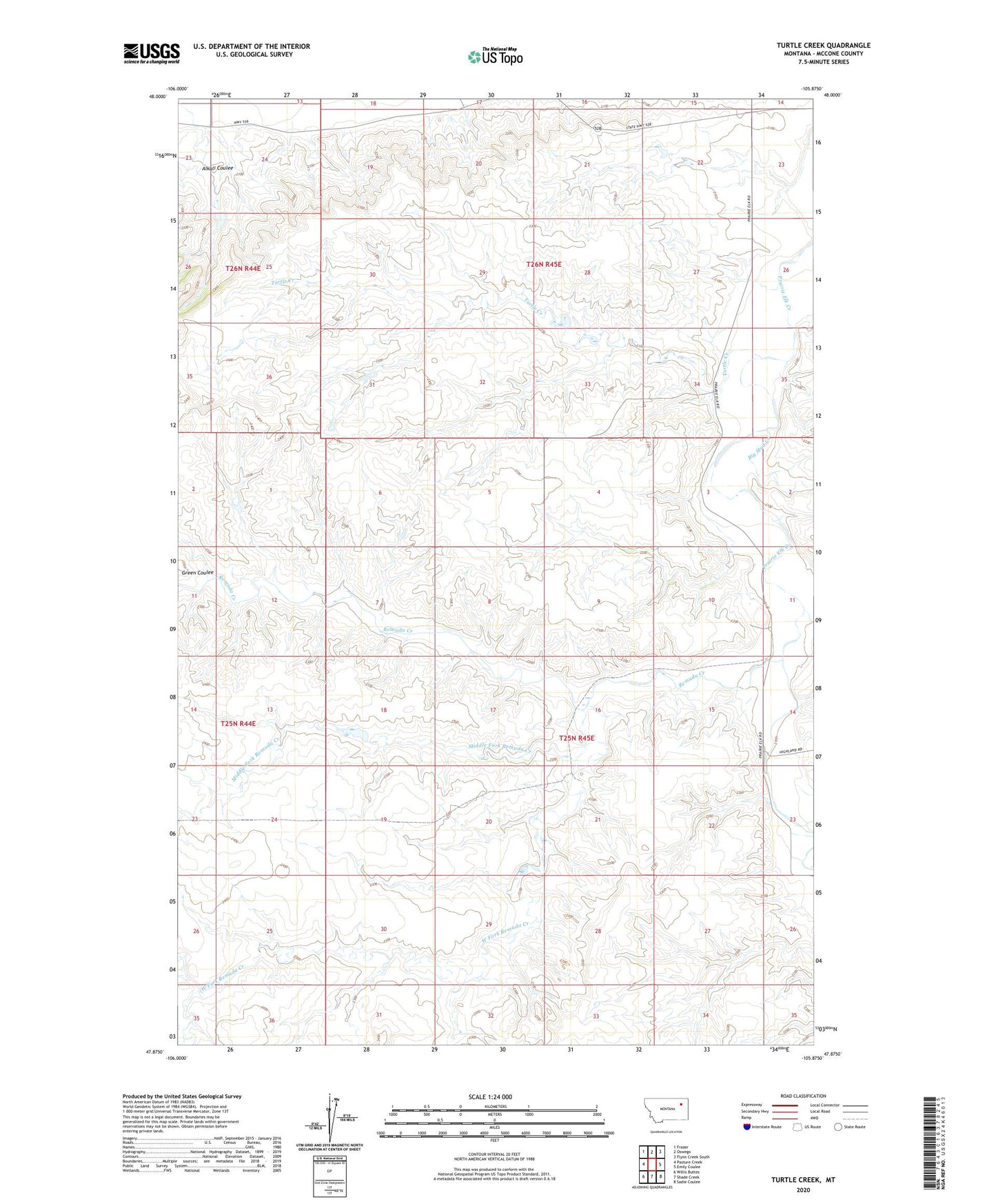
2024 topographic map quadrangle Turtle Creek in the state of Montana. Scale: 1:24000. Based on the newly updated USGS 7.5' US Topo map series, this map is in the following counties: McCone. The map contains contour data, water features, and other items you are used to seeing on USGS maps, but also has updated roads and other features. This is the next generation of topographic maps. Printed on high-quality waterproof paper with UV fade-resistant inks.
Quads adjacent to this one:
West: Pasture Creek
Northwest: Frazer
North: Oswego
Northeast: Flynn Creek South
East: Emily Coulee
Southeast: Sadie Coulee
South: Shade Creek
Southwest: Willis Buttes
This map covers the same area as the classic USGS quad with code o47105h8.
Contains the following named places: 25N45E09ABBB01 Well, 26N44E23AA__01 Well, 26N45E34AAAD01 Well, Alkali Coulee, Big Mud Creek, Four Corners, Green Coulee, Middle Fork Remuda Creek, Nina Post Office, Remuda Creek, Turner School, Turtle Creek, West Fork Remuda Creek