
MyTopo
Wagon Coulee Montana US Topo Map
Couldn't load pickup availability
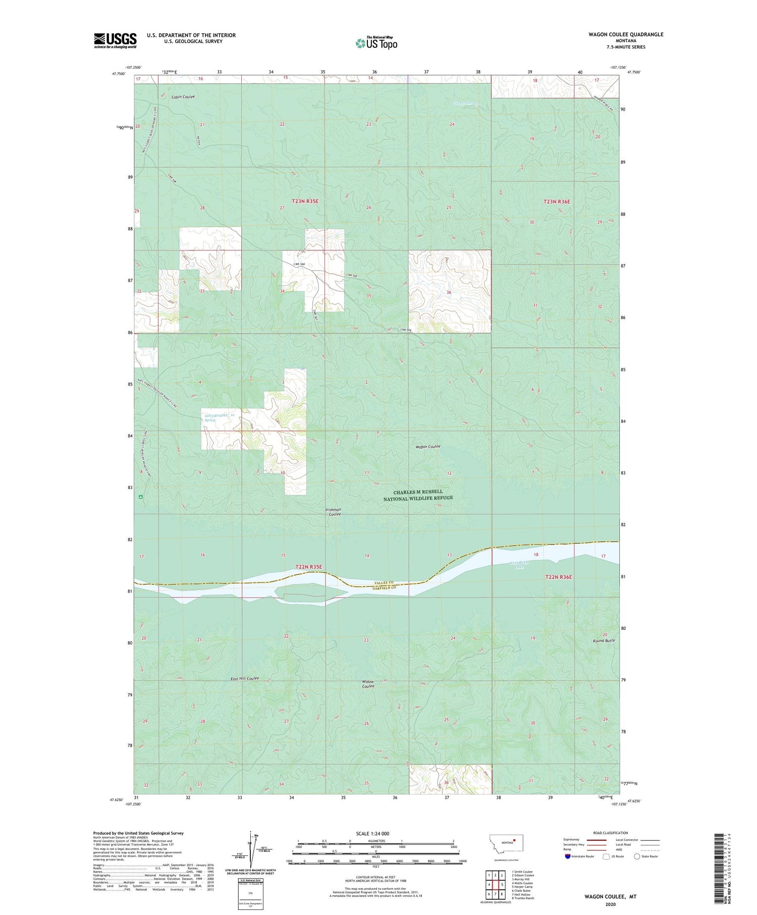
2020 topographic map quadrangle Wagon Coulee in the state of Montana. Scale: 1:24000. Based on the newly updated USGS 7.5' US Topo map series, this map is in the following counties: Valley, Garfield. The map contains contour data, water features, and other items you are used to seeing on USGS maps, but also has updated roads and other features. This is the next generation of topographic maps. Printed on high-quality waterproof paper with UV fade-resistant inks.
Quads adjacent to this one:
West: Wolfe Coulee
Northwest: Smith Coulee
North: Gibson Coulee
Northeast: Murray Hill
East: Harper Camp
Southeast: Trumbo Ranch
South: Hell Hollow
Southwest: Chalk Butte
Contains the following named places: 22N35E04DCC_01 Spring, Bone Trail Recreation Area, Carpenter Creek Dam, East Hill Coulee, Faranuf Post Office, Faranuf Ranch, Irishman Coulee, Round Butte, Round Butte Post Office, Wagon Coulee, Widow Coulee


