MyTopo
Warrick Montana US Topo Map
Couldn't load pickup availability
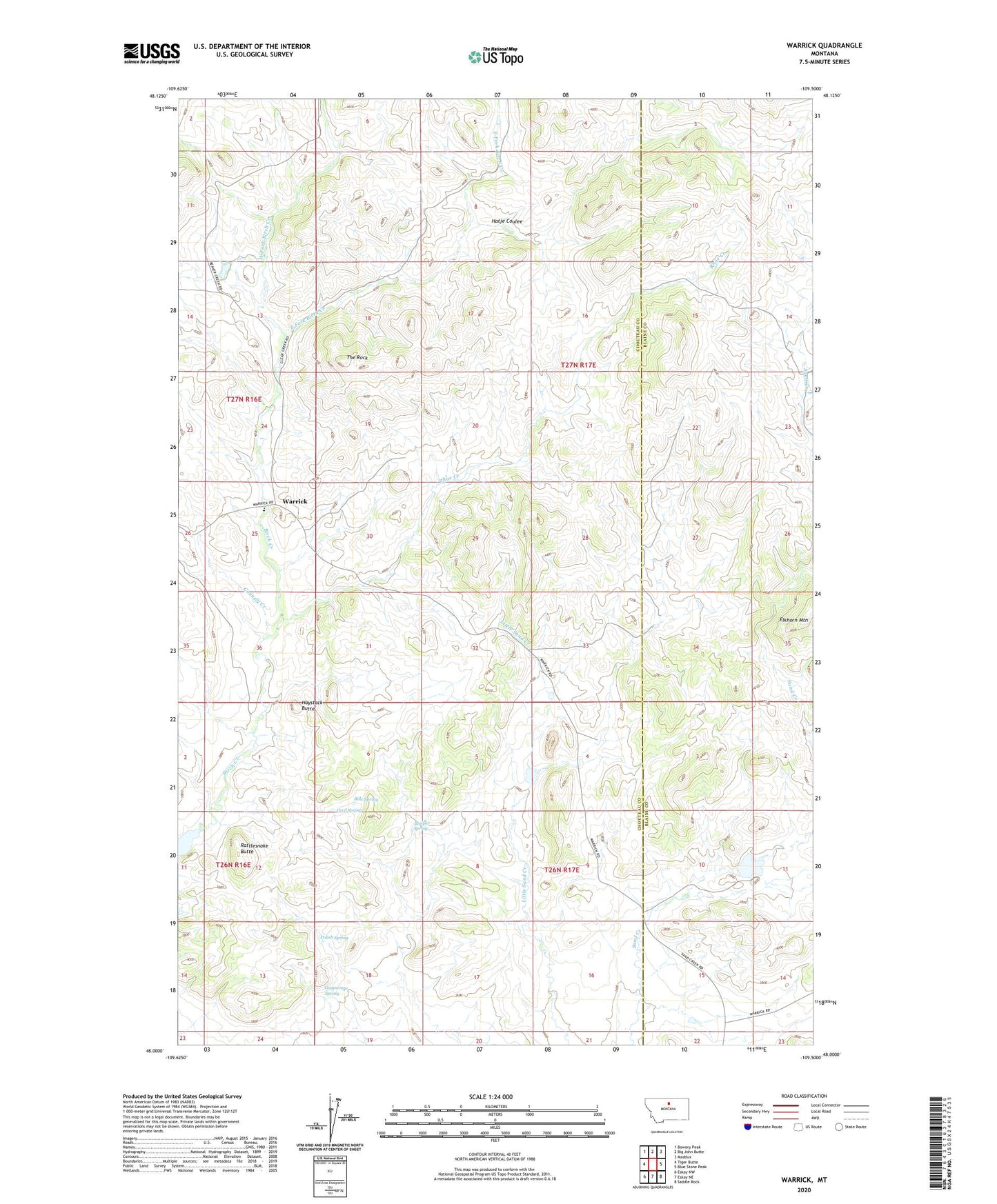
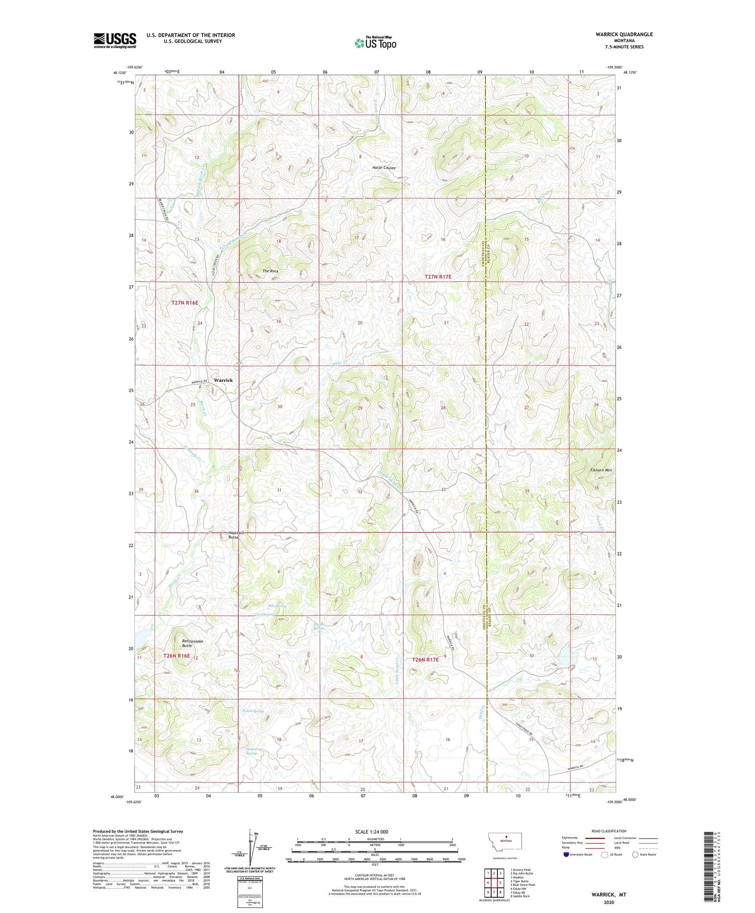
2020 topographic map quadrangle Warrick in the state of Montana. Scale: 1:24000. Based on the newly updated USGS 7.5' US Topo map series, this map is in the following counties: Chouteau, Blaine. The map contains contour data, water features, and other items you are used to seeing on USGS maps, but also has updated roads and other features. This is the next generation of topographic maps. Printed on high-quality waterproof paper with UV fade-resistant inks.
Quads adjacent to this one:
West: Tiger Butte
Northwest: Bowery Peak
North: Big John Butte
Northeast: Maddux
East: Blue Stone Peak
Southeast: Saddle Rock
South: Eskay NE
Southwest: Eskay NW
Contains the following named places: Bills Spring, Cecil Spring, Connely Creek, Dies Irae Dam, East Fork Birch Creek, Gasparage Spring, Gerald Kane Dam, Hatje Coulee, Haystack Butte, Juniper Spring, Paddle Board Dam, Polish Spring, Rattlesnake Butte, Rhue Creek, The Rock, Warrick, Warrick Post Office, Warrick School, West Fork Birch Creek