MyTopo
Saddle Rock Montana US Topo Map
Couldn't load pickup availability
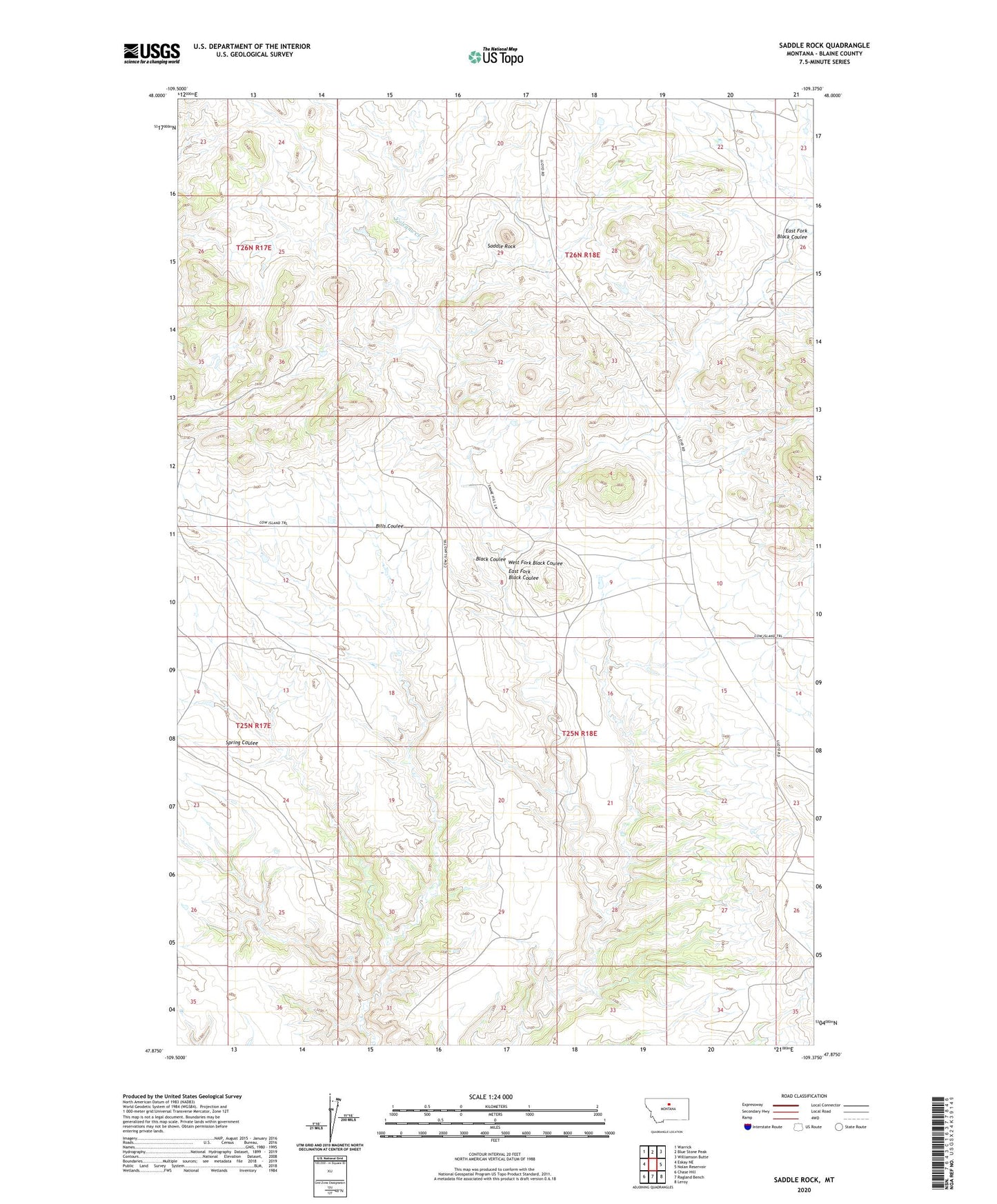
2024 topographic map quadrangle Saddle Rock in the state of Montana. Scale: 1:24000. Based on the newly updated USGS 7.5' US Topo map series, this map is in the following counties: Blaine. The map contains contour data, water features, and other items you are used to seeing on USGS maps, but also has updated roads and other features. This is the next generation of topographic maps. Printed on high-quality waterproof paper with UV fade-resistant inks.
Quads adjacent to this one:
West: Eskay NE
Northwest: Warrick
North: Blue Stone Peak
Northeast: Williamson Butte
East: Nolan Reservoir
Southeast: Leroy
South: Ragland Bench
Southwest: Chase Hill
This map covers the same area as the classic USGS quad with code o47109h4.
Contains the following named places: Black Coulee School, East Fork Black Coulee, Saddle Rock, Sour Dough Flat, Spring Coulee, Volcano Creek, West Fork Black Coulee