MyTopo
Whetstone Ridge Montana US Topo Map
Couldn't load pickup availability
Also explore the Whetstone Ridge Forest Service Topo of this same quad for updated USFS data
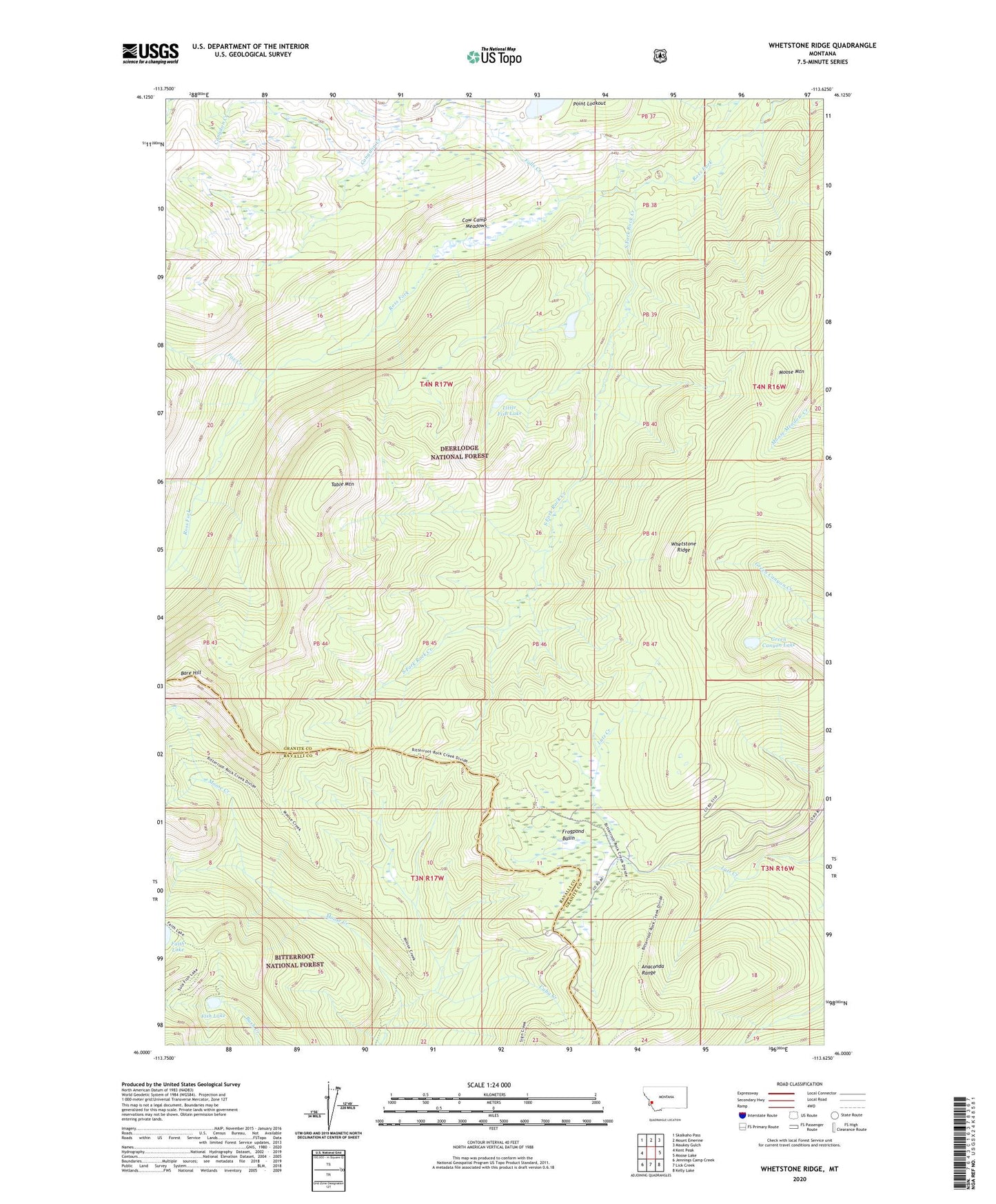
2024 topographic map quadrangle Whetstone Ridge in the state of Montana. Scale: 1:24000. Based on the newly updated USGS 7.5' US Topo map series, this map is in the following counties: Granite, Ravalli. The map contains contour data, water features, and other items you are used to seeing on USGS maps, but also has updated roads and other features. This is the next generation of topographic maps. Printed on high-quality waterproof paper with UV fade-resistant inks.
Quads adjacent to this one:
West: Kent Peak
Northwest: Skalkaho Pass
North: Mount Emerine
Northeast: Maukey Gulch
East: Moose Lake
Southeast: Kelly Lake
South: Lick Creek
Southwest: Jennings Camp Creek
This map covers the same area as the classic USGS quad with code o46113a6.
Contains the following named places: Bare Hill, Cow Camp Meadows, Cuba Creek, Faith Lake, Falls Creek, Fish Lake, Fox Creek, Frogpond Basin, Green Canyon Lake, Kent Mine, Little Fish Lake, Lutz Mine, Miller Mine, Millers Mine, Montana Prince Mine, Moose Mountain, NE SE Section 14 Mine, O'Brien Mine, Point Lookout, South Fork Rock Creek, Table Mountain, Whetstone Ridge