MyTopo
Wildcat Draw Montana US Topo Map
Couldn't load pickup availability
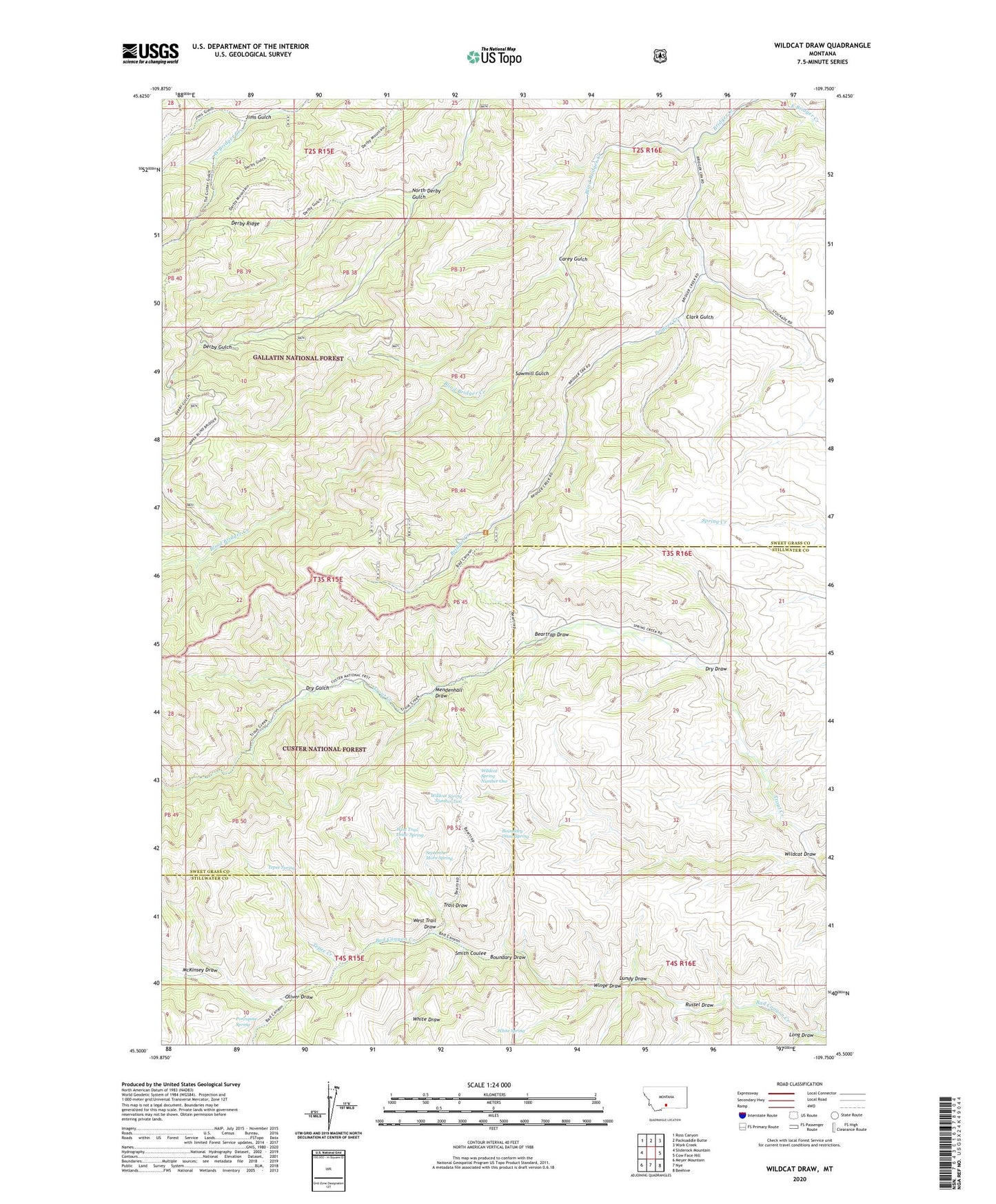
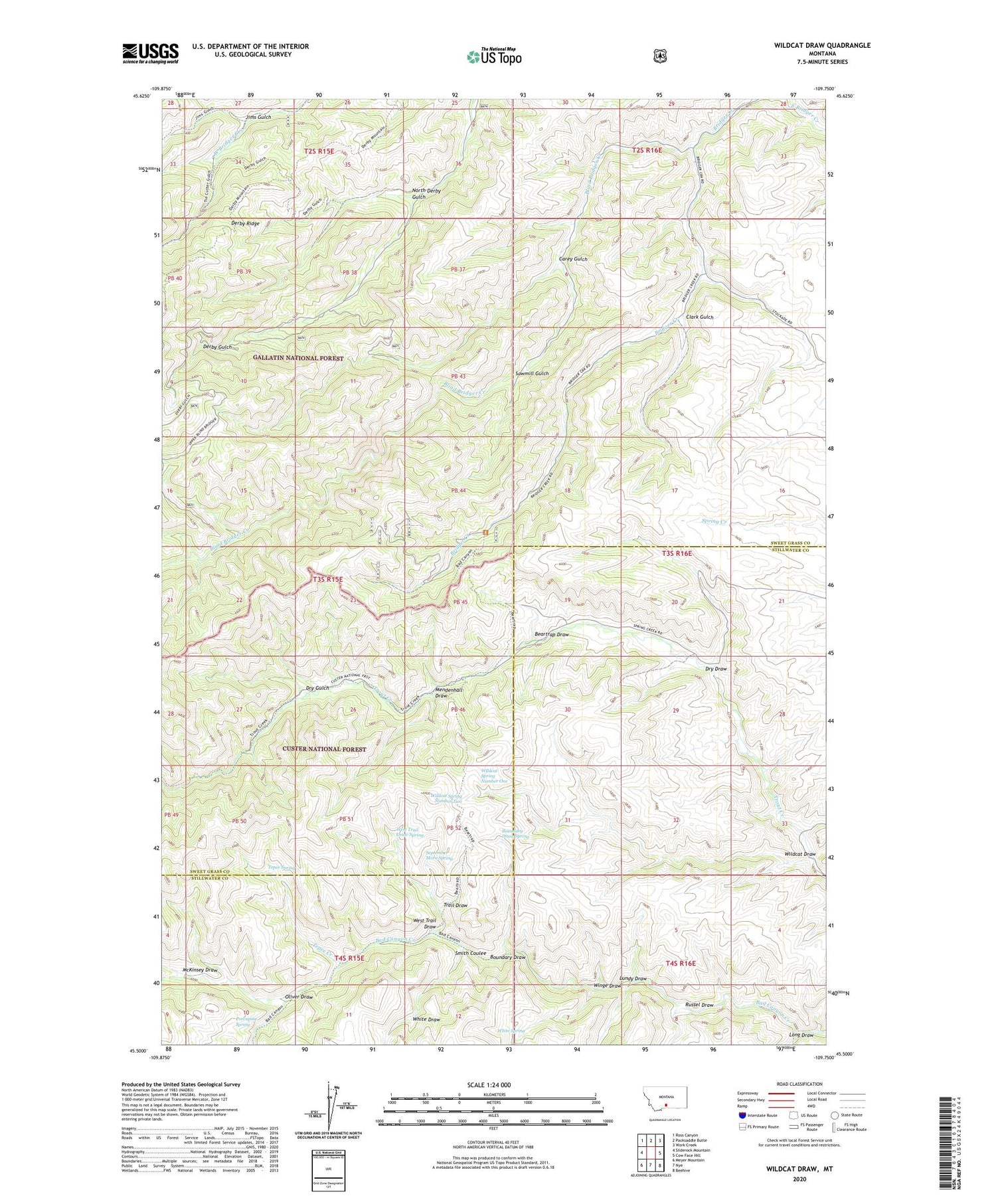
2020 topographic map quadrangle Wildcat Draw in the state of Montana. Scale: 1:24000. Based on the newly updated USGS 7.5' US Topo map series, this map is in the following counties: Sweet Grass, Stillwater. The map contains contour data, water features, and other items you are used to seeing on USGS maps, but also has updated roads and other features. This is the next generation of topographic maps. Printed on high-quality waterproof paper with UV fade-resistant inks.
Quads adjacent to this one:
West: Sliderock Mountain
Northwest: Ross Canyon
North: Packsaddle Butte
Northeast: Work Creek
East: Cow Face Hill
Southeast: Beehive
South: Nye
Southwest: Meyer Mountain
Contains the following named places: 03S16E09DACC01 Well, Beartrap Draw, Blind Bridger Creek, Boundary Draw, Boundary Draw Spring, Carey Gulch, Clark Gulch, Dry Draw, Dry Gulch, Hookum Cow Cabin, Jims Gulch, Long Draw, Lundy Draw, McKinsey Draw, McKinsey Spring, Mendenhall Draw, North Derby Gulch, Oliver Draw, Porcupine Spring, Russel Draw, Sawmill Gulch, September Morn Spring, Smith Coulee, Tepee Creek, Tepee Spring, Trail Draw, West Trail Draw, West Trail Draw Spring, White Draw, White Spring, Wildcat Draw, Wildcat Spring Number One, Wildcat Spring Number Two, Winge Draw, Yates Cabin