MyTopo
Ross Canyon Montana US Topo Map
Couldn't load pickup availability
Also explore the Ross Canyon Forest Service Topo of this same quad for updated USFS data
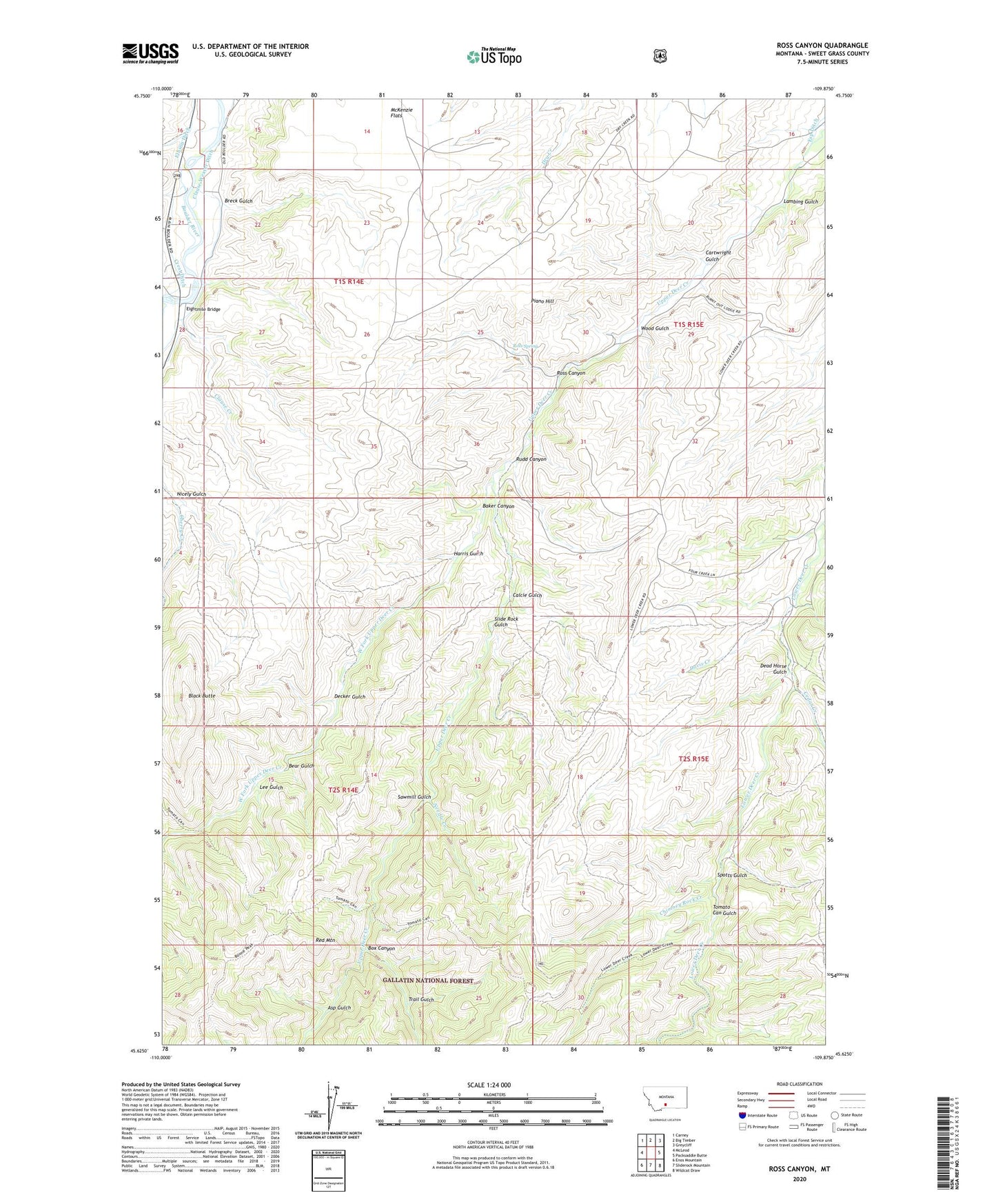
2024 topographic map quadrangle Ross Canyon in the state of Montana. Scale: 1:24000. Based on the newly updated USGS 7.5' US Topo map series, this map is in the following counties: Sweet Grass. The map contains contour data, water features, and other items you are used to seeing on USGS maps, but also has updated roads and other features. This is the next generation of topographic maps. Printed on high-quality waterproof paper with UV fade-resistant inks.
Quads adjacent to this one:
West: McLeod
Northwest: Carney
North: Big Timber
Northeast: Greycliff
East: Packsaddle Butte
Southeast: Wildcat Draw
South: Sliderock Mountain
Southwest: Enos Mountain
This map covers the same area as the classic USGS quad with code o45109f8.
Contains the following named places: 01S14E21AABB01 Well, 01S14E21AADD01 Well, 01S14E21ACAD01 Well, 01S14E28AAAD01 Well, Asp Gulch, Baker Canyon, Bear Gulch, Black Butte, Box Canyon, Breck Gulch, Calcie Gulch, Cartwright Gulch, Cedar Creek, Chimney Rock Creek, Clause Creek, Crest Ditch, Davis Creek, Dead Horse Gulch, Decker Gulch, Eightmile Bridge, Harris Gulch, Lambing Gulch, Lee Gulch, Log Cabin Creek, McKenzie Flats, Needle Creek, Nicely Gulch, Piano Hill, Red Mountain, Ross Canyon, Ross Spring, Rudd Canyon, Sawmill Gulch, Slide Rock Gulch, Spotts Gulch, Tomato Can Gulch, Trail Gulch, West Fork Upper Deer Creek, Whistle Creek, Wood Gulch