MyTopo
Work Creek Montana US Topo Map
Couldn't load pickup availability
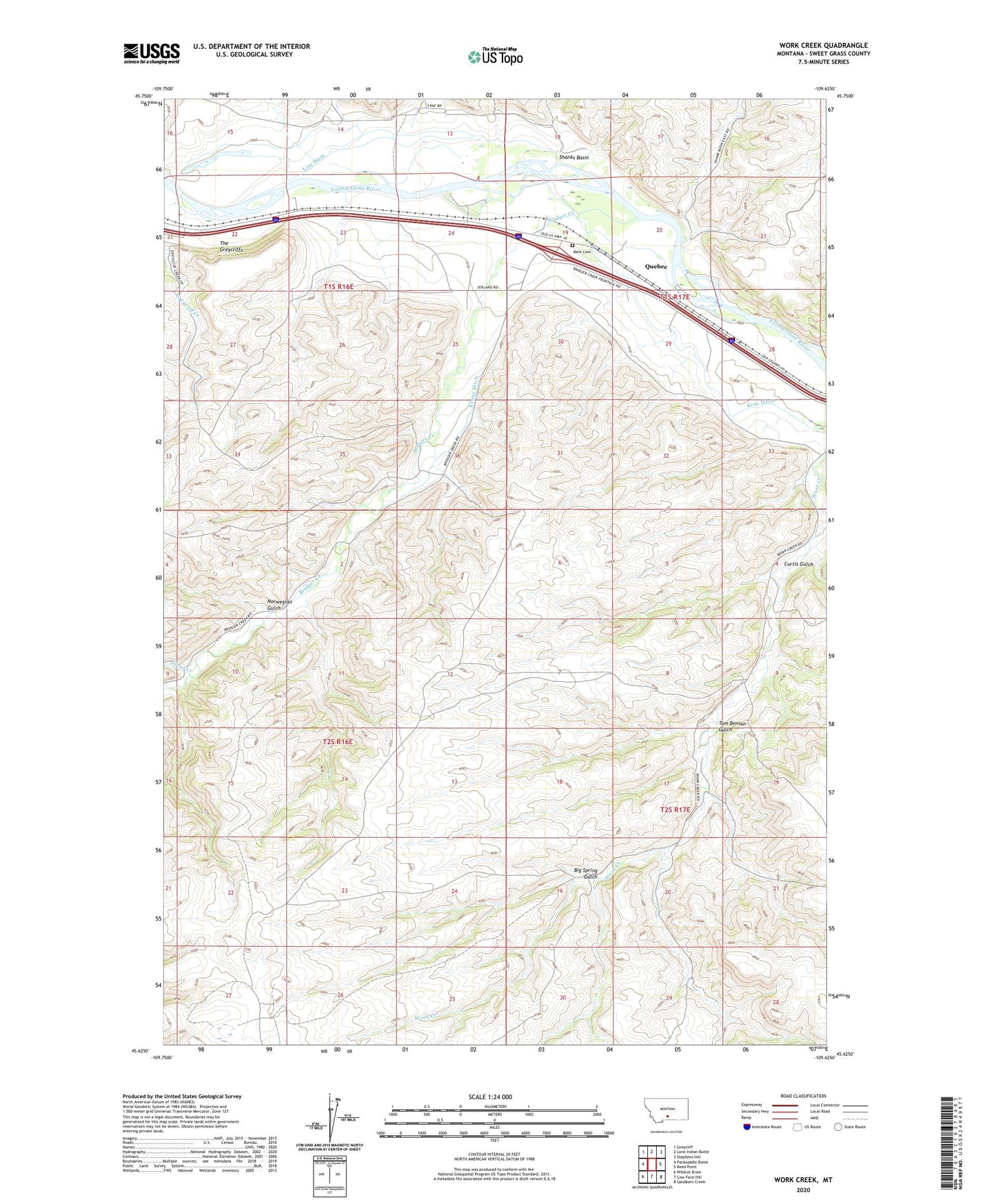
2024 topographic map quadrangle Work Creek in the state of Montana. Scale: 1:24000. Based on the newly updated USGS 7.5' US Topo map series, this map is in the following counties: Sweet Grass. The map contains contour data, water features, and other items you are used to seeing on USGS maps, but also has updated roads and other features. This is the next generation of topographic maps. Printed on high-quality waterproof paper with UV fade-resistant inks.
Quads adjacent to this one:
West: Packsaddle Butte
Northwest: Greycliff
North: Lone Indian Butte
Northeast: Stephens Hill
East: Reed Point
Southeast: Sandborn Creek
South: Cow Face Hill
Southwest: Wildcat Draw
This map covers the same area as the classic USGS quad with code o45109f6.
Contains the following named places: 01S16E22CBBA01 Well, 01S16E22CBBC01 Spring, 01S16E24AACC01 Well, 01S16E25____01 Well, 01S16E25AAAC01 Well, 01S16E36CBDA01 Well, 01S17E19BDCD01 Well, 01S17E20CBAA01 Well, 01S17E20CBAD01 Well, 01S17E20CBAD02 Well, 01S17E29BDDD01 Well, 01S17E33DACB01 Well, 02S16E10BACD01 Well, 02S16E12DCBA01 Well, 02S17E09BDAC01 Spring, 59033, Big Spring Gulch, Bozeman Trail, Bratten Fishing Access Site, Bridger Creek, Curtis Gulch, Greycliff Creek, Kent Cemetery, Kent Ditch, Kent School, Krone Ditch, Line Ditch, Norwegian Gulch, Pateum, Quebec, Shanks Basin, Silver Creek, The Greycliffs, Thomas Massacre Graves Historical, Tom Benson Gulch