MyTopo
Wyola NE Montana US Topo Map
Couldn't load pickup availability
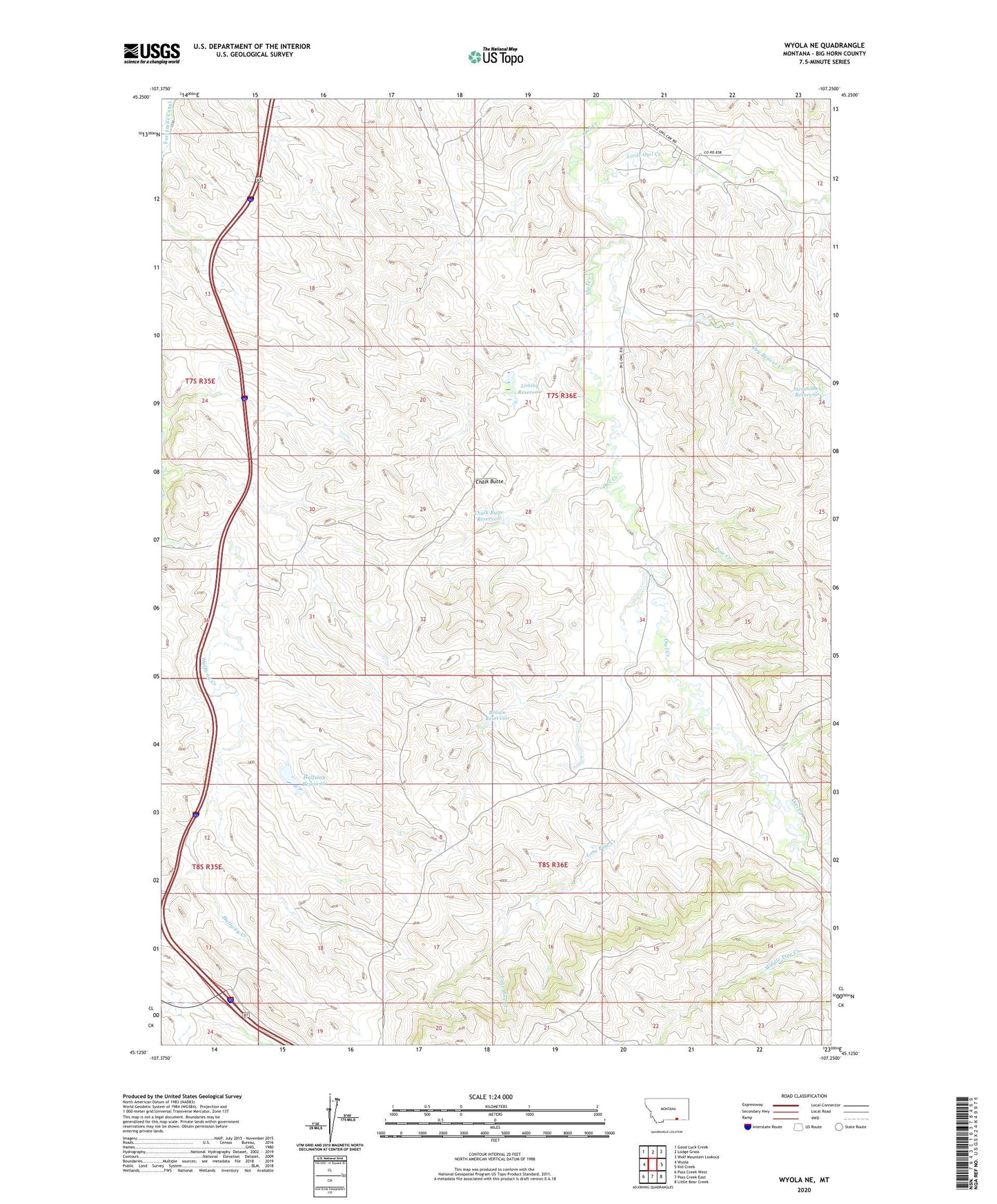
2020 topographic map quadrangle Wyola NE in the state of Montana. Scale: 1:24000. Based on the newly updated USGS 7.5' US Topo map series, this map is in the following counties: Big Horn. The map contains contour data, water features, and other items you are used to seeing on USGS maps, but also has updated roads and other features. This is the next generation of topographic maps. Printed on high-quality waterproof paper with UV fade-resistant inks.
Quads adjacent to this one:
West: Wyola
Northwest: Good Luck Creek
North: Lodge Grass
Northeast: Wolf Mountain Lookout
East: Kid Creek
Southeast: Little Bear Creek
South: Pass Creek East
Southwest: Pass Creek West
Contains the following named places: 07S35E36CBDB01 Well, Brown Ranch, Brown Reservoir, Brown School, Chalk Butte, Chalk Butte Reservoir, Crow Number 68 Dam, Dry Beaver Creek, H C Brown Number 1 Dam, Halfway Dam, Halfway Reservoir, Liming Reservoir, LIMING Reservoir Dam, Little Owl Creek, Lone Pine Creek, Pine Creek, Steinhelber Reservoir Dam, Steinhilber Reservoir