MyTopo
Wyola Montana US Topo Map
Couldn't load pickup availability
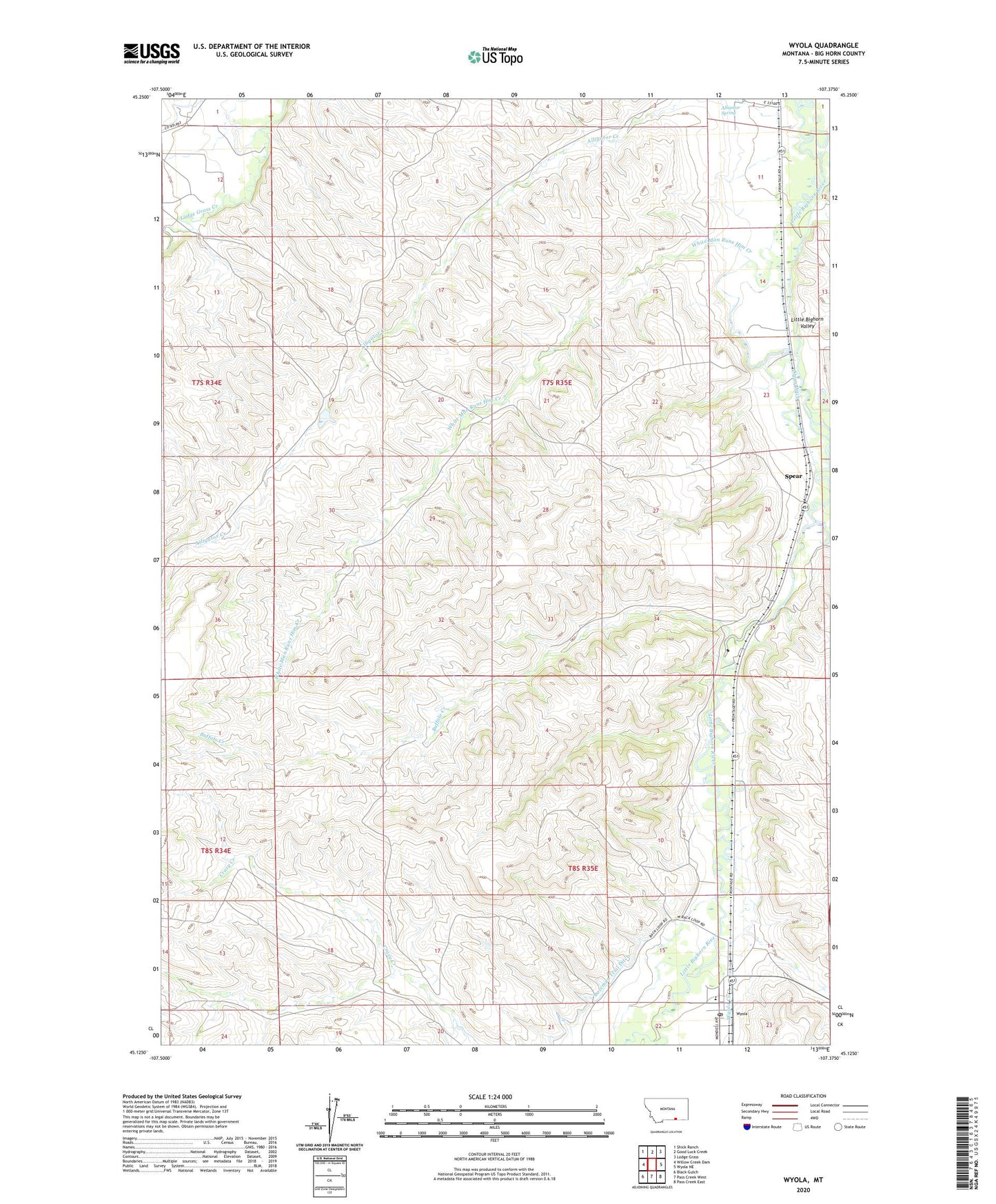
2024 topographic map quadrangle Wyola in the state of Montana. Scale: 1:24000. Based on the newly updated USGS 7.5' US Topo map series, this map is in the following counties: Big Horn. The map contains contour data, water features, and other items you are used to seeing on USGS maps, but also has updated roads and other features. This is the next generation of topographic maps. Printed on high-quality waterproof paper with UV fade-resistant inks.
Quads adjacent to this one:
West: Willow Creek Dam
Northwest: Shick Ranch
North: Good Luck Creek
Northeast: Lodge Grass
East: Wyola NE
Southeast: Pass Creek East
South: Pass Creek West
Southwest: Black Gulch
This map covers the same area as the classic USGS quad with code o45107b4.
Contains the following named places: 07S34E12ABBB01 Well, 07S34E12ABBB02 Well, 07S35E11ACAA01 Well, 07S35E11ACAA02 Well, 07S35E11ACAD01 Well, 07S35E11ADBA01 Well, 07S35E11DBCB01 Well, 07S35E11DCADO1 Well, 07S35E14ACC01_ Well, 07S35E23ABCC01 Well, 07S35E23BDDB01 Well, 07S35E26DAB_01 Well, 08S35E11BCAC01 Well, 08S35E14BCCB01 Well, 08S35E14BDBB01 Well, 08S35E15ACAA01 Well, 08S35E15DCDA01 Well, 08S35E15DDBD01 Well, Alligator Spring, Blessed Kateri Tekawitha Church, Buffalo Creek, Crow Number 69 Dam, Halfway Creek, Pass Creek, Sloan Ditch, Spear, White Man Runs Him Creek, Wyola, Wyola Baptist Church, Wyola Creek, Wyola Post Office, Wyola School