MyTopo
Altona Nebraska US Topo Map
Couldn't load pickup availability
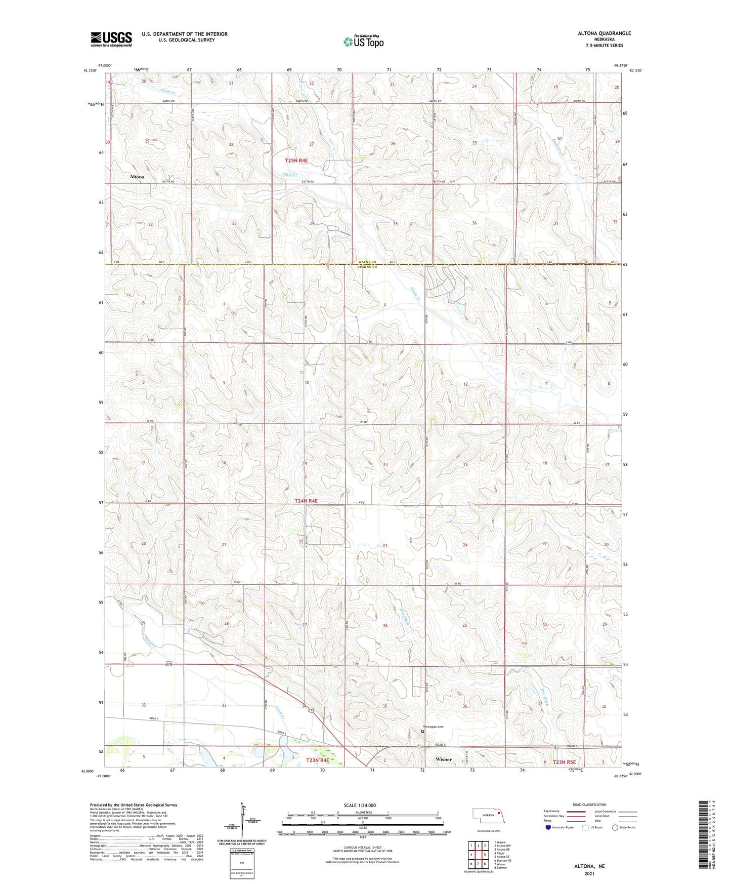
2021 topographic map quadrangle Altona in the state of Nebraska. Scale: 1:24000. Based on the newly updated USGS 7.5' US Topo map series, this map is in the following counties: Cuming, Wayne. The map contains contour data, water features, and other items you are used to seeing on USGS maps, but also has updated roads and other features. This is the next generation of topographic maps. Printed on high-quality waterproof paper with UV fade-resistant inks.
Quads adjacent to this one:
West: Pilger
Northwest: Wayne
North: Altona NW
Northeast: Altona NE
East: Altona SE
Southeast: Beemer
South: Wisner
Southwest: Stanton NE
This map covers the same area as the classic USGS quad with code o42096a8.
Contains the following named places: Altona, Altona Post Office, First Trinity Lutheran Church, First Trinity Lutheran School, Kane Creek, Norwegian Cemetery, School Number 16, School Number 17, School Number 24, School Number 25, School Number 32, School Number 40, School Number 43, School Number 49, Township of Blaine