MyTopo
Ashland West Nebraska US Topo Map
Couldn't load pickup availability
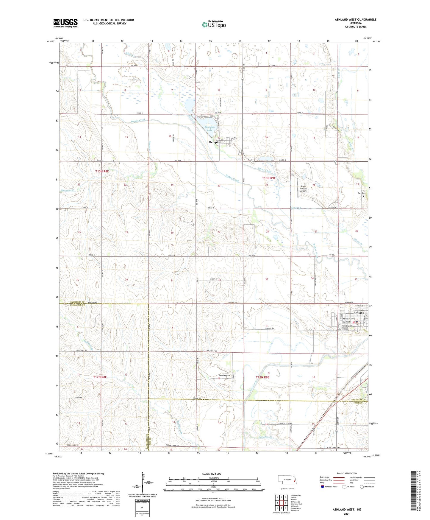
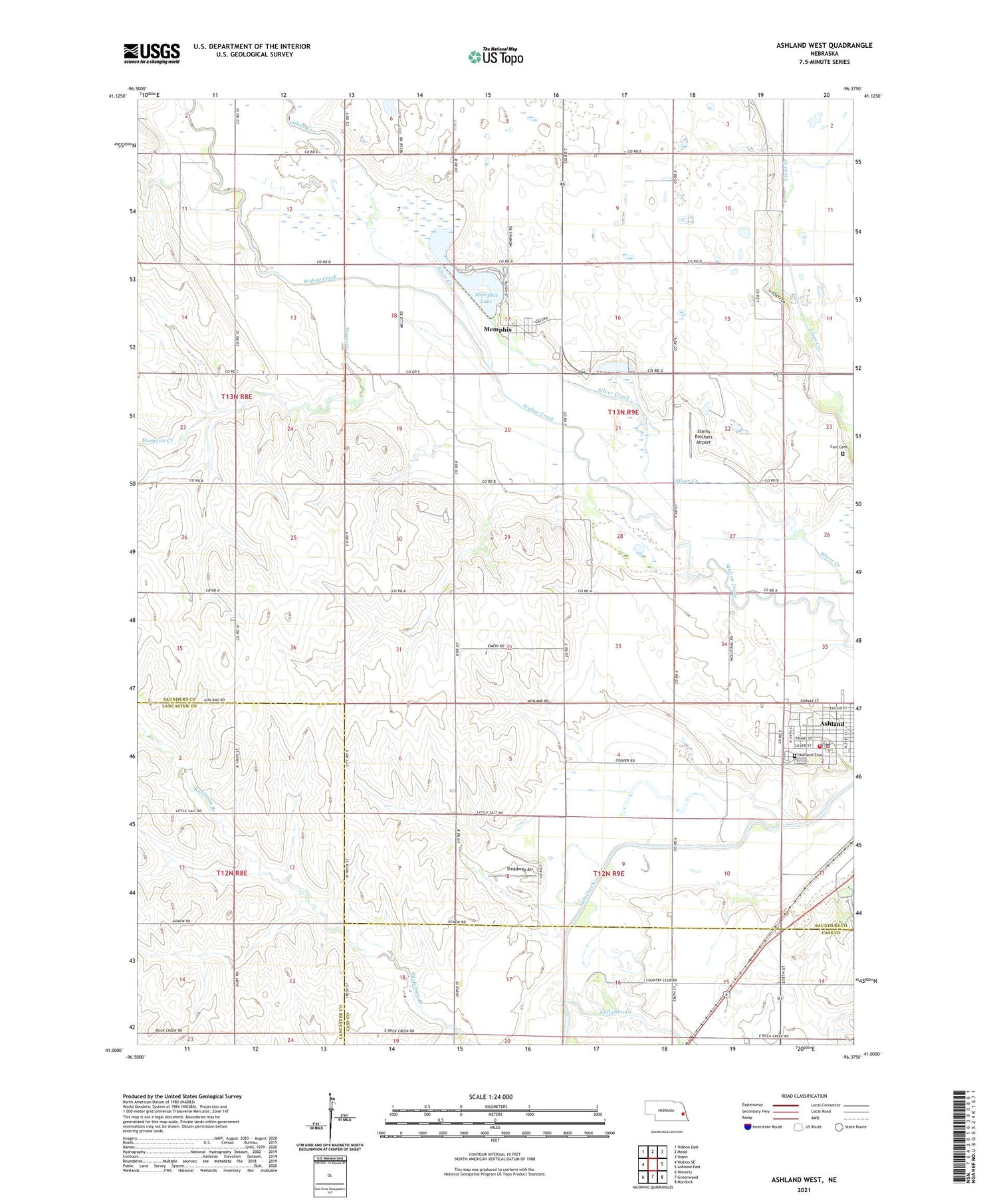
2021 topographic map quadrangle Ashland West in the state of Nebraska. Scale: 1:24000. Based on the newly updated USGS 7.5' US Topo map series, this map is in the following counties: Saunders, Lancaster, Cass. The map contains contour data, water features, and other items you are used to seeing on USGS maps, but also has updated roads and other features. This is the next generation of topographic maps. Printed on high-quality waterproof paper with UV fade-resistant inks.
Quads adjacent to this one:
West: Wahoo SE
Northwest: Wahoo East
North: Mead
Northeast: Wann
East: Ashland East
Southeast: Murdock
South: Greenwood
Southwest: Waverly
Contains the following named places: American Lutheran Church, Ashland Country Club, Ashland Police Department, Ashland Rescue Squad - Ambulance, Ashland Volunteer Fire Department, Callahan Creek, Carr Cemetery, Clear Creek Public School, Luetkenhaus Airport, Memphis, Memphis Dam, Memphis Lake, Memphis Lake State Recreation Area, Memphis Post Office, Mosquito Creek, School Number 5, Silver Creek, Starns Brothers Airport, Township of Ashland, Township of Clear Creek, Treadway Air, Village of Memphis, Wiggenhorn Memorial Park, ZIP Codes: 68003, 68042