MyTopo
Bartlett SE Nebraska US Topo Map
Couldn't load pickup availability
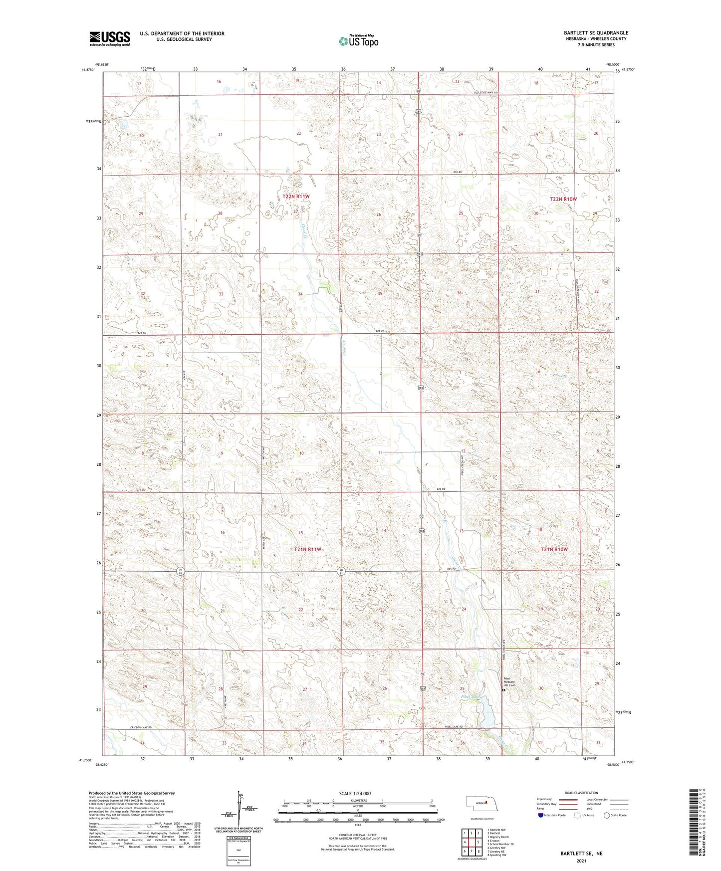
2021 topographic map quadrangle Bartlett SE in the state of Nebraska. Scale: 1:24000. Based on the newly updated USGS 7.5' US Topo map series, this map is in the following counties: Wheeler. The map contains contour data, water features, and other items you are used to seeing on USGS maps, but also has updated roads and other features. This is the next generation of topographic maps. Printed on high-quality waterproof paper with UV fade-resistant inks.
Quads adjacent to this one:
West: Ericson
Northwest: Bartlett NW
North: Bartlett
Northeast: Mignery Ranch
East: School Number 20
Southeast: Spalding NW
South: Greeley NE
Southwest: Greeley NW
This map covers the same area as the classic USGS quad with code o41098g5.
Contains the following named places: Clear Creek School, Four Corners School, Highway School, Pibel Dam, Pibel Lake, Pibel Lake State Recreation Area, Pibel Pleasant Hill Cemetery, Pibel Reservoir, Pibel School