MyTopo
Beatrice East Nebraska US Topo Map
Couldn't load pickup availability
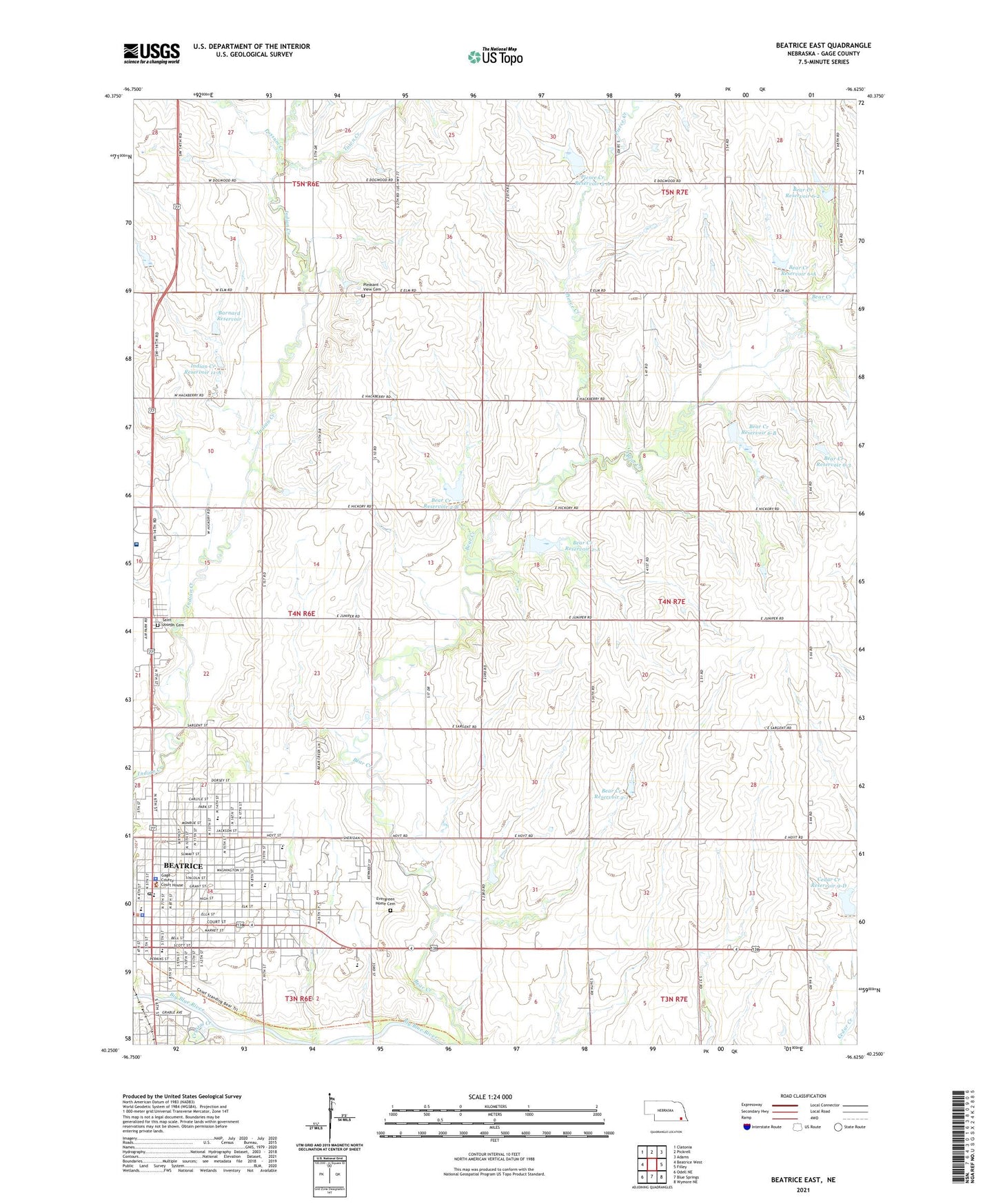
2021 topographic map quadrangle Beatrice East in the state of Nebraska. Scale: 1:24000. Based on the newly updated USGS 7.5' US Topo map series, this map is in the following counties: Gage. The map contains contour data, water features, and other items you are used to seeing on USGS maps, but also has updated roads and other features. This is the next generation of topographic maps. Printed on high-quality waterproof paper with UV fade-resistant inks.
Quads adjacent to this one:
West: Beatrice West
Northwest: Clatonia
North: Pickrell
Northeast: Adams
East: Filley
Southeast: Wymore NE
South: Blue Springs
Southwest: Odell NE
This map covers the same area as the classic USGS quad with code o40096c6.
Contains the following named places: Astro Park, Barnard Dam, Barnard Reservoir, Bear Creek Dam 2-1, Bear Creek Dam 2-A, Bear Creek Dam 2-B, Bear Creek Dam 6-2, Bear Creek Dam 6-3, Bear Creek Dam 6-A, Bear Creek Dam 6-B, Bear Creek Reservoir 2-1, Bear Creek Reservoir 2-A, Bear Creek Reservoir 2-B, Bear Creek Reservoir 6-2, Bear Creek Reservoir 6-3, Bear Creek Reservoir 6-A, Bear Creek Reservoir 6-B, Beatrice, Beatrice Childrens Clinic, Beatrice Community Hospital and Health Center, Beatrice Family Chiropractic, Beatrice Foot Clinic, Beatrice High School, Beatrice Manor Care Center, Beatrice Mennonite Church, Beatrice Middle School, Beatrice Orthodontics, Beatrice Orthopedic Clinic, Beatrice Physical Therapy Clinic, Beatrice Police Department, Beatrice Post Office, Beatrice Public Library, Beatrice Rural Fire District, Beatrice State Developmental Center, Beatrice State Home, Bible Baptist Church, Blue Valley Ear Nose and Throat Clinic and Hearing Center, Cedar Creek Dam 9-D, Cedar Creek Reservoir 9-D, Centenary United Methodist Church, Charles Park, Chautauqua Park, Chautauqua Park Campground, Christ Community Church, Christ Evangelical Lutheran Church, Church of Christ, Church of the Nazarene, City of Beatrice, Community Medical Center, Cottonwood Grove School, Crystal Creek, Diamond T Travel Plaza and RV Park, Ear Nose and Throat Specialties, Evergreen Home Cemetery, Evergreen School, Excelsior School, Eye Surgical Associates, Eyecare Specialties, Fairview School, Family Mental Health Clinic, First Assembly of God, First Baptist Church, First Christian Church, First Presbyterian Church, First Trinity Lutheran Church, Gage County, Gage County Courthouse, Gage County Medical Clinic, Gage County Sheriff's Office, Gleason Dental Clinic, Good Samaritan Center, Hannibal Park Softball Complex, Hartzell School, Hillsdale School, Holy Cross Lutheran Church, Homestead Baptist Church, Homestead House of Beatrice, Homestead Movement Historical Marker, Hoyle North 77 Mobile Homes, Hunt School, Immanuel Church, Inavale School, Indian Creek Dam 11-A, Indian Creek Mall, Indian Creek Reservoir 11-A, Josephs College of Beauty, Lincoln Elementary School, Logan Center School, Martin-Luther Home, Mount Olive School, Mumford School, New Life Baptist Church, Paddock Kensington, Paddock Lane School, Parkview Center, Pierce Creek, Pierce Creek Dam 3-A, Pierce Creek Reservoir 3-A, Pleasant View Cemetery, Possum Creek, Robertson Park, Saint John Lutheran Church, Saint Joseph Cemetery, Saint Josephs Catholic Church, Saint Josephs Elementary School, Saint Pauls Lutheran Church, Saint Pauls Lutheran School, Searcey Grain Company Elevator, Seventh Day Adventist Church, Stoddard Elementary School, The Church of Jesus Christ of Latter Day Saints, Town Creek, Township of Logan, Township of Midland, Trinity Lutheran Church


