MyTopo
Bladen Nebraska US Topo Map
Couldn't load pickup availability
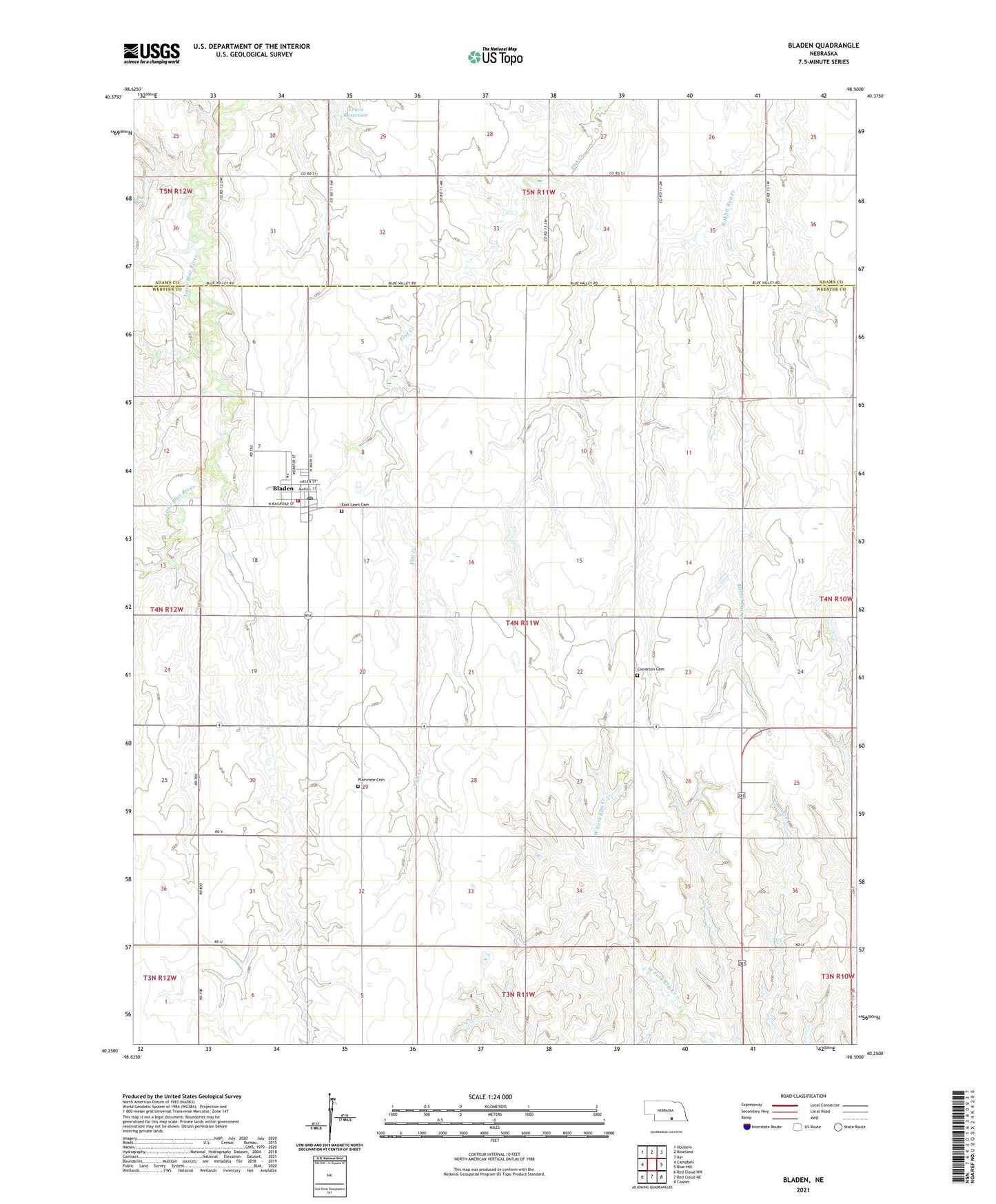
2021 topographic map quadrangle Bladen in the state of Nebraska. Scale: 1:24000. Based on the newly updated USGS 7.5' US Topo map series, this map is in the following counties: Webster, Adams. The map contains contour data, water features, and other items you are used to seeing on USGS maps, but also has updated roads and other features. This is the next generation of topographic maps. Printed on high-quality waterproof paper with UV fade-resistant inks.
Quads adjacent to this one:
West: Campbell
Northwest: Holstein
North: Roseland
Northeast: Ayr
East: Blue Hill
Southeast: Cowles
South: Red Cloud NE
Southwest: Red Cloud NW
Contains the following named places: Agri Co-op Elevator, Bladen, Bladen Election Precinct, Bladen Post Office, Bladen Volunteer Fire and Rescue, Catherland Historical Marker, Cloverton Cemetery, East Lawn Cemetery, Lewis Dam, Lewis Reservoir, Plainview Cemetery, Silver Lake Elementary School, Township of Batin, Township of Glenwood, United Methodist Church, Village of Bladen, Webster County Fair Grounds, ZIP Code: 68928