MyTopo
Blue Hill Nebraska US Topo Map
Couldn't load pickup availability
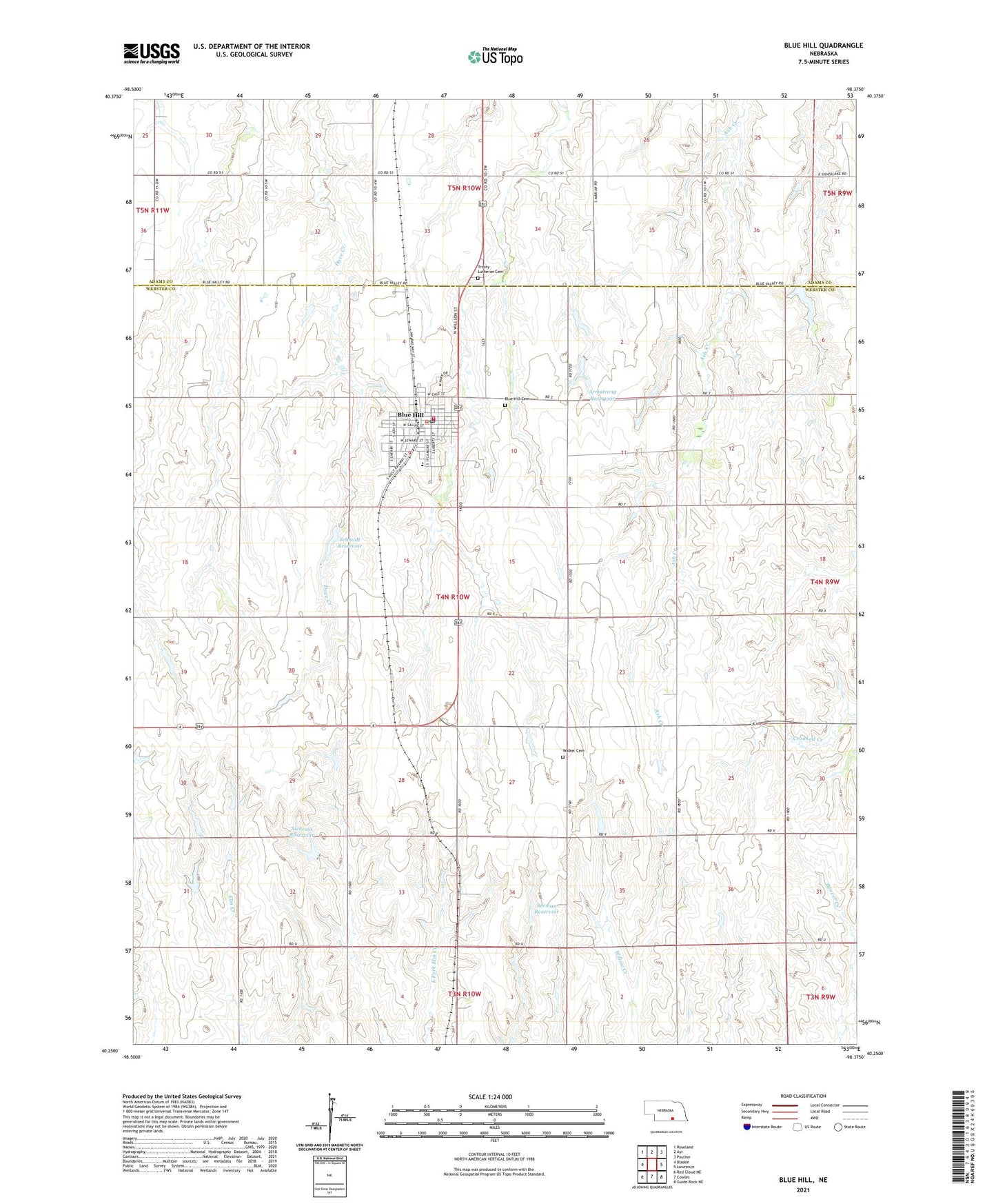
2021 topographic map quadrangle Blue Hill in the state of Nebraska. Scale: 1:24000. Based on the newly updated USGS 7.5' US Topo map series, this map is in the following counties: Webster, Adams. The map contains contour data, water features, and other items you are used to seeing on USGS maps, but also has updated roads and other features. This is the next generation of topographic maps. Printed on high-quality waterproof paper with UV fade-resistant inks.
Quads adjacent to this one:
West: Bladen
Northwest: Roseland
North: Ayr
Northeast: Pauline
East: Lawrence
Southeast: Guide Rock NE
South: Cowles
Southwest: Red Cloud NE
This map covers the same area as the classic USGS quad with code o40098c4.
Contains the following named places: Agri Co-op Elevator, Armstrong Dam, Armstrong Reservoir, Ash Hollow Country Club, Belle Amis, Blue Hill, Blue Hill Cemetery, Blue Hill Clinic, Blue Hill Dental Center, Blue Hill Election Precinct, Blue Hill Elementary School, Blue Hill High School, Blue Hill Police Station, Blue Hill Post Office, Blue Hill Public Library, Blue Hill Volunteer Fire and Rescue, Calvary Lutheran Church, City of Blue Hill, Community Care, Election District 2, Election District 4, Holy Trinity Catholic Church, Saint Paul Lutheran Church, Schmidt Dam, Schmidt Reservoir, Seeman Dam, Seeman Reservoir, Siebrass Dam, Siebrass Reservoir, Township of Elm Creek, Township of Potsdam, Trinity Lutheran Cemetery, Trinity Lutheran Church, United Methodist Church, Walker Cemetery, ZIP Code: 68930