MyTopo
Bodarc Nebraska US Topo Map
Couldn't load pickup availability
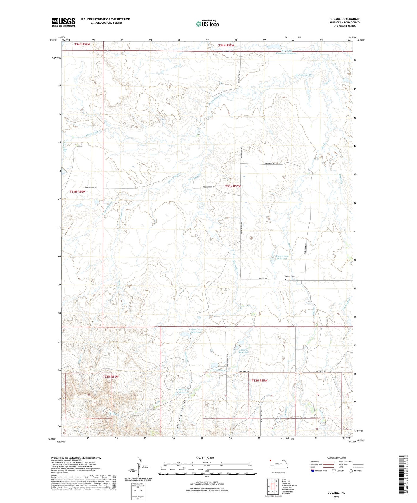
2021 topographic map quadrangle Bodarc in the state of Nebraska. Scale: 1:24000. Based on the newly updated USGS 7.5' US Topo map series, this map is in the following counties: Sioux. The map contains contour data, water features, and other items you are used to seeing on USGS maps, but also has updated roads and other features. This is the next generation of topographic maps. Printed on high-quality waterproof paper with UV fade-resistant inks.
Quads adjacent to this one:
West: Warbonnet Ranch
Northwest: Story
North: Story NE
Northeast: Montrose
East: Five Points
Southeast: Andrews
South: Harrison East
Southwest: Harrison West
This map covers the same area as the classic USGS quad with code o42103g7.
Contains the following named places: Andrews Dam, Andrews Reservoir, Bill Coffee Dam Number 1, Bill Coffee Reservoir Number 1, Bodarc Cemetery, Bodarc School, Boggy Creek, Cedar Creek, Crystal Lake Dam, Crystal Lake Reservoir, Dry Boggy Creek, East Hat Creek, Jordan Dam-3 Dam, Lady in the Shoe, Monroe Creek, Plunkett Dam, Plunkett Reservoir, Prairie Dog Creek, Sowbelly Canyon, Sowbelly Creek, Spring Creek, Spring Creek Dam, Spring Creek Reservoir, Warbonnet Creek, West Hat Creek, Zimmerman Dam, Zimmerman Reservoir