MyTopo
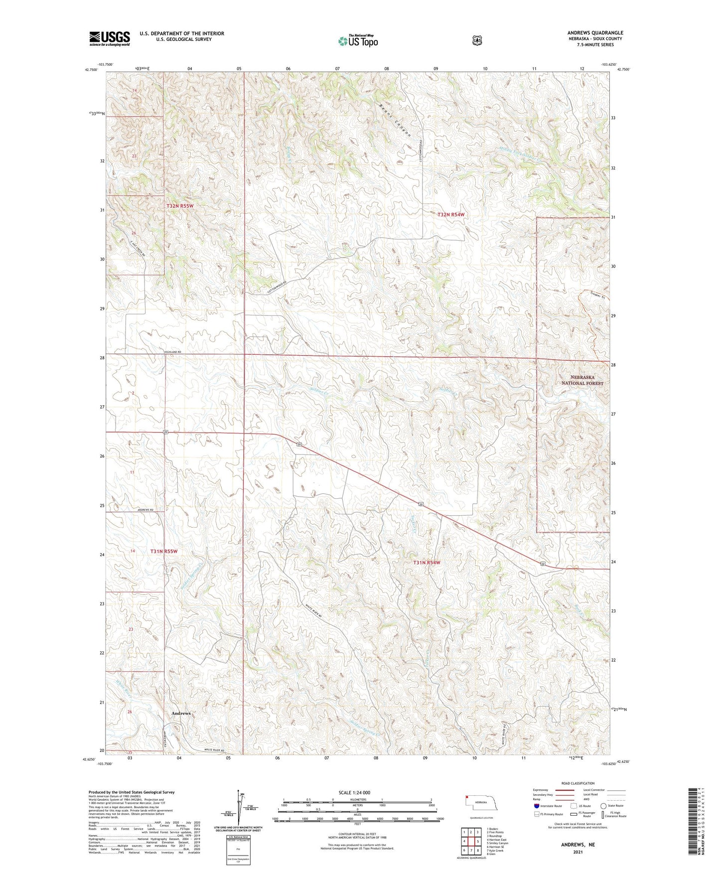
Andrews Nebraska US Topo Map
Couldn't load pickup availability
Also explore the Andrews Forest Service Topo of this same quad for updated USFS data
2021 topographic map quadrangle Andrews in the state of Nebraska. Scale: 1:24000. Based on the newly updated USGS 7.5' US Topo map series, this map is in the following counties: Sioux. The map contains contour data, water features, and other items you are used to seeing on USGS maps, but also has updated roads and other features. This is the next generation of topographic maps. Printed on high-quality waterproof paper with UV fade-resistant inks.
Quads adjacent to this one:
West: Harrison East
Northwest: Bodarc
North: Five Points
Northeast: Roundtop
East: Smiley Canyon
Southeast: Glen
South: Kyle Creek
Southwest: Harrison SE
This map covers the same area as the classic USGS quad with code o42103f6.
Contains the following named places: Andrews, Andrews Post Office