MyTopo
Camp Valley Nebraska US Topo Map
Couldn't load pickup availability
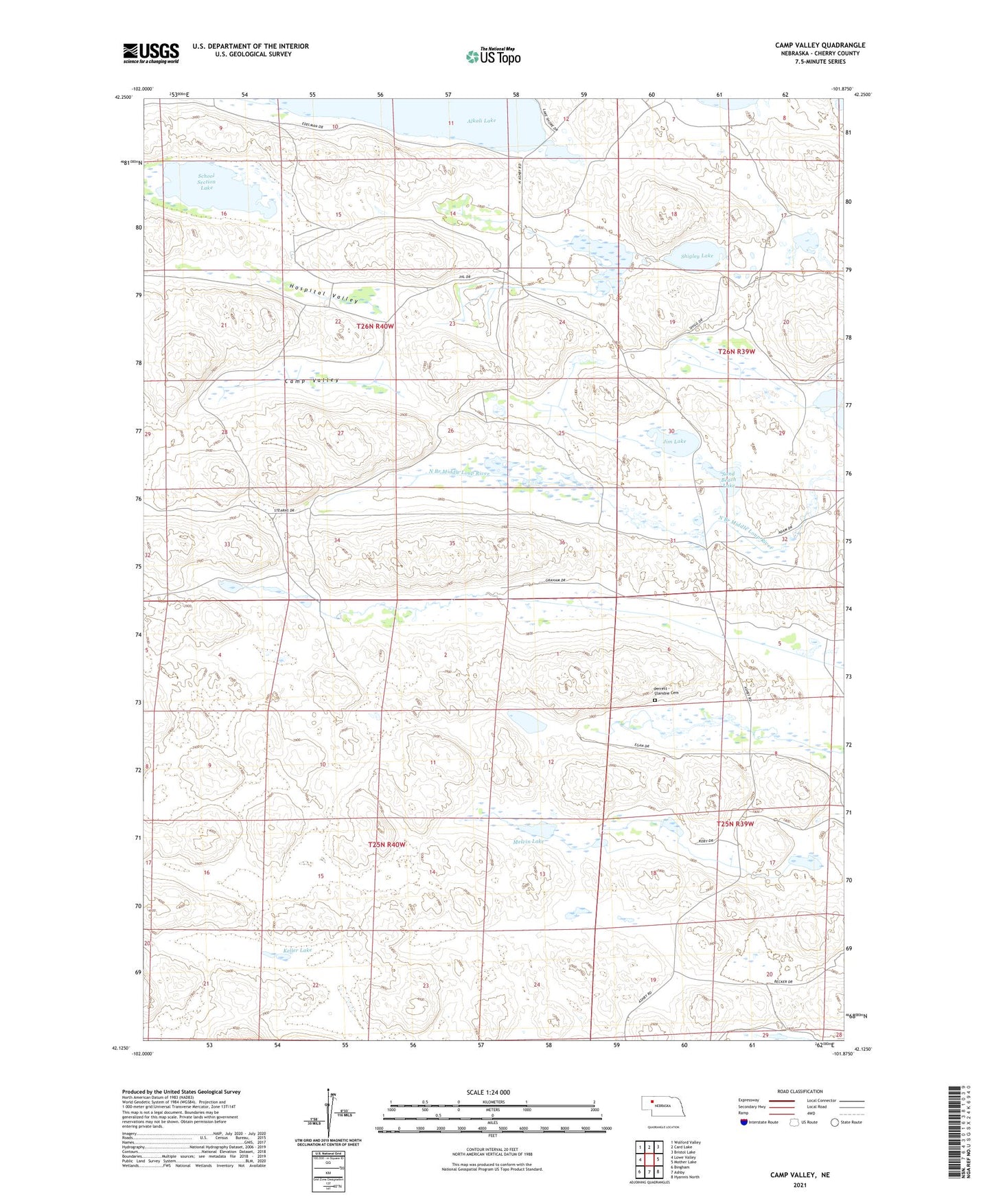
2021 topographic map quadrangle Camp Valley in the state of Nebraska. Scale: 1:24000. Based on the newly updated USGS 7.5' US Topo map series, this map is in the following counties: Cherry. The map contains contour data, water features, and other items you are used to seeing on USGS maps, but also has updated roads and other features. This is the next generation of topographic maps. Printed on high-quality waterproof paper with UV fade-resistant inks.
Quads adjacent to this one:
West: Lowe Valley
Northwest: Wolford Valley
North: Card Lake
Northeast: Bristol Lake
East: Mother Lake
Southeast: Hyannis North
South: Ashby
Southwest: Bingham
This map covers the same area as the classic USGS quad with code o42101b8.
Contains the following named places: Alkali Lake, Beck Ranch, Beem Ranch, Camp Valley, Diamond Bar Ranch, Dipping Vat Meadow, Egan Ranch, Ferguson - Becker School, Ferguson Ranch, Graham Ranch, Hospital Valley, JHL Ranch, Jim Lake, Keller Lake, Keller Ranch, Keller School, Melvin Lake, Mother Lake Election Precinct, Mother Lake Public School, Sand Beach Lake, School Section Lake, Shigley Lake, Sterns Ranch