MyTopo
Eustis Nebraska US Topo Map
Couldn't load pickup availability
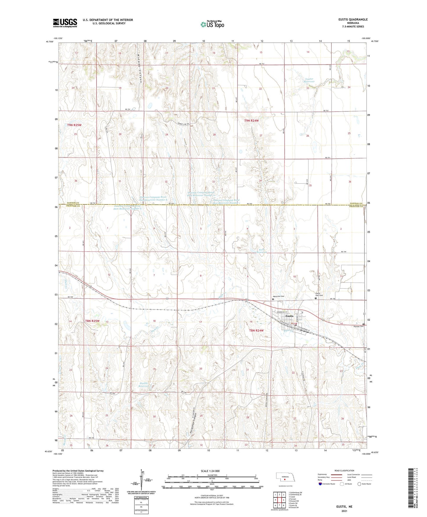
2021 topographic map quadrangle Eustis in the state of Nebraska. Scale: 1:24000. Based on the newly updated USGS 7.5' US Topo map series, this map is in the following counties: Frontier, Dawson. The map contains contour data, water features, and other items you are used to seeing on USGS maps, but also has updated roads and other features. This is the next generation of topographic maps. Printed on high-quality waterproof paper with UV fade-resistant inks.
Quads adjacent to this one:
West: Farnam
Northwest: Gothenburg SW
North: Gothenburg SE
Northeast: Cozad
East: Elwood NW
Southeast: Elwood SW
South: Eustis SE
Southwest: Eustis SW
This map covers the same area as the classic USGS quad with code o40100f1.
Contains the following named places: Dawson Company Road Dam Number 1, Dawson Company Road Dam Number 2, Dawson Company Road Dam Reservoir Number 1, Dawson Company Road Dam Reservoir Number 2, Dawson Company Road Dam Reservoir Number 8, Dawson Company Road Dam Reservoir Number 9, Dawson County Road Dam Number 8, Dawson County Road Dam Number 9, Eustis, Eustis East Cemetery, Eustis Fire and Rescue, Eustis Methodist Cemetery, Eustis Post Office, Eustis Public Library, Eustis Volunteer Rescue Squad, Eustis-Farnam High School, Fairview Election Precinct, Farmers Cooperative Association Elevator, Hueftle Dam, Hueftle Reservoir, Kingston, Koch Dam-1 Dam, Koch Reservoir, Pioneer Cemetery, Plum Creek Medical Group, Saint John Lutheran Church, Township of Fairview, Township of Farnam, United Methodist Church, Village of Eustis, Westview Cemetery, Yeutter Dam, Yeutter Reservoir, ZIP Code: 69028