MyTopo
Hartington SW Nebraska US Topo Map
Couldn't load pickup availability
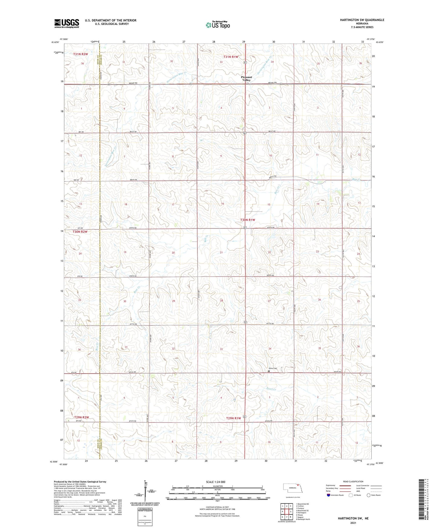
2021 topographic map quadrangle Hartington SW in the state of Nebraska. Scale: 1:24000. Based on the newly updated USGS 7.5' US Topo map series, this map is in the following counties: Cedar, Knox. The map contains contour data, water features, and other items you are used to seeing on USGS maps, but also has updated roads and other features. This is the next generation of topographic maps. Printed on high-quality waterproof paper with UV fade-resistant inks.
Quads adjacent to this one:
West: Bloomfield SE
Northwest: Bloomfield NE
North: Crofton
Northeast: Fordyce
East: Hartington
Southeast: Randolph North
South: Magnet
Southwest: Wausa
Contains the following named places: Election Precinct 11, Goldenrod School, Harmony School, Olive Cemetery, Pleasant Valley, Precinct Eighteen, Precinct Eleven, Sudbeck Field, Sunny Hill School