MyTopo
Fordyce Nebraska US Topo Map
Couldn't load pickup availability
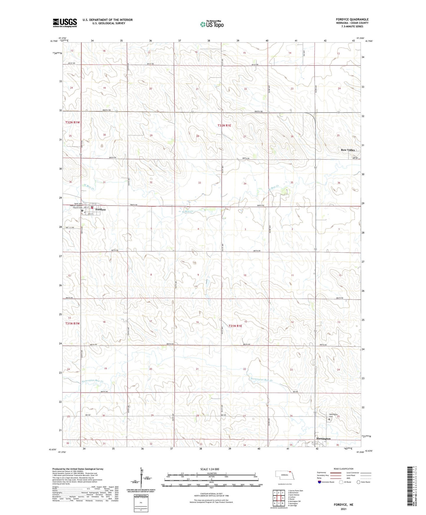
2021 topographic map quadrangle Fordyce in the state of Nebraska. Scale: 1:24000. Based on the newly updated USGS 7.5' US Topo map series, this map is in the following counties: Cedar. The map contains contour data, water features, and other items you are used to seeing on USGS maps, but also has updated roads and other features. This is the next generation of topographic maps. Printed on high-quality waterproof paper with UV fade-resistant inks.
Quads adjacent to this one:
West: Crofton
Northwest: Gavins Point Dam
North: Menominee
Northeast: Saint Helena
East: Wynot
Southeast: Coleridge
South: Hartington
Southwest: Hartington SW
This map covers the same area as the classic USGS quad with code o42097f3.
Contains the following named places: Bow Valley Census Designated Place, East Catholic Elementary School, Election Precinct 4, Election Precinct 9, Election Precinct 9A, Fordyce, Fordyce Farmers Non-Stock Cooperative Elevator, Fordyce Fire Department, Fordyce Park, Fordyce Post Office, Hartington Cemetery, Hartington Golf Club, Precinct Four, Precinct Nine, Precinct Nine A, Saint John Baptist Catholic Church Cemetery, Saint John the Baptist Catholic Church, Saints Peter and Paul Catholic Church, Village of Fordyce, West Catholic School, ZIP Codes: 68736, 68739