MyTopo
Hyannis South Nebraska US Topo Map
Couldn't load pickup availability
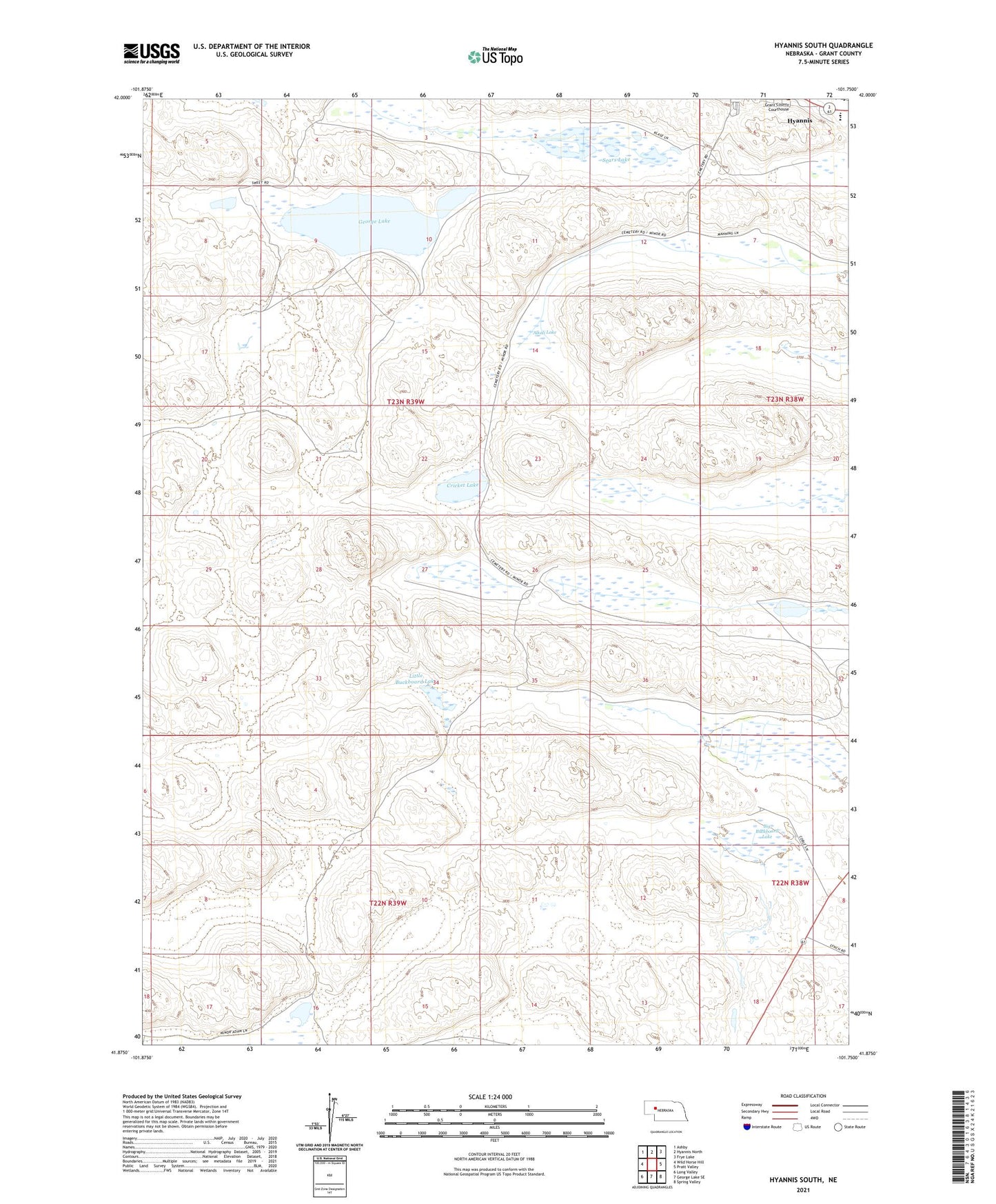
2021 topographic map quadrangle Hyannis South in the state of Nebraska. Scale: 1:24000. Based on the newly updated USGS 7.5' US Topo map series, this map is in the following counties: Grant. The map contains contour data, water features, and other items you are used to seeing on USGS maps, but also has updated roads and other features. This is the next generation of topographic maps. Printed on high-quality waterproof paper with UV fade-resistant inks.
Quads adjacent to this one:
West: Wild Horse Hill
Northwest: Ashby
North: Hyannis North
Northeast: Frye Lake
East: Pratt Valley
Southeast: Spring Valley
South: George Lake SE
Southwest: Long Valley
This map covers the same area as the classic USGS quad with code o41101h7.
Contains the following named places: Alkali Lake, Big Buckboard Lake, Cricket Lake, George Lake, Hyannis Elementary School, Hyannis High School, Little Buckboard Lake, Minor Ranch, Paul Sweet Ranch, Sears Lake, Sid Sweet Ranch, ZIP Code: 69350