MyTopo
Oconto SW Nebraska US Topo Map
Couldn't load pickup availability
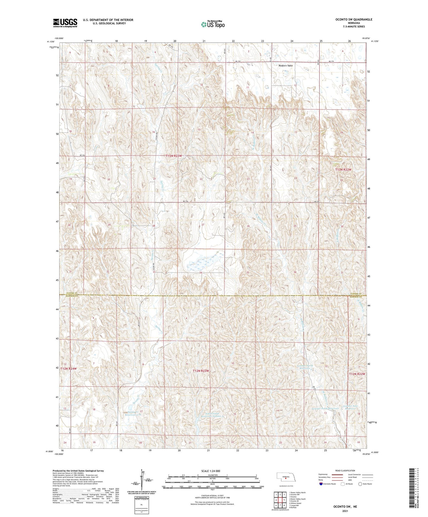
2021 topographic map quadrangle Oconto SW in the state of Nebraska. Scale: 1:24000. Based on the newly updated USGS 7.5' US Topo map series, this map is in the following counties: Custer, Dawson. The map contains contour data, water features, and other items you are used to seeing on USGS maps, but also has updated roads and other features. This is the next generation of topographic maps. Printed on high-quality waterproof paper with UV fade-resistant inks.
Quads adjacent to this one:
West: Roten Valley South
Northwest: Roten Valley North
North: Oconto NW
Northeast: Oconto
East: Oconto SE
Southeast: Buffalo
South: Cozad NW
Southwest: Willow Island
This map covers the same area as the classic USGS quad with code o41099a8.
Contains the following named places: Floodwater Retarding Dam 11-A, Lemmer East Dam, Lemmer East Reservoir, Lemmer North Dam, Lemmer North Reservoir, Lemmer South Dam, Lemmer South Reservoir, Lemmery School, Pleasant Valley Church, School Land Dam Number 4, School Land Reservoir Number 4, School Number 11, School Number 54, Spring Creek Reservoir 11-A, Sunny Hill School, Township of Grant