MyTopo
Orum Nebraska US Topo Map
Couldn't load pickup availability
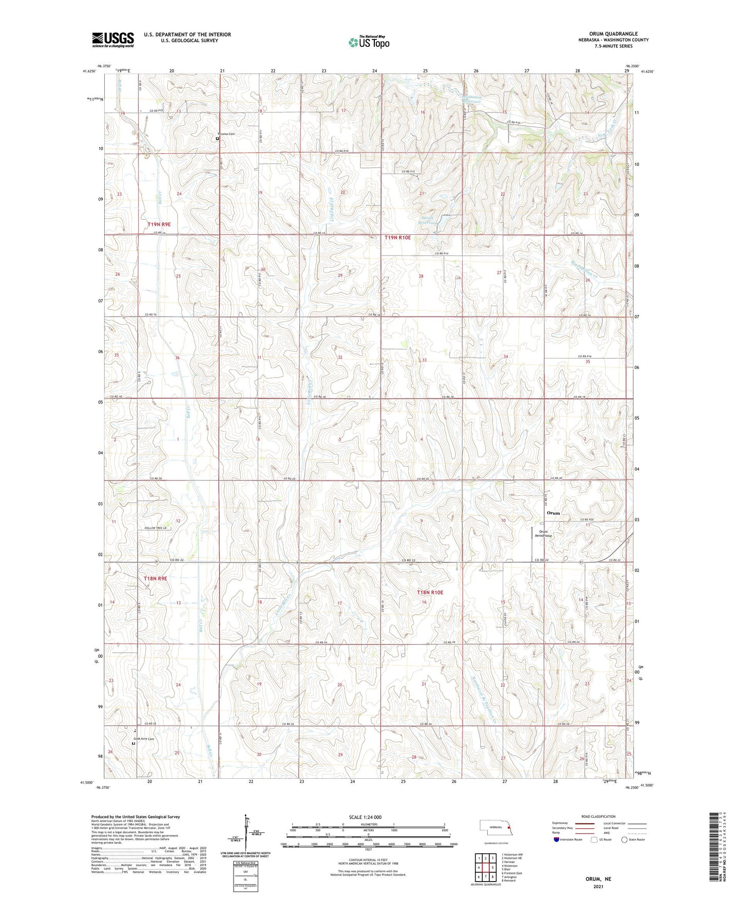
2021 topographic map quadrangle Orum in the state of Nebraska. Scale: 1:24000. Based on the newly updated USGS 7.5' US Topo map series, this map is in the following counties: Washington. The map contains contour data, water features, and other items you are used to seeing on USGS maps, but also has updated roads and other features. This is the next generation of topographic maps. Printed on high-quality waterproof paper with UV fade-resistant inks.
Quads adjacent to this one:
West: Nickerson
Northwest: Nickerson NW
North: Nickerson NE
Northeast: Herman
East: Blair
Southeast: Kennard
South: Arlington
Southwest: Fremont East
This map covers the same area as the classic USGS quad with code o41096e3.
Contains the following named places: Bisbee School, Gods Acre Cemetery, Immanuel Church, Little Bell Creek, Mathiesen Dam, Mathiesen Reservoir, Orum, Orum Aerodrome, Orum Post Office, Rose Hill School, Saint Paul School, Saint Pauls Lutheran Church, Spiker, Spiker Post Office, Sprick Dam, Sprick Reservoir, Thome School, Township 6, Vacoma Cemetery