MyTopo
Nickerson NW Nebraska US Topo Map
Couldn't load pickup availability
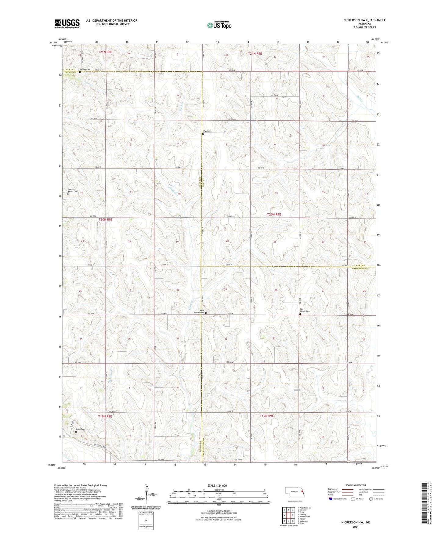
2021 topographic map quadrangle Nickerson NW in the state of Nebraska. Scale: 1:24000. Based on the newly updated USGS 7.5' US Topo map series, this map is in the following counties: Dodge, Burt, Washington. The map contains contour data, water features, and other items you are used to seeing on USGS maps, but also has updated roads and other features. This is the next generation of topographic maps. Printed on high-quality waterproof paper with UV fade-resistant inks.
Quads adjacent to this one:
West: Uehling
Northwest: West Point SE
North: Oakland
Northeast: Craig
East: Nickerson NE
Southeast: Orum
South: Nickerson
Southwest: Hooper
This map covers the same area as the classic USGS quad with code o41096f4.
Contains the following named places: Admah, Admah Post Office, Argo, Argo Cemetery, Argo Post Office, East Admah Cemetery, Elim Church, Logan Cemetery, School Number 14, School Number 17, School Number 21, School Number 67, School Number 68, Swaburg Baptist Cemetery, Uehling Cemetery, West Admah Cemetery, ZIP Code: 68063