MyTopo
Polk NW Nebraska US Topo Map
Couldn't load pickup availability
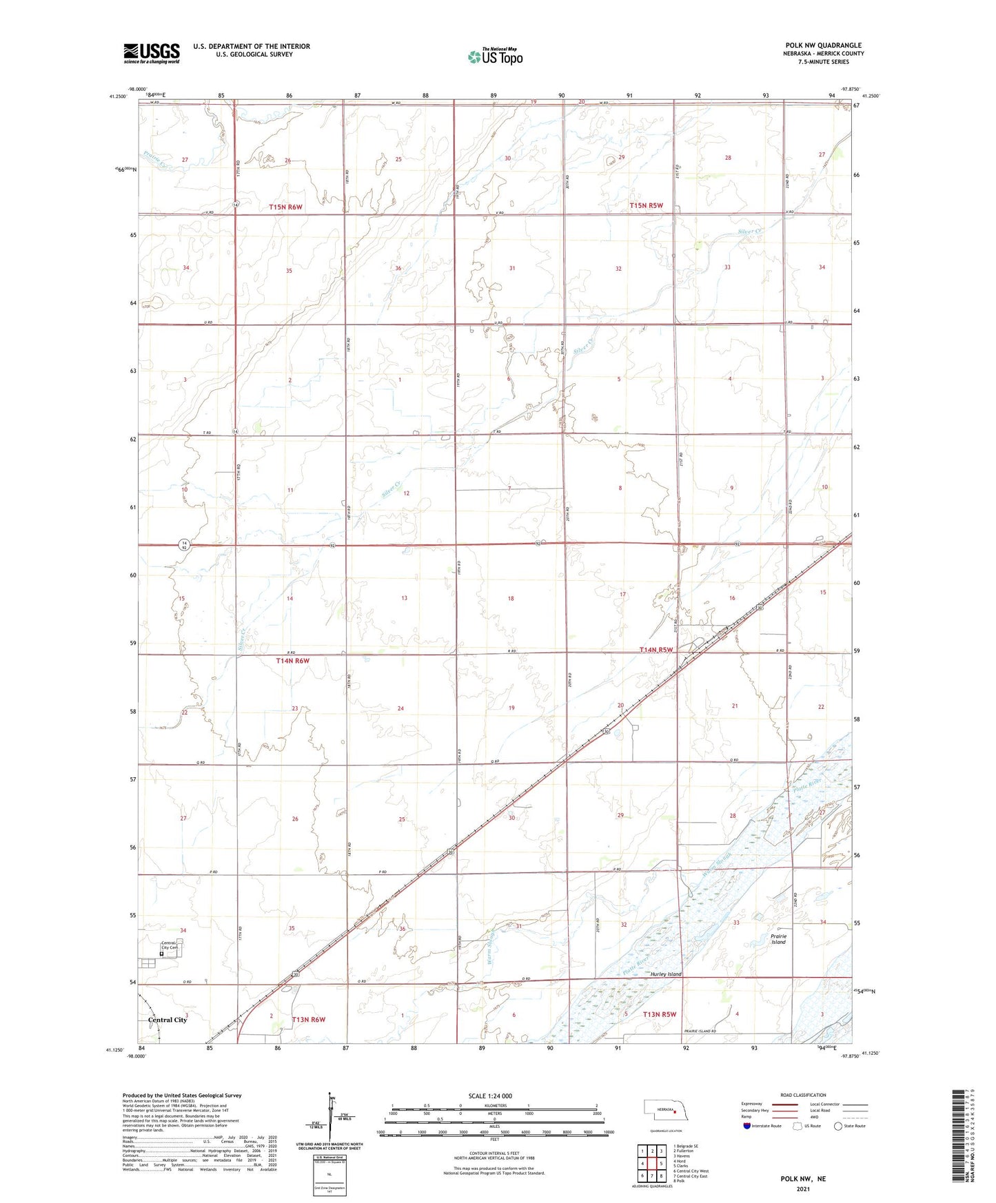
2021 topographic map quadrangle Polk NW in the state of Nebraska. Scale: 1:24000. Based on the newly updated USGS 7.5' US Topo map series, this map is in the following counties: Merrick. The map contains contour data, water features, and other items you are used to seeing on USGS maps, but also has updated roads and other features. This is the next generation of topographic maps. Printed on high-quality waterproof paper with UV fade-resistant inks.
Quads adjacent to this one:
West: Hord
Northwest: Belgrade SE
North: Fullerton
Northeast: Havens
East: Clarks
Southeast: Polk
South: Central City East
Southwest: Central City West
This map covers the same area as the classic USGS quad with code o41097b8.
Contains the following named places: Central City Cemetery, Hurley Island, KMMJ-AM (Grand Island), Mormon Trail Historical Marker, Prairie Island, School Number 21, School Number 27, School Number 33, School Number 50, Thummel, Township of Central, Township of Prairie Island, Warm Slough School