MyTopo
Randolph South Nebraska US Topo Map
Couldn't load pickup availability
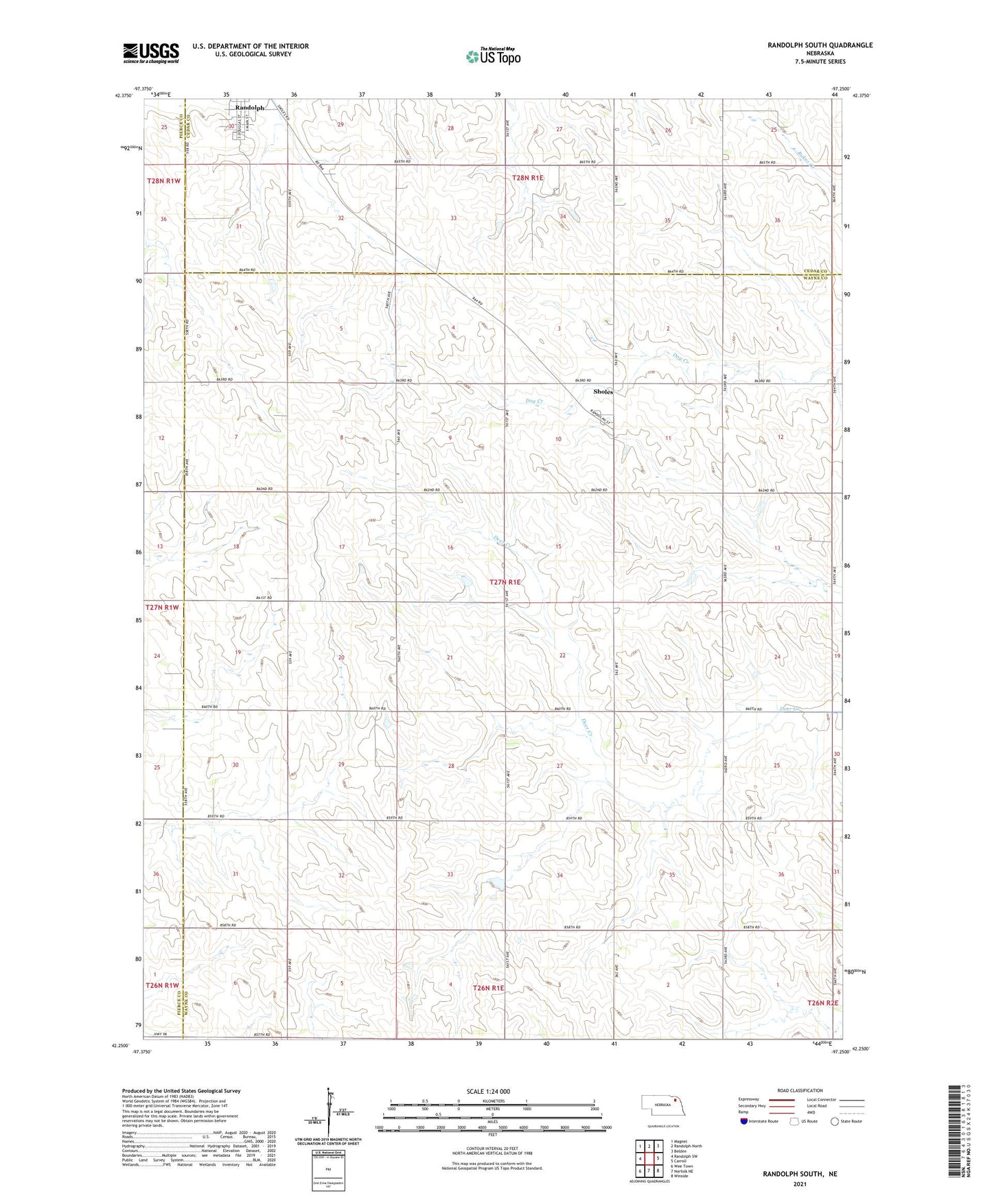
2021 topographic map quadrangle Randolph South in the state of Nebraska. Scale: 1:24000. Based on the newly updated USGS 7.5' US Topo map series, this map is in the following counties: Wayne, Cedar, Pierce. The map contains contour data, water features, and other items you are used to seeing on USGS maps, but also has updated roads and other features. This is the next generation of topographic maps. Printed on high-quality waterproof paper with UV fade-resistant inks.
Quads adjacent to this one:
West: Randolph SW
Northwest: Magnet
North: Randolph North
Northeast: Belden
East: Carroll
Southeast: Winside
South: Norfolk NE
Southwest: Wee Town
This map covers the same area as the classic USGS quad with code o42097c3.
Contains the following named places: Bethany Church, Colonial Manor of Randolph Incorporated, Randolph Community Golf Course, School Number 36, Sherman Election Precinct, Sholes, Sholes Post Office, Sioux Strip State Wildlife Management Area, Village of Sholes, Zion Church