MyTopo
Winside Nebraska US Topo Map
Couldn't load pickup availability
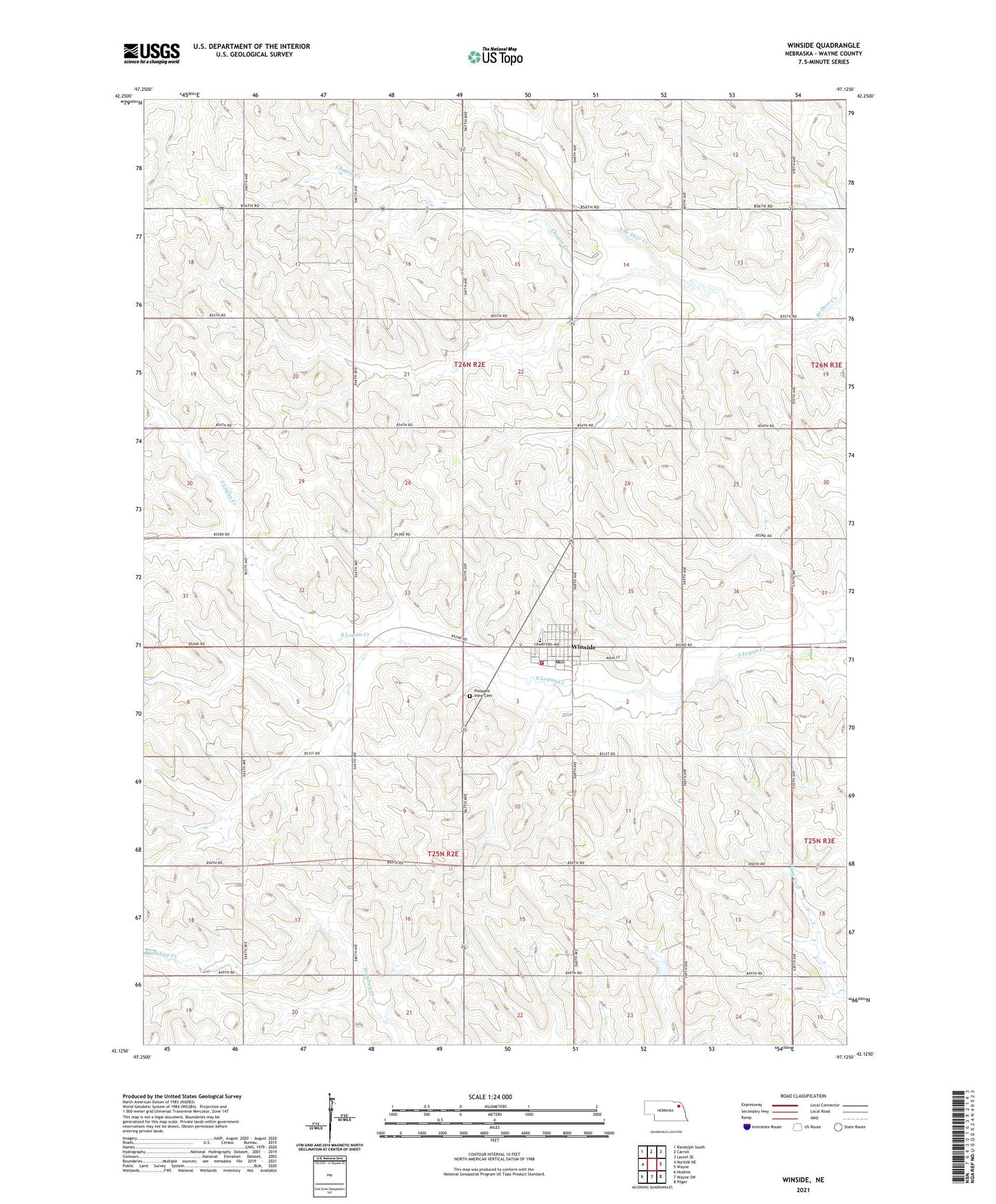
2021 topographic map quadrangle Winside in the state of Nebraska. Scale: 1:24000. Based on the newly updated USGS 7.5' US Topo map series, this map is in the following counties: Wayne. The map contains contour data, water features, and other items you are used to seeing on USGS maps, but also has updated roads and other features. This is the next generation of topographic maps. Printed on high-quality waterproof paper with UV fade-resistant inks.
Quads adjacent to this one:
West: Norfolk NE
Northwest: Randolph South
North: Carroll
Northeast: Laurel SE
East: Wayne
Southeast: Pilger
South: Wayne SW
Southwest: Hoskins
This map covers the same area as the classic USGS quad with code o42097b2.
Contains the following named places: Chapin Creek, Chapin Election Precinct, Hancock Election Precinct, Pleasant View Cemetery, Saint Pauls Lutheran Church, Township of Chapin, Township of Hancock, Trinity Lutheran Church, United Methodist Church, Village of Winside, Winside, Winside Grain and Feed Incorporated Elevator, Winside Museum, Winside Post Office, Winside Public Library, Winside Public Schools, Winside Volunteer Fire Department, ZIP Code: 68790