MyTopo
Richland Nebraska US Topo Map
Couldn't load pickup availability
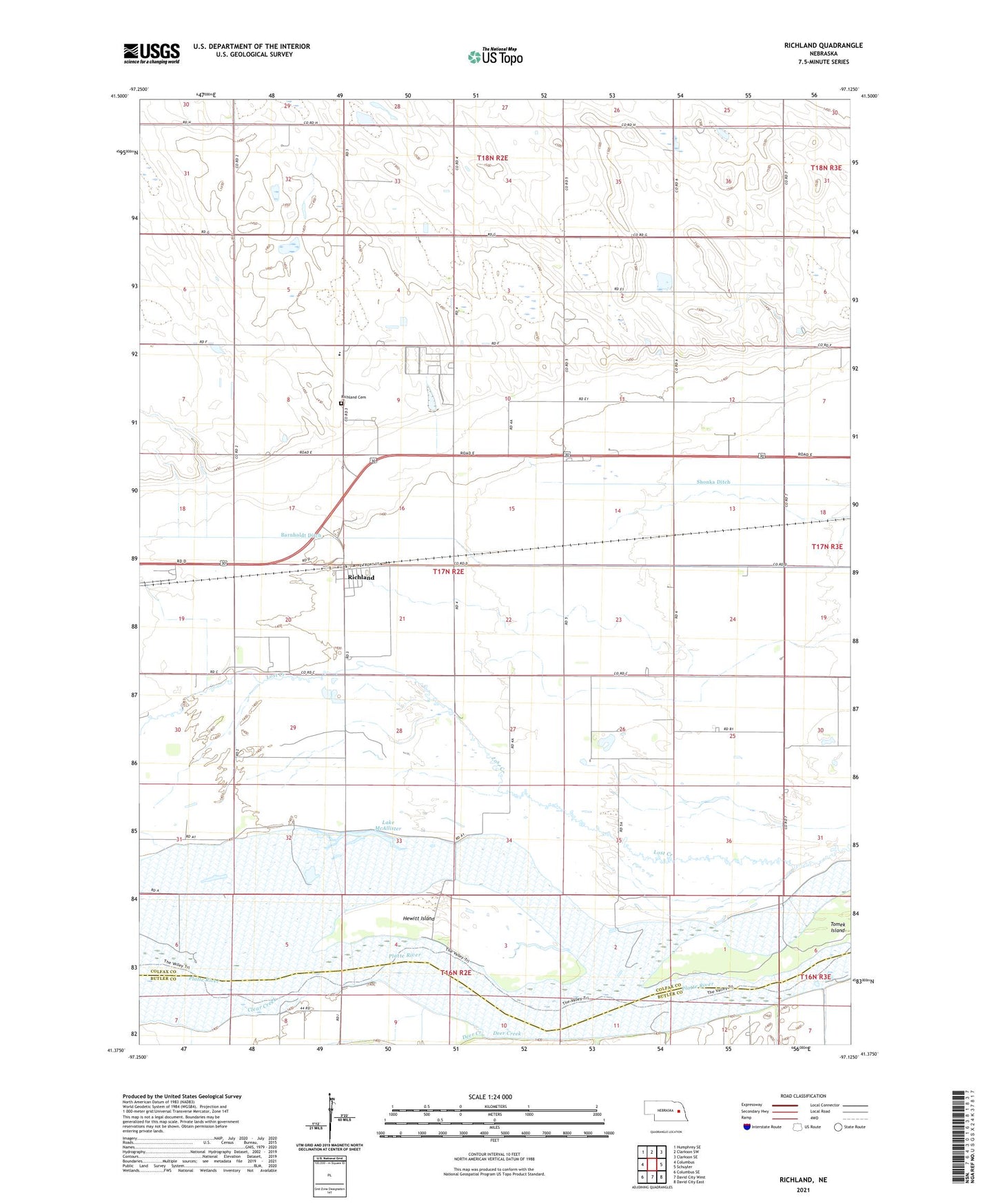
2021 topographic map quadrangle Richland in the state of Nebraska. Scale: 1:24000. Based on the newly updated USGS 7.5' US Topo map series, this map is in the following counties: Colfax, Butler. The map contains contour data, water features, and other items you are used to seeing on USGS maps, but also has updated roads and other features. This is the next generation of topographic maps. Printed on high-quality waterproof paper with UV fade-resistant inks.
Quads adjacent to this one:
West: Columbus
Northwest: Humphrey SE
North: Clarkson SW
Northeast: Clarkson SE
East: Schuyler
Southeast: David City East
South: David City West
Southwest: Columbus SE
Contains the following named places: Barnholdt Ditch, Clear Creek, Deer Creek, Hewitt Island, Lake McAllister, Richland, Richland Cemetery, Richland Election Precinct, Richland Grain Incorporated Elevator, Richland Post Office, Richland Public School, Schuyler Cooperative Elevator, Shonka Ditch, Tomek Island, Township of Richland, Village of Richland, Wessel Farms