MyTopo
Clarkson SE Nebraska US Topo Map
Couldn't load pickup availability
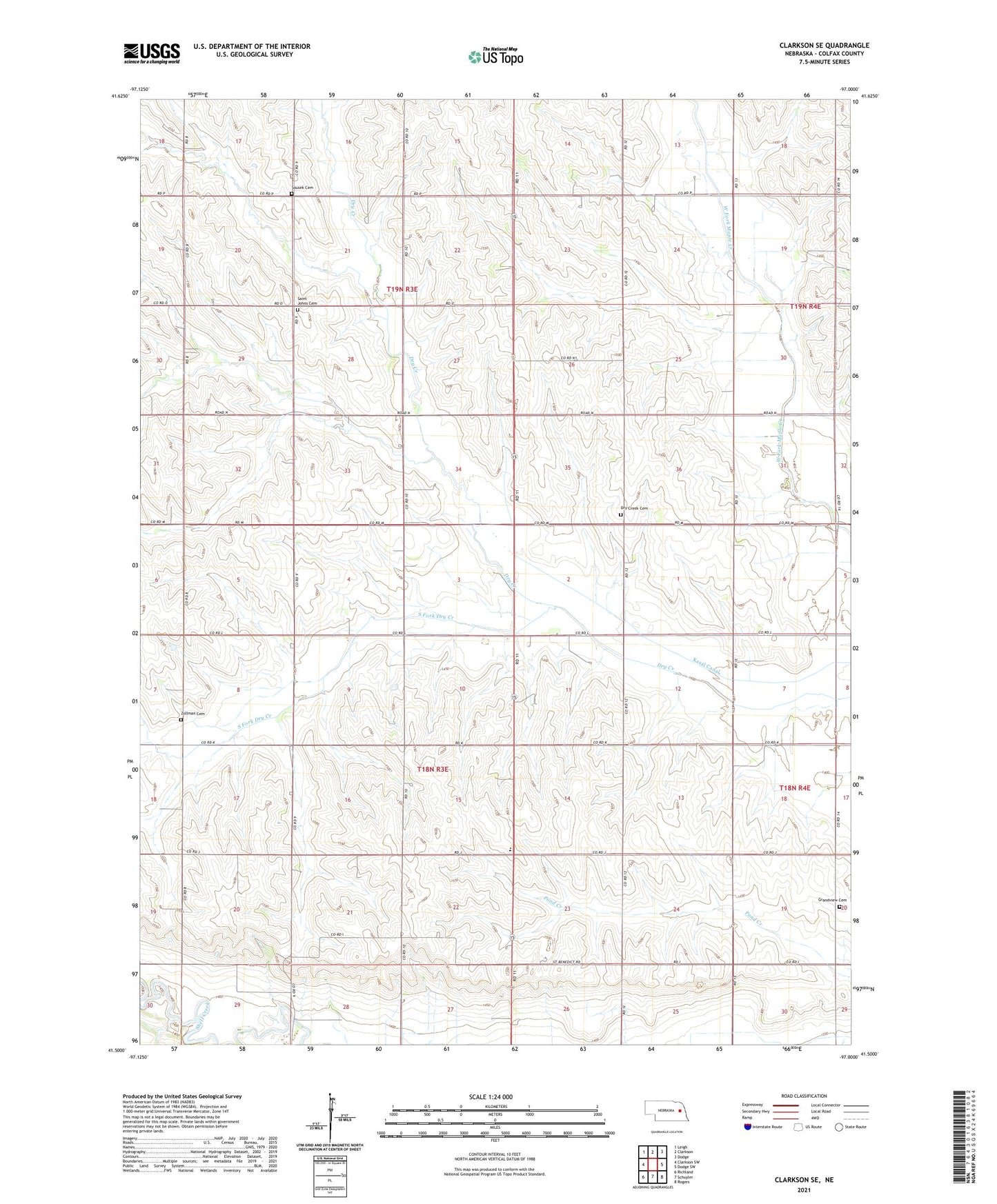
2021 topographic map quadrangle Clarkson SE in the state of Nebraska. Scale: 1:24000. Based on the newly updated USGS 7.5' US Topo map series, this map is in the following counties: Colfax. The map contains contour data, water features, and other items you are used to seeing on USGS maps, but also has updated roads and other features. This is the next generation of topographic maps. Printed on high-quality waterproof paper with UV fade-resistant inks.
Quads adjacent to this one:
West: Clarkson SW
Northwest: Leigh
North: Clarkson
Northeast: Dodge
East: Dodge SW
Southeast: Rogers
South: Schuyler
Southwest: Richland
This map covers the same area as the classic USGS quad with code o41097e1.
Contains the following named places: Benedictine Mission House, Cedar Hill School, Christ the King Chapel, Colfax County, Colfax County District Number 501 School, Dry Creek Cemetery, Fischer School, Grandview Cemetery, Grant Election Precinct, Kasal Canal, Midland Election Precinct, Pleasant Hill School, Praha School, Saint Benedict Center, Saint Johns Cemetery, School Number 28, School Number 9, Sousek Cemetery, South Fork Dry Creek, Township of Grant, Township of Midland, Zollman Cemetery