MyTopo
Sunol Nebraska US Topo Map
Couldn't load pickup availability
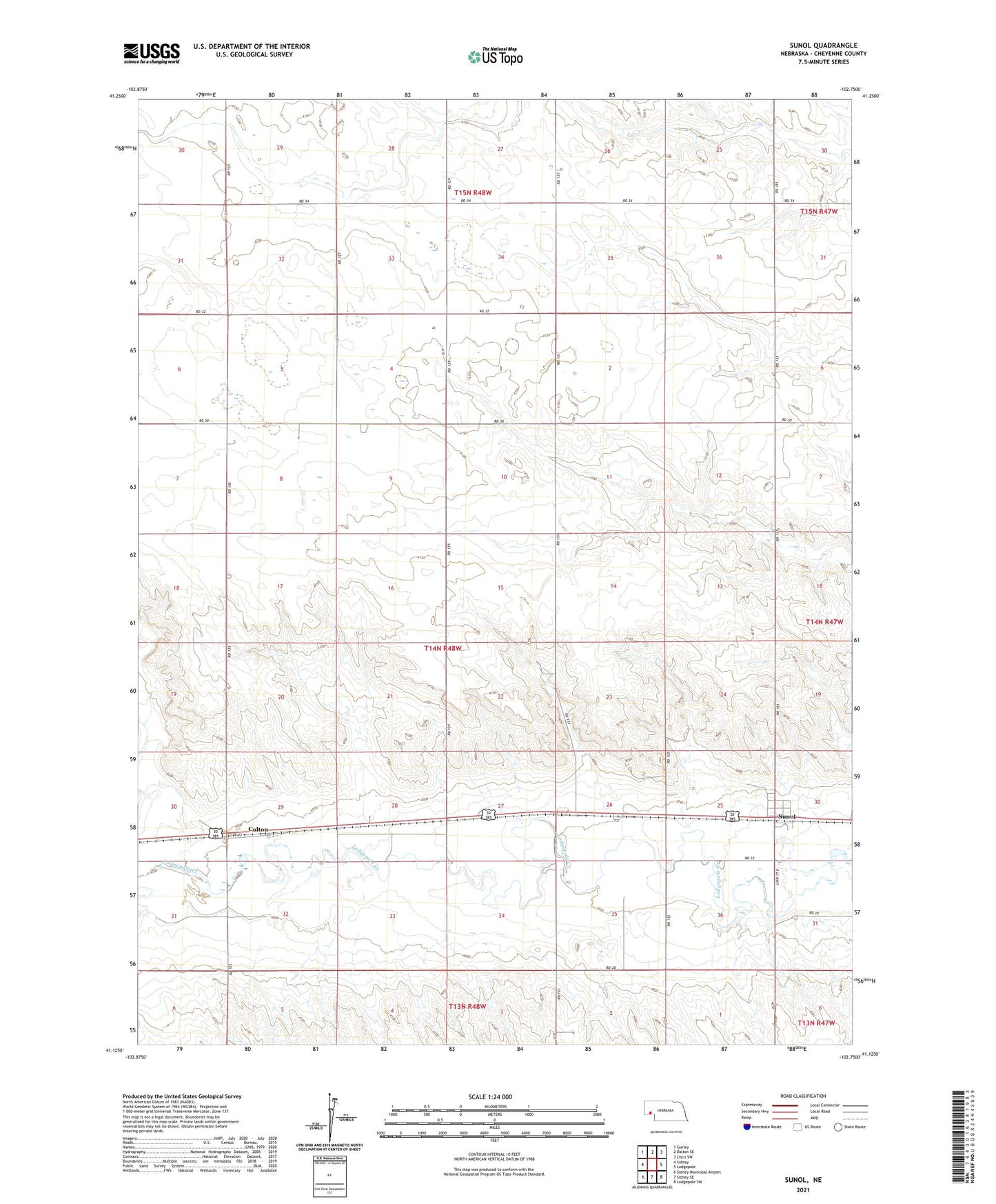
2021 topographic map quadrangle Sunol in the state of Nebraska. Scale: 1:24000. Based on the newly updated USGS 7.5' US Topo map series, this map is in the following counties: Cheyenne. The map contains contour data, water features, and other items you are used to seeing on USGS maps, but also has updated roads and other features. This is the next generation of topographic maps. Printed on high-quality waterproof paper with UV fade-resistant inks.
Quads adjacent to this one:
West: Sidney
Northwest: Gurley
North: Dalton SE
Northeast: Lisco SW
East: Lodgepole
Southeast: Lodgepole SW
South: Sidney SE
Southwest: Sidney Municipal Airport
This map covers the same area as the classic USGS quad with code o41102b7.
Contains the following named places: Colton, Colton Election Precinct, Colton Post Office, Liberty School, Odaniel Dam, Odaniel Reservoir, Sunol, Sunol Census Designated Place, Sunol Post Office