MyTopo
Sidney Nebraska US Topo Map
Couldn't load pickup availability
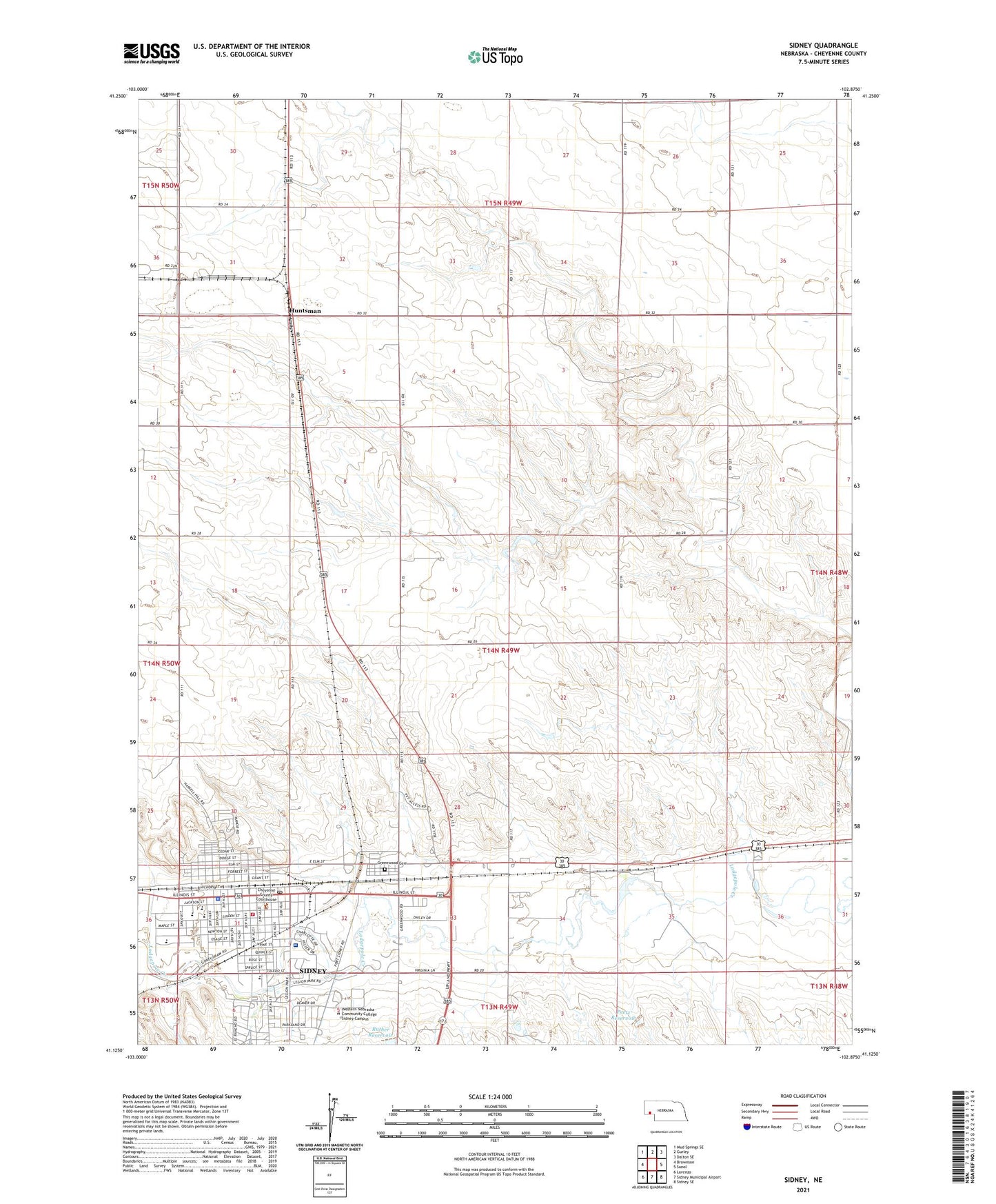
2021 topographic map quadrangle Sidney in the state of Nebraska. Scale: 1:24000. Based on the newly updated USGS 7.5' US Topo map series, this map is in the following counties: Cheyenne. The map contains contour data, water features, and other items you are used to seeing on USGS maps, but also has updated roads and other features. This is the next generation of topographic maps. Printed on high-quality waterproof paper with UV fade-resistant inks.
Quads adjacent to this one:
West: Brownson
Northwest: Mud Springs SE
North: Gurley
Northeast: Dalton SE
East: Sunol
Southeast: Sidney SE
South: Sidney Municipal Airport
Southwest: Lorenzo
This map covers the same area as the classic USGS quad with code o41102b8.
Contains the following named places: Assembly of God Church, Blanke Dam, Blanke Reservoir, Calvary Baptist Church, Central Elementary School, Cheyenne County, Cheyenne County Courthouse, Cheyenne County Fairgrounds, Cheyenne County Museum, Cheyenne County Sheriffs Office, Christ Episcopal Church, Church of Christ, Church of the Nazarene, City of Sidney, Conestoga Mobile Home Park, Crossroads Cooperative Association Elevator, Evangelical Free Church, First Baptist Church, First Christian Church, First United Methodist Church, Fort Sidney, Fort Sidney Historical Marker, Fort Sidney Post Commanders Home, Foursquare Church, Gordons Mobile Plaza, Grace Baptist Church, Greenwood Cemetery, Hillside Golf Course, Holy Trinity Lutheran Church, Huntsman, Huntsman Post Office, Kingdom Hall of Jehovahs Witnesses, KSID-AM (Sidney), Legion Park, Light Memorial Presbyterian Church, Living Memorial Gardens, New Hope Wesleyan Church, North Ward School, Northside Park, Peetz Dam, Peetz Reservoir, Ruther Reservoir, Saint Patricks Catholic Church, Saint Pauls Lutheran Church, School Number 77, Scoular Company Elevator, Seventh Day Adventist Church, Sidney, Sidney - Black Hills Trail Historical Marker, Sidney 2 Election Precinct, Sidney 3 Election Precinct, Sidney Deadwood Trail, Sidney East Dam, Sidney East Reservoir, Sidney Health and Rehabilitation Center, Sidney High School, Sidney Middle School, Sidney Police Department, Sidney Post Office, Sidney Public Library, Sidney Regional Medical Center, Sidney Volunteer Fire Department, Sidney West Dam, Sidney West Reservoir, South Ward School, The Church of Jesus Christ of Latter Day Saints, West Elementary School, Westside Church of Christ, Willard School


