MyTopo
Twin Lakes NE Nebraska US Topo Map
Couldn't load pickup availability
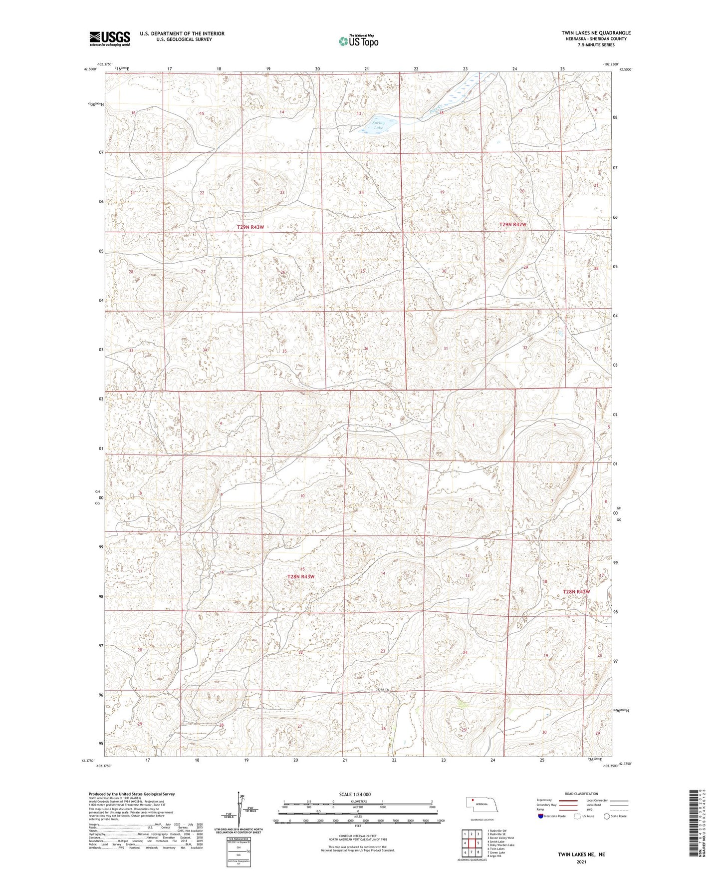
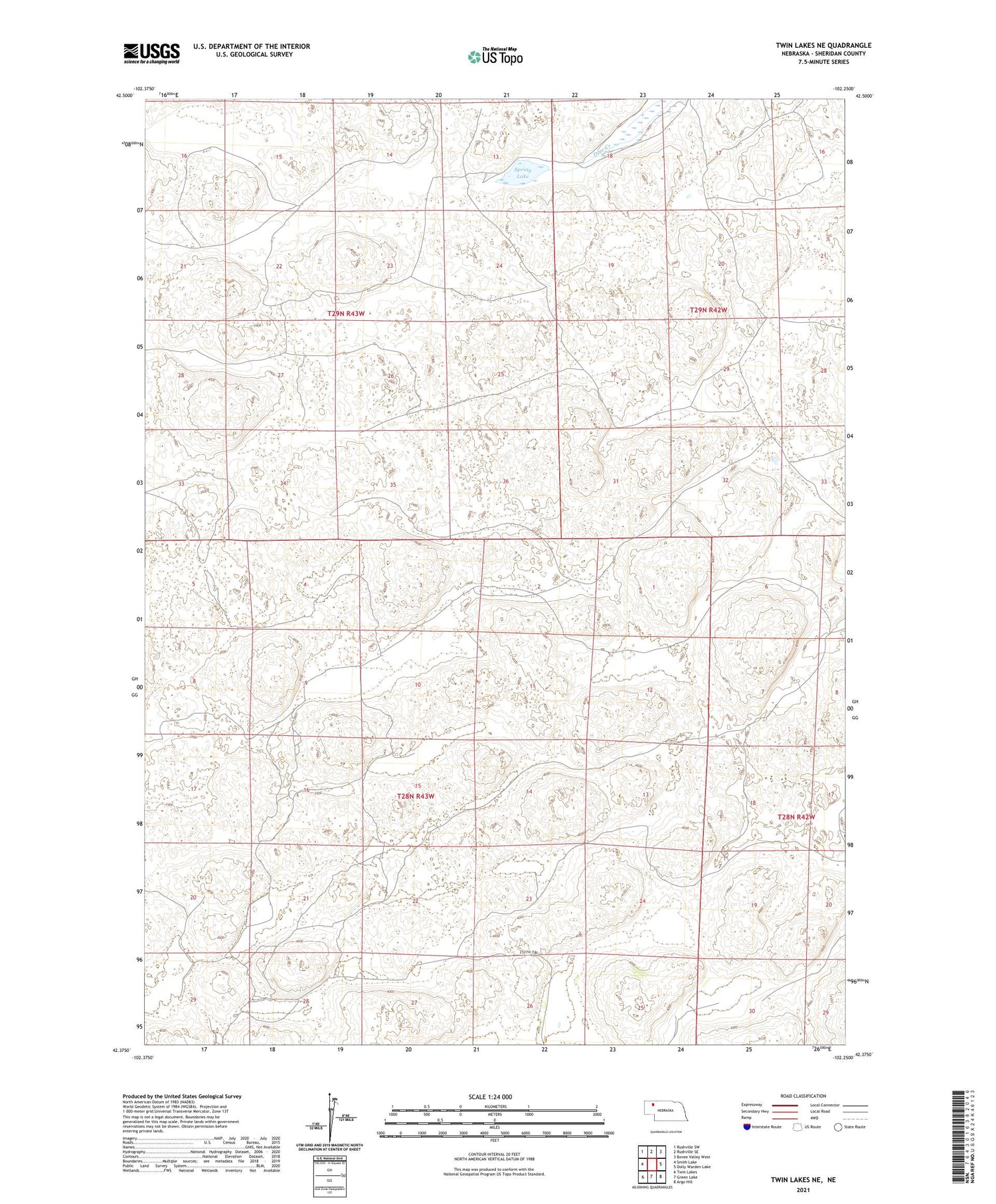
2021 topographic map quadrangle Twin Lakes NE in the state of Nebraska. Scale: 1:24000. Based on the newly updated USGS 7.5' US Topo map series, this map is in the following counties: Sheridan. The map contains contour data, water features, and other items you are used to seeing on USGS maps, but also has updated roads and other features. This is the next generation of topographic maps. Printed on high-quality waterproof paper with UV fade-resistant inks.
Quads adjacent to this one:
West: Smith Lake
Northwest: Rushville SW
North: Rushville SE
Northeast: Bovee Valley West
East: Dolly Warden Lake
Southeast: Argo Hill
South: Green Lake
Southwest: Twin Lakes
Contains the following named places: Forney Ranch, Forney Ranch Landing Strip, Golden Rule Public School, Nelson Ranch, Spring Lake, Spring Lake Camp