MyTopo
Willow Island Nebraska US Topo Map
Couldn't load pickup availability
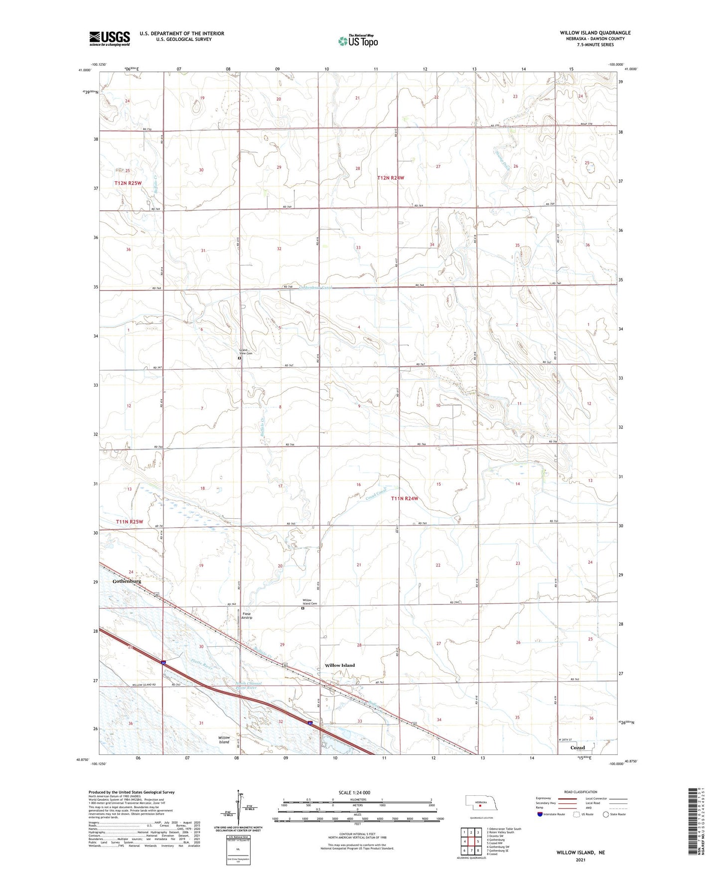
2021 topographic map quadrangle Willow Island in the state of Nebraska. Scale: 1:24000. Based on the newly updated USGS 7.5' US Topo map series, this map is in the following counties: Dawson. The map contains contour data, water features, and other items you are used to seeing on USGS maps, but also has updated roads and other features. This is the next generation of topographic maps. Printed on high-quality waterproof paper with UV fade-resistant inks.
Quads adjacent to this one:
West: Gothenburg
Northwest: Odencranze Table South
North: Roten Valley South
Northeast: Oconto SW
East: Cozad NW
Southeast: Cozad
South: Gothenburg SE
Southwest: Gothenburg SW
Contains the following named places: Camp Rockhaven, Center Star School, Cozad Canal, Fiese Airstrip, Gothenburg Canal, Gothenburg Election Precinct, Grand View Cemetery, Lucerne Valley School, School Number 81R, Township of German, Township of Willow Island, Willow Island, Willow Island Cemetery, Willow Island Census Designated Place, Willow Island Election Precinct, Willow Island Post Office, Willow Island School, Willow Island State Wildlife Management Area, ZIP Code: 69171