MyTopo
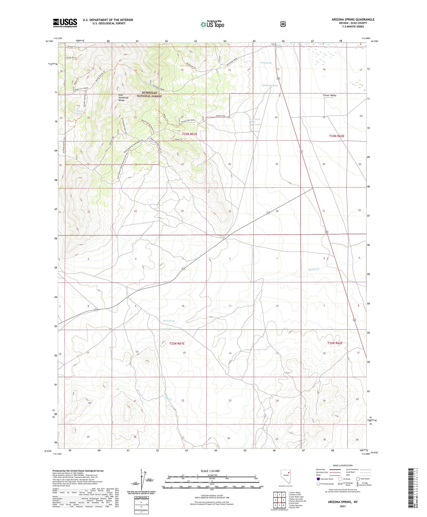
Arizona Spring Nevada US Topo Map
Couldn't load pickup availability
Also explore the Arizona Spring Forest Service Topo of this same quad for updated USFS data
2021 topographic map quadrangle Arizona Spring in the state of Nevada. Scale: 1:24000. Based on the newly updated USGS 7.5' US Topo map series, this map is in the following counties: Elko. The map contains contour data, water features, and other items you are used to seeing on USGS maps, but also has updated roads and other features. This is the next generation of topographic maps. Printed on high-quality waterproof paper with UV fade-resistant inks.
Quads adjacent to this one:
West: Ruby City Creek
Northwest: Secret Valley
North: Gordon Creek
Northeast: Snow Water Lake
East: Spruce Mountain NW
Southeast: Spruce Well
South: Valley Mountain
Southwest: Smith Well
This map covers the same area as the classic USGS quad with code o40115f1.
Contains the following named places: Arizona Spring, Clark Spring, Curtis Spring, Echo Mine, Government Corral, Government Spring, Outhouse Draw, Polar Star Mine, Warm Creek Mining District