MyTopo
Jumbo Peak Nevada US Topo Map
Couldn't load pickup availability
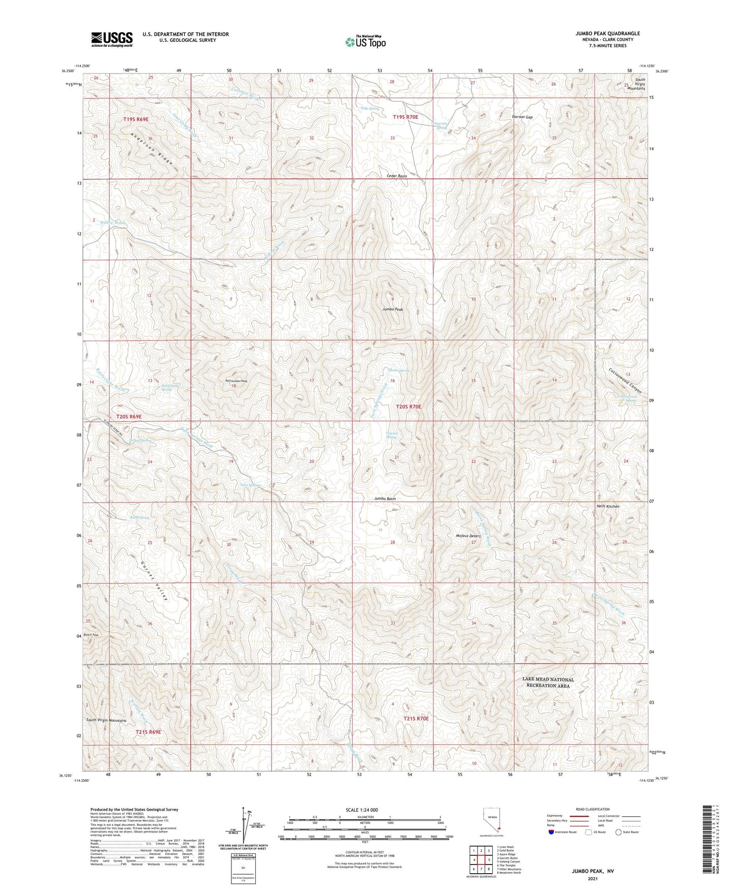
2021 topographic map quadrangle Jumbo Peak in the state of Nevada. Scale: 1:24000. Based on the newly updated USGS 7.5' US Topo map series, this map is in the following counties: Clark. The map contains contour data, water features, and other items you are used to seeing on USGS maps, but also has updated roads and other features. This is the next generation of topographic maps. Printed on high-quality waterproof paper with UV fade-resistant inks.
Quads adjacent to this one:
West: Garrett Butte
Northwest: Lime Wash
North: Gold Butte
Northeast: Azure Ridge
East: Iceberg Canyon
Southeast: Meadview North
South: Hiller Mountains
Southwest: The Temple
This map covers the same area as the classic USGS quad with code o36114b2.
Contains the following named places: Anderson Mine, Anderson Ridge, Bonelli Peak, Cedar Basin, Cottonwood Spring, Eureka, Falls Spring, Garnet Valley, Gotchel Spring, Grapevine Spring, Greenhorn Mine, Hells Kitchen, Jumbo Basin, Jumbo Peak, Jumbo Spring, Jumbo Springs Wilderness, Lakeshore Mine, Lookout Mine, Nevada Mica Mine, Pierson Gap, Radio Crystal Mine, Rattlesnake Peak, Rattlesnake Spring, Ruby Spring, Scanlon Dugway, Turkey Spring, Twin Springs, Windmill Mine