MyTopo
Bailey Mountain Nevada US Topo Map
Couldn't load pickup availability
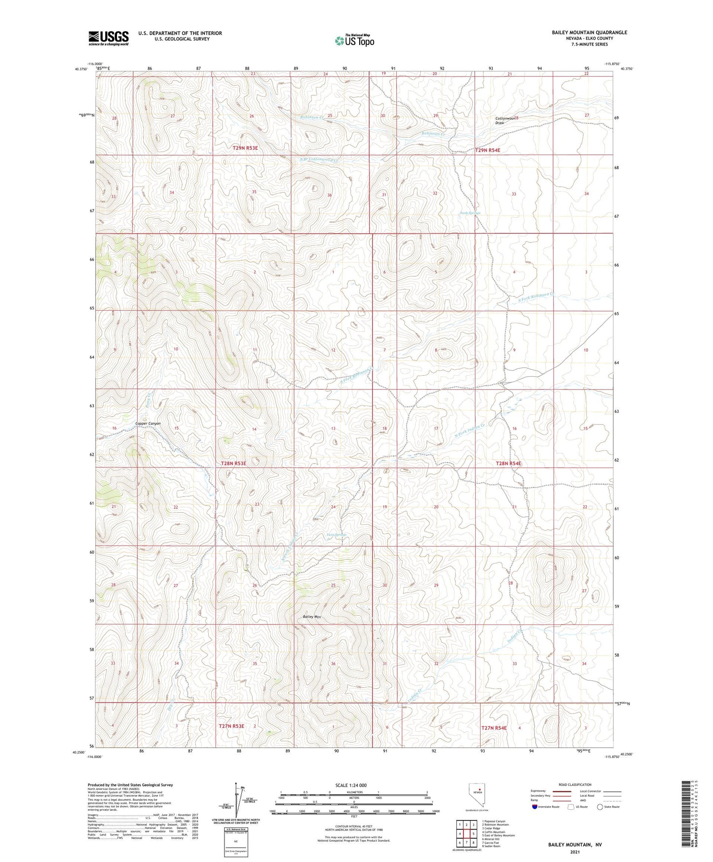
2021 topographic map quadrangle Bailey Mountain in the state of Nevada. Scale: 1:24000. Based on the newly updated USGS 7.5' US Topo map series, this map is in the following counties: Elko. The map contains contour data, water features, and other items you are used to seeing on USGS maps, but also has updated roads and other features. This is the next generation of topographic maps. Printed on high-quality waterproof paper with UV fade-resistant inks.
Quads adjacent to this one:
West: Coffin Mountain
Northwest: Papoose Canyon
North: Robinson Mountain
Northeast: Cedar Ridge
East: East of Bailey Mountain
Southeast: Sadler Basin
South: Garcia Flat
Southwest: Mineral Hill
This map covers the same area as the classic USGS quad with code o40115c8.
Contains the following named places: Bailey Mountain, Red Rock Ranch, Red Rock Ranch Airport, South Branch Cottonwood Creek, Toole Springs, Twin Springs