MyTopo
Mineral Hill Nevada US Topo Map
Couldn't load pickup availability
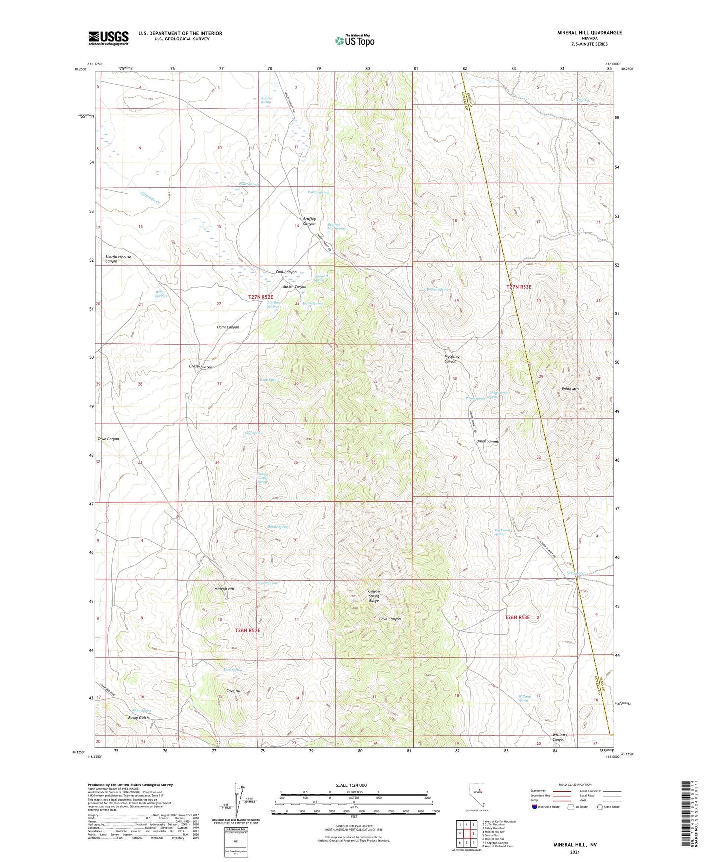
2021 topographic map quadrangle Mineral Hill in the state of Nevada. Scale: 1:24000. Based on the newly updated USGS 7.5' US Topo map series, this map is in the following counties: Eureka, Elko. The map contains contour data, water features, and other items you are used to seeing on USGS maps, but also has updated roads and other features. This is the next generation of topographic maps. Printed on high-quality waterproof paper with UV fade-resistant inks.
Quads adjacent to this one:
West: Mineral Hill NW
Northwest: West of Coffin Mountain
North: Coffin Mountain
Northeast: Bailey Mountain
East: Garcia Flat
Southeast: West of Railroad Pass
South: Telegraph Canyon
Southwest: Mineral Hill SW
This map covers the same area as the classic USGS quad with code o40116b1.
Contains the following named places: Aiken Spring, Austin Canyon, Austin Mine, Austin Spring, Bell Mine, Bruffey Canyon, Bruffey Ranch, Bruffeys Hot Springs, Cave Hill, Cave Spring, Chokecherry Spring, Cliff Spring, Coal Canyon, Corta Well Number One, Corta Well Number Two, Edwards Spring, Flynn Spring, Grant Mine, Grassy Canyon, Grassy Canyon Spring, Hams Canyon, Hams Spring, Mary Ann Mine, Matthew Springs, McColley Canyon, Middle Spring, Mineral Hill, Mineral Hill Mines, Mineral Hill Mining District, Mineral Hill Post Office, N-T Spring, Plummer Ranch, Pogonip Mine, Pratt Springs, Pump Spring, Rim Rock Mine, Rocky Gulch, Sherwood Post Office, Slaughterhouse Canyon, Star of the West Mine, Sulphur Spring, Sulphur Spring Range, Ten Voord Spring, Town Canyon, Union Mines Post Office, Union Mining District, Union Mountain, Union Summit, Vallejo Mine, Warm Spring, Williams Canyon, Williams Spring, Willow Spring, Willow Springs