MyTopo
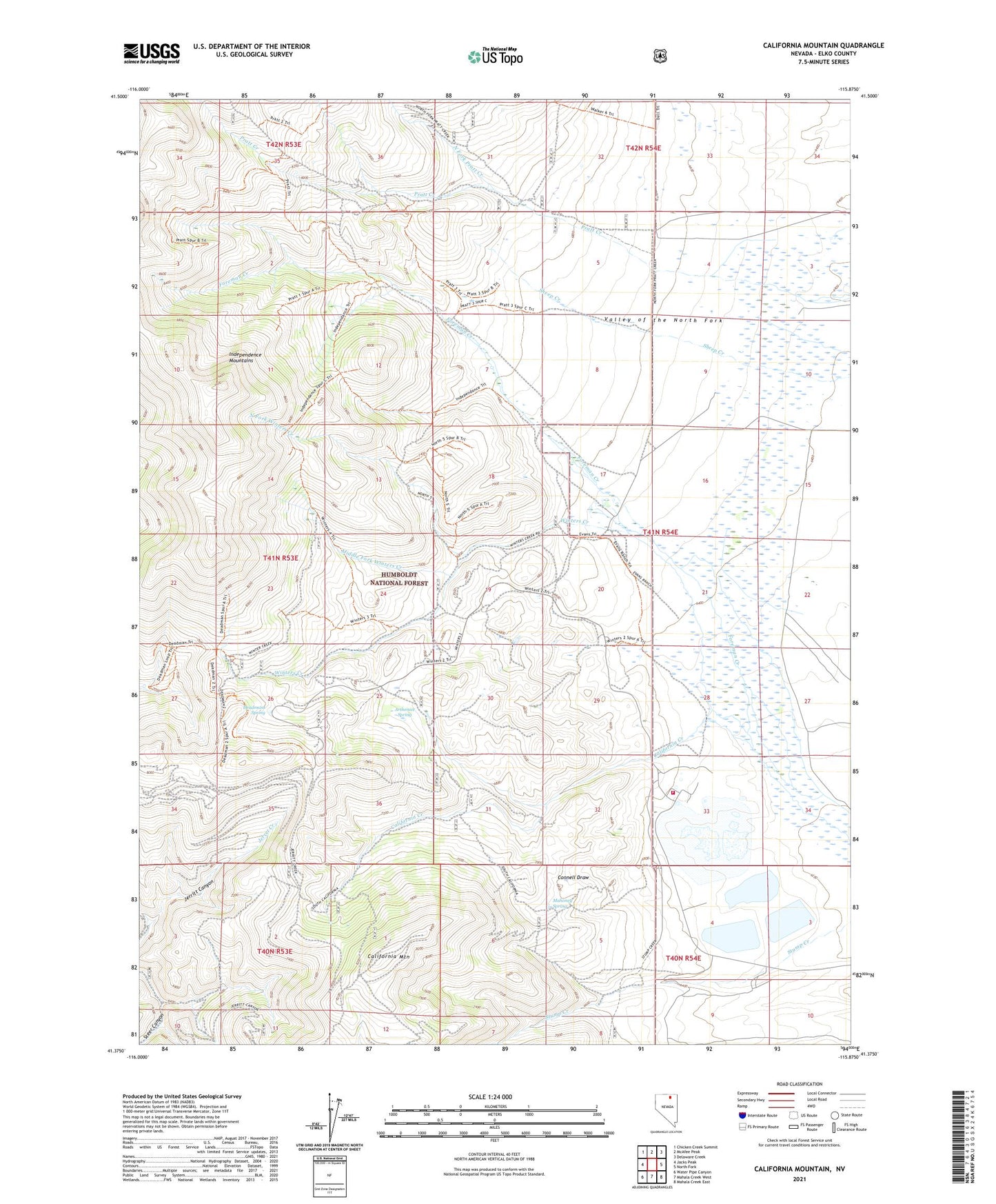
California Mountain Nevada US Topo Map
Couldn't load pickup availability
Also explore the California Mountain Forest Service Topo of this same quad for updated USFS data
2021 topographic map quadrangle California Mountain in the state of Nevada. Scale: 1:24000. Based on the newly updated USGS 7.5' US Topo map series, this map is in the following counties: Elko. The map contains contour data, water features, and other items you are used to seeing on USGS maps, but also has updated roads and other features. This is the next generation of topographic maps. Printed on high-quality waterproof paper with UV fade-resistant inks.
Quads adjacent to this one:
West: Jacks Peak
Northwest: Chicken Creek Summit
North: McAfee Peak
Northeast: Delaware Creek
East: North Fork
Southeast: Mahala Creek East
South: Mahala Creek West
Southwest: Water Pipe Canyon
This map covers the same area as the classic USGS quad with code o41115d8.
Contains the following named places: Arthenice Spring, California Creek, California Mountain, Deadmans Spring, Evans Ranch, Independence Mountain, Jerritt Canyon Mill, Jerritt Canyon Mine, Jerritt Canyon Mine Fire and Emergency Medical Services, Jose Ranch, Mahoney Spring, Middle Fork Winters Creek, North Fork Pratt Creek, North Fork Winters Creek, Steer Canyon, Winters Creek