MyTopo
Water Pipe Canyon Nevada US Topo Map
Couldn't load pickup availability
Also explore the Water Pipe Canyon Forest Service Topo of this same quad for updated USFS data
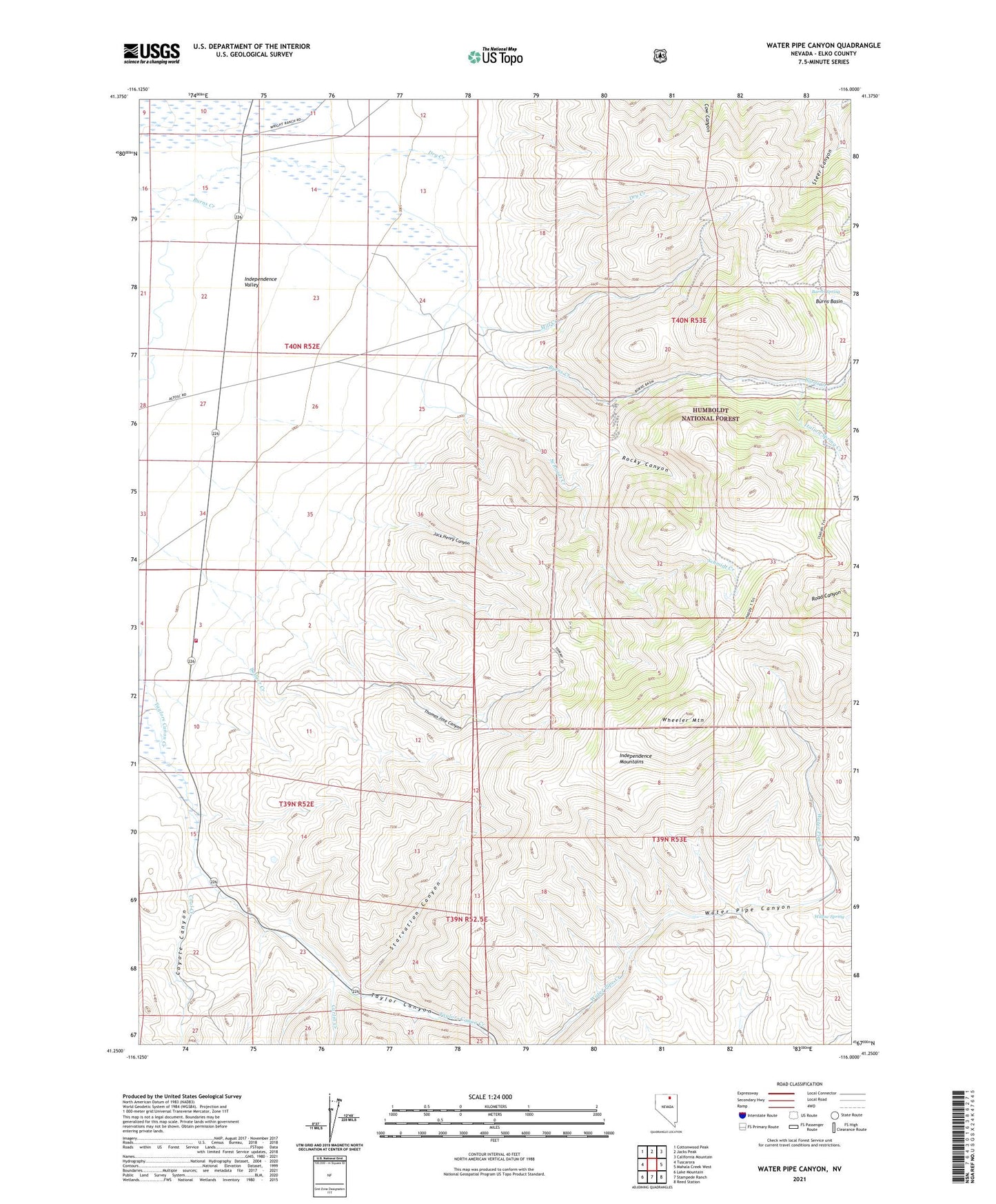
2021 topographic map quadrangle Water Pipe Canyon in the state of Nevada. Scale: 1:24000. Based on the newly updated USGS 7.5' US Topo map series, this map is in the following counties: Elko. The map contains contour data, water features, and other items you are used to seeing on USGS maps, but also has updated roads and other features. This is the next generation of topographic maps. Printed on high-quality waterproof paper with UV fade-resistant inks.
Quads adjacent to this one:
West: Tuscarora
Northwest: Cottonwood Peak
North: Jacks Peak
Northeast: California Mountain
East: Mahala Creek West
Southeast: Reed Station
South: Stampede Ranch
Southwest: Lake Mountain
This map covers the same area as the classic USGS quad with code o41116c1.
Contains the following named places: Barrel Spring, Basin Burns Mine, Calamity Ranch, Carlin Creek, Coal Creek, Coyote Canyon, Coyote Creek, Doheny Ranch, Dry Creek, Happy Camp, Independence Valley, Independence Valley Volunteer Fire Department, Italian Spring Creek, Jack Henry Canyon, Mill Creek, Rocky Canyon, Schmidt Creek, Sixmile Creek, Starvation Canyon, Thomas Jose Canyon, Van Norman Ranch, Wheeler Mountain, Williams Ranch, Willow Spring