MyTopo
Callville Bay Nevada US Topo Map
Couldn't load pickup availability
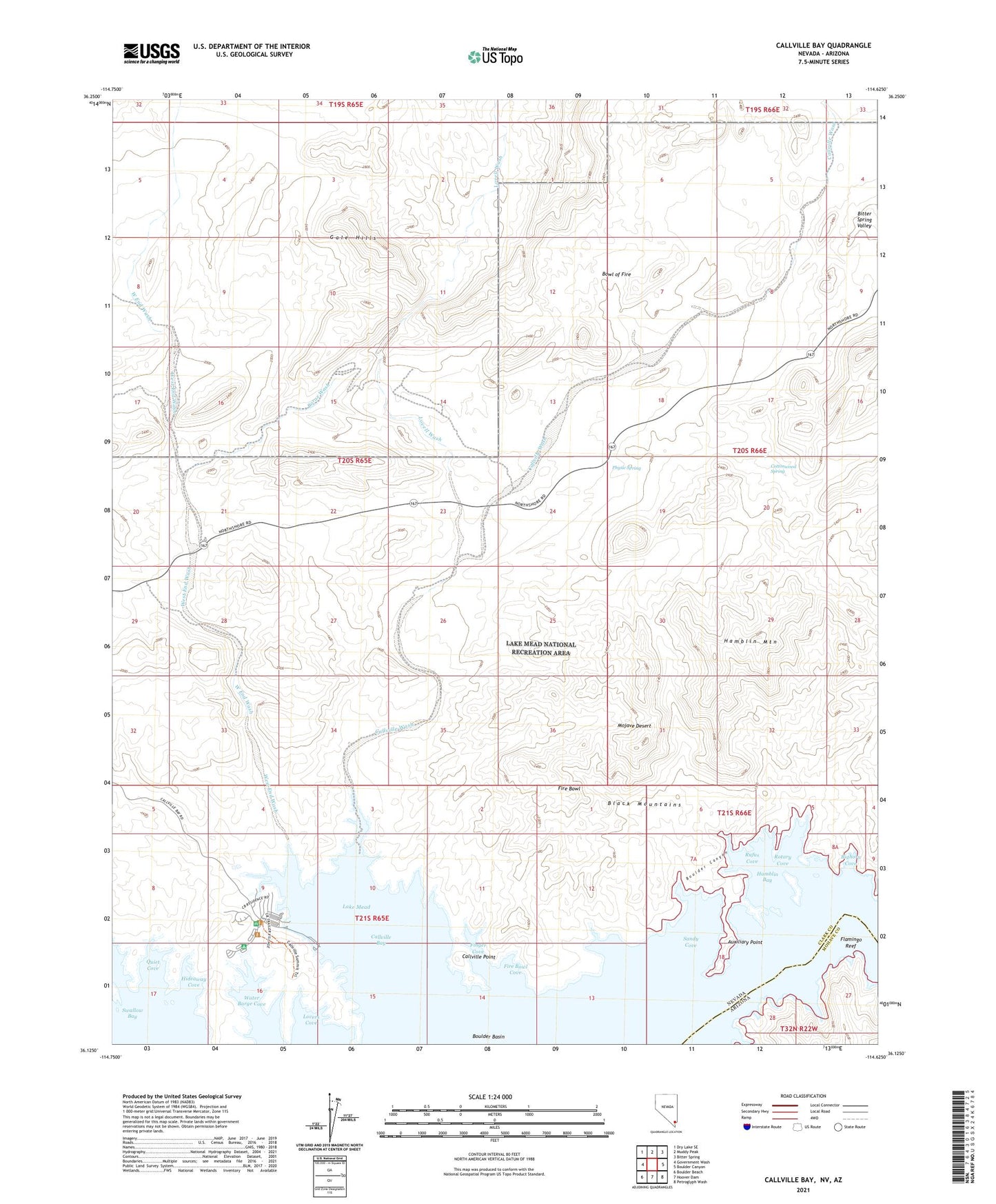
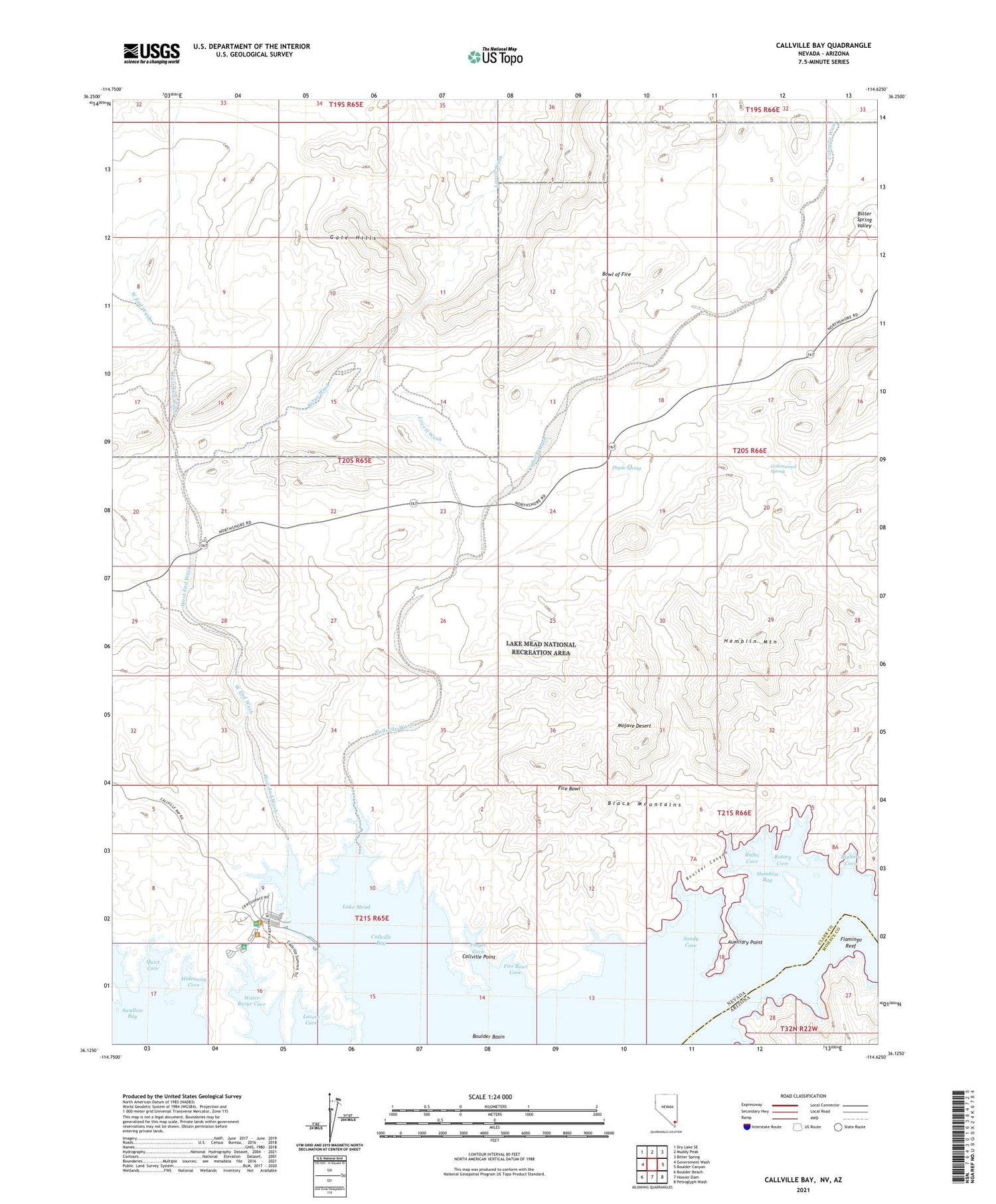
2021 topographic map quadrangle Callville Bay in the states of Nevada, Arizona. Scale: 1:24000. Based on the newly updated USGS 7.5' US Topo map series, this map is in the following counties: Clark, Mohave. The map contains contour data, water features, and other items you are used to seeing on USGS maps, but also has updated roads and other features. This is the next generation of topographic maps. Printed on high-quality waterproof paper with UV fade-resistant inks.
Quads adjacent to this one:
West: Government Wash
Northwest: Dry Lake SE
North: Muddy Peak
Northeast: Bitter Spring
East: Boulder Canyon
Southeast: Petroglyph Wash
South: Hoover Dam
Southwest: Boulder Beach
Contains the following named places: Anniversary Mine, Auxiliary Point, Bighorn Cove, Borax Wash, Boulder Canyon, Bowl of Fire, Callville Bay, Callville Point, Callville Wash, Cottonwood Spring, Finger Cove, Fire Bowl, Fire Bowl Cove, Flamingo Reef, Hamblin Bay, Hamblin Mountain, Hideaway Cove, Lovell Wash, Lovers Cove, Physic Spring, Quiet Cove, Rotary Cove, Rufus Cove, Sandy Cove, Swallow Cove, Water Barge Cove, West End, West End Mine, West End Wash