MyTopo
Cattle Camp Spring Nevada US Topo Map
Couldn't load pickup availability
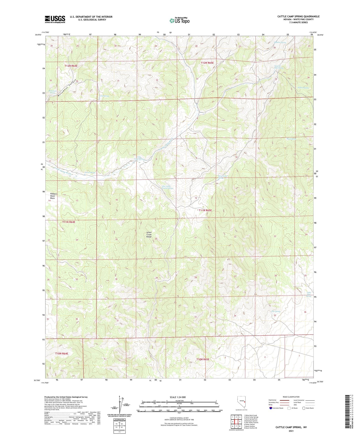
2021 topographic map quadrangle Cattle Camp Spring in the state of Nevada. Scale: 1:24000. Based on the newly updated USGS 7.5' US Topo map series, this map is in the following counties: White Pine. The map contains contour data, water features, and other items you are used to seeing on USGS maps, but also has updated roads and other features. This is the next generation of topographic maps. Printed on high-quality waterproof paper with UV fade-resistant inks.
Quads adjacent to this one:
West: Bullwhack Summit
Northwest: White Rock Creek
North: Horse Camp Springs
Northeast: North Spring Point
East: Lake Valley Summit
Southeast: Mount Grafton NE
South: Mount Grafton
Southwest: Parker Station
This map covers the same area as the classic USGS quad with code o38114g6.
Contains the following named places: Black Spring, Burnt Knoll Spring, Cattle Camp Spring, John Spring, Lake Valley Summit Spring, Little Pine Spring, Lower Spring, Meadow Spring, Monument Spring, Pine Spring, Virginia Dale Spring, Willow Spring