MyTopo
Horse Camp Springs Nevada US Topo Map
Couldn't load pickup availability
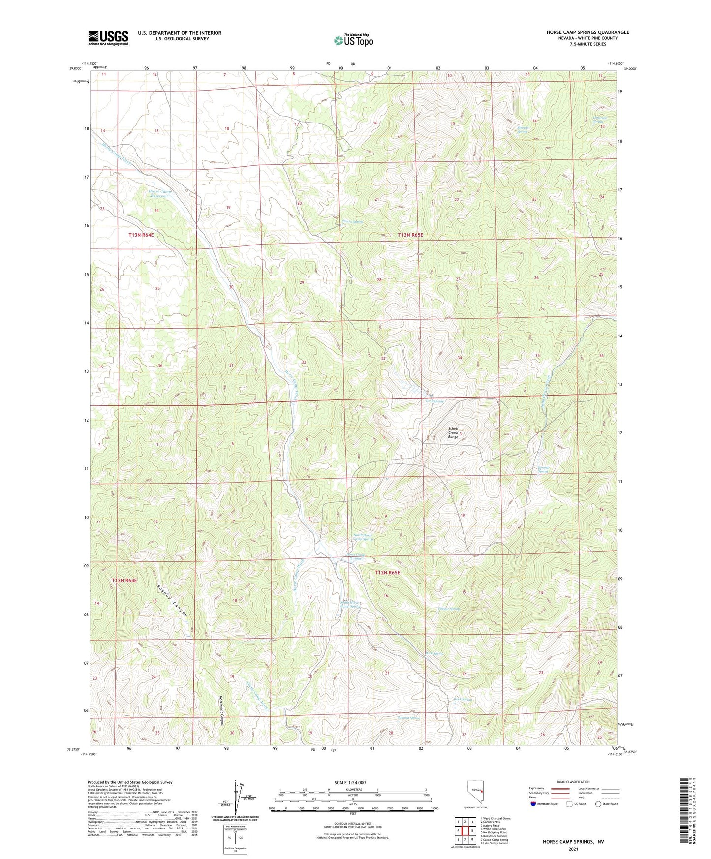
2021 topographic map quadrangle Horse Camp Springs in the state of Nevada. Scale: 1:24000. Based on the newly updated USGS 7.5' US Topo map series, this map is in the following counties: White Pine. The map contains contour data, water features, and other items you are used to seeing on USGS maps, but also has updated roads and other features. This is the next generation of topographic maps. Printed on high-quality waterproof paper with UV fade-resistant inks.
Quads adjacent to this one:
West: White Rock Creek
Northwest: Ward Charcoal Ovens
North: Connors Pass
Northeast: Majors Place
East: North Spring Point
Southeast: Lake Valley Summit
South: Cattle Camp Spring
Southwest: Bullwhack Summit
This map covers the same area as the classic USGS quad with code o38114h6.
Contains the following named places: Bennett Spring, Buck Spring, Cherry Spring, Cold Springs, Cougar Spring, Horse Camp, Horse Camp Reservoir, Horse Camp Springs, Limerock Spring, North Horse Camp Spring, Rock Spring, South Horse Camp Spring, Stevens Spring, Summit Spring